
Summary Results for City / Town Hall Structures in OH and WV
By The National Map Corps
December 18, 2019
This challenge is now complete!! Thank you to everyone who contributed! Here is a time lapse of our volunteer contributions for this challenge:
Media
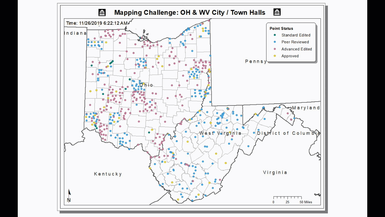
Sources/Usage: Public Domain. View Media Details
Overall, 13 volunteers participated and edited 598 unique points throughout the challenge.
Here is a summary of the edits by user role:
- Standard Editor: 23
- Peer Reviewer: 356
- Advanced Editor: 459
Thank you to all the volunteers who contributed!
- alex_frese
- dcubuia
- detour
- geo163
- Jabo911
- jaredcampbell
- kmmyers
- Map_Jockey
- mattshade
- Old Dad
- Peregrine
- RIsailor
- Vy Phan Tuong Le
Reach out to us at nationalmapcorps@usgs.gov with questions. Thank you for all that you do, and happy mapping!