3D Elevation Program:
Elevation Data for the Nation
The USGS 3D Elevation Program (3DEP) announces the availability of a new dynamic map service.
The recently released map service allows users to explore multiple resolutions of 3DEP data available in The National Map. Service Directory: https://elevation.nationalmap.gov/arcgis/rest/services/3DEPElevation/ImageServer
The new elevation map service creates multi-resolution visualizations on-the-fly, allowing users to explore a variety of representations including: hillshade; aspect; slope; and tinted hillshade maps, as well as automated contours and more. In addition, Open Geospatial Consortium (OGC) Web Map Service (WMS) and Web Coverage Service (WCS) interfaces are enabled to support interoperability across systems.

The dynamic platform supports the exploration of Digital Elevation Models (DEMs) for the US and territories at a mixture of scales, including 1 meter DEMs. That data will continue to become increasingly available as 3DEP progresses towards its goal to complete nationwide lidar data coverage (IfSAR in Alaska) by 2023. The most current, highest resolution elevation data available are highlighted as users zoom in to larger scales. All available resolutions of data can be visualized through the 3DEP Elevation Data Availability Index service. Availability and scales of data vary by location. Datasets are described on the 3DEP Products and Services webpage.
Quick access to the following dynamically-generated elevation derivatives include:
- Hillshade – a grayscale 3D representation of the terrain surface with a solar azimuth of 315 degrees and solar altitude of 45 degrees.
- Multi-Directional Hillshade – shows hillshades computed from 6 different directions.
- Elevation Tinted Hillshade – is a combination of a hillshade applied to the Terrain, fused to a colormap applied to the same Terrain to represent elevation.
- SlopeMap – the degree of slope is represented by a colormap that represents flat surfaces as gray, shallow slopes as light yellow, moderate slopes as light orange and steep slopes as red-brown.
- AspectMap - simultaneously shows the aspect (direction) and degree (steepness) of slope for a terrain (or other continuous surface). Aspect categories are symbolized using hues (e.g., red, orange, yellow, etc.) and degree of slope classes are mapped with saturation (or brilliance of color) so that the steeper slopes are brighter.
- Contour – a raster contour function that supports specified contour intervals and options for smoothing to create more cartographically pleasing contours.
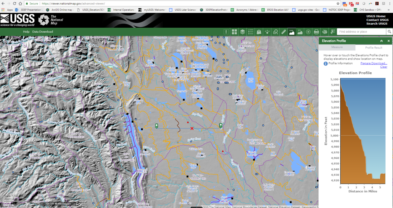
These capabilities can be explored through the 3DEP Demonstration Elevation Application, an application enabling the exploration of US Digital Elevation Models (DEMs) that are published by USGS on The National Map. The Identify tool enables values for the specified point as well as information on the source DEM and links to download the source data. From the app it is also possible to download images of the defined areas of the DEMs.
For additional advanced web mashup functionality such as using other National Map data layers with these elevation visualization services, users can also work with the services in the National Map Viewer.
The full list of Web based map services available from The National Map can be found at: https://viewer.nationalmap.gov/services/.