
The Golden Trout Creek volcanic field: Anything but fishy!
Like the Big Pine volcanic field, the Golden Trout Creek volcanic field holds a group of olivine basalt scoria cones and lava flows with several rhyolite lava domes interspersed.
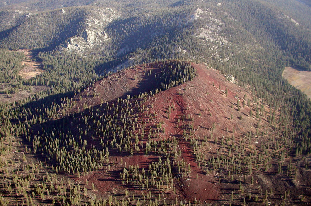
Like the Big Pine volcanic field, the Golden Trout Creek volcanic field holds a group of olivine basalt scoria cones and lava flows with several rhyolite lava domes interspersed. Located in the Toowa Valley about 25 km (15.5 mi) south of Mount Whitney (the highest peak in the lower 48 states), the volcanoes here erupted through the granites of the Sierra Nevada batholith between 743,000 and 52,000 years ago. Unlike the Big Pine and Coso volcanic fields, the rocks here contain few xenoliths ("alien stones"), which means that their magmas didn't incorporate much of the crust on their way to the surface. The field gets its name from (naturally) the Golden trout, a sub-species of rainbow trout and the official state fish of California!
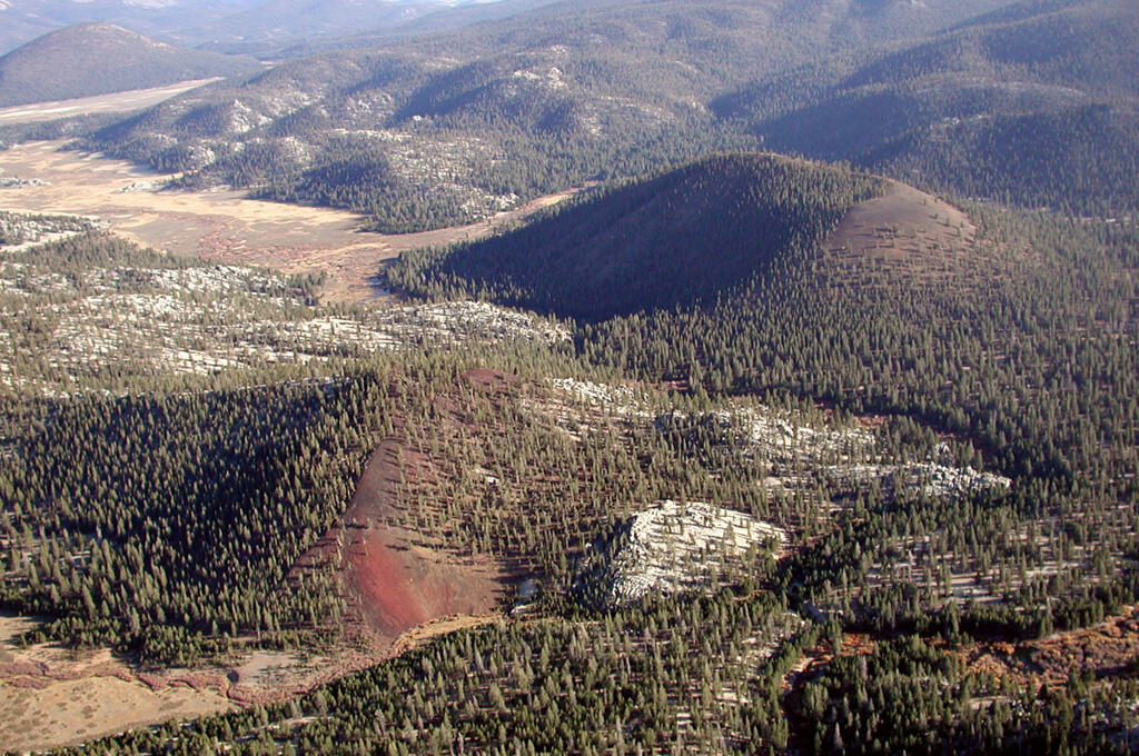
Some of the lava flows associated with these cones are covered with glacial material, deposited during one of the multiple episodes of glaciation that shaped the Sierra Nevada. During these times, massive ice sheets scraped and shredded the mountains they rested on, grinding down rock and dragging the resulting sand and boulders along with the ice as it flowed across the landscape. These deposits look like enormous rubble piles and sometimes leave giant boulders from far away perched atop very different types of rock. Unlike a xenolith, these moraines and glacial "erratics" were not carried up from inside the earth, but only transported along its surface. In the process, they often leave grooved and polished surfaces behind, including on lava flows. By recognizing signs of glaciation and using a combination of dating methods (including radioactive isotopes and length of exposure to cosmic rays), scientists were able to unravel the eruptive history at the Golden Trout Creek volcanic field: short periods of activity punctuated by the Tahoe glaciation (42,000-50,000 and 140,000-200,000 years ago).