U.S. flag

An official website of the United States government

On Tuesday, July 7, USGS Hawaiian Volcano Observatory geologists completed a brief monitoring helicopter overflight of Halema‘uma‘u crater at the summit of Kīlauea. 


Media
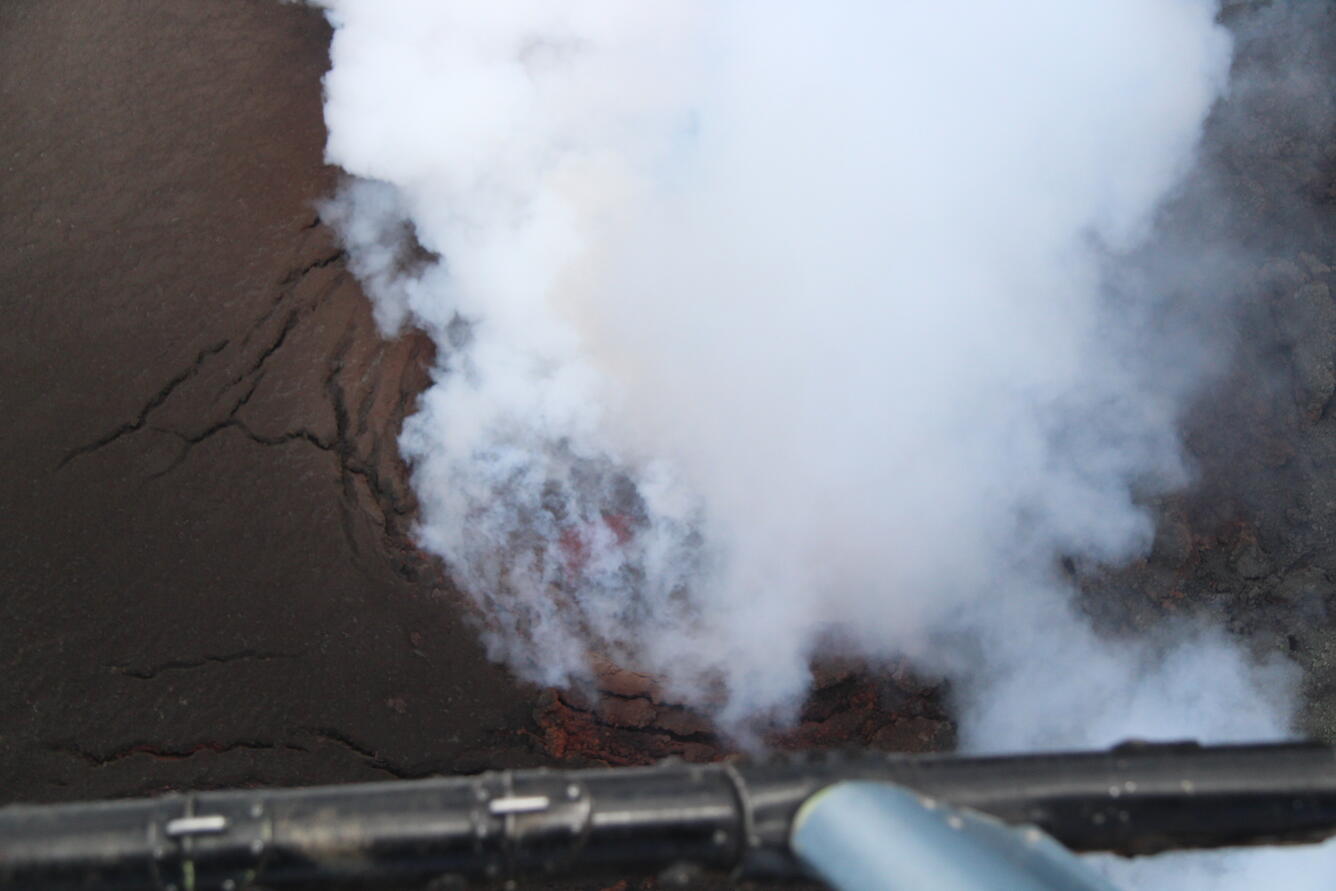
Color photograph of volcanic vent degassing with lava below
During the USGS Hawaiian Volcano Observatory Kīlauea summit monitoring overflight on July 7, geologists had to look straight down into the south vent in Halema‘uma‘u to see the active lave pond within. This downward-looking photo was the only one they captured showing the faintly visible lava surface; in all the geologists' other photos, it was obscured by thick fume in the eruptive conduit. USGS photo by M. Zoeller.
Media
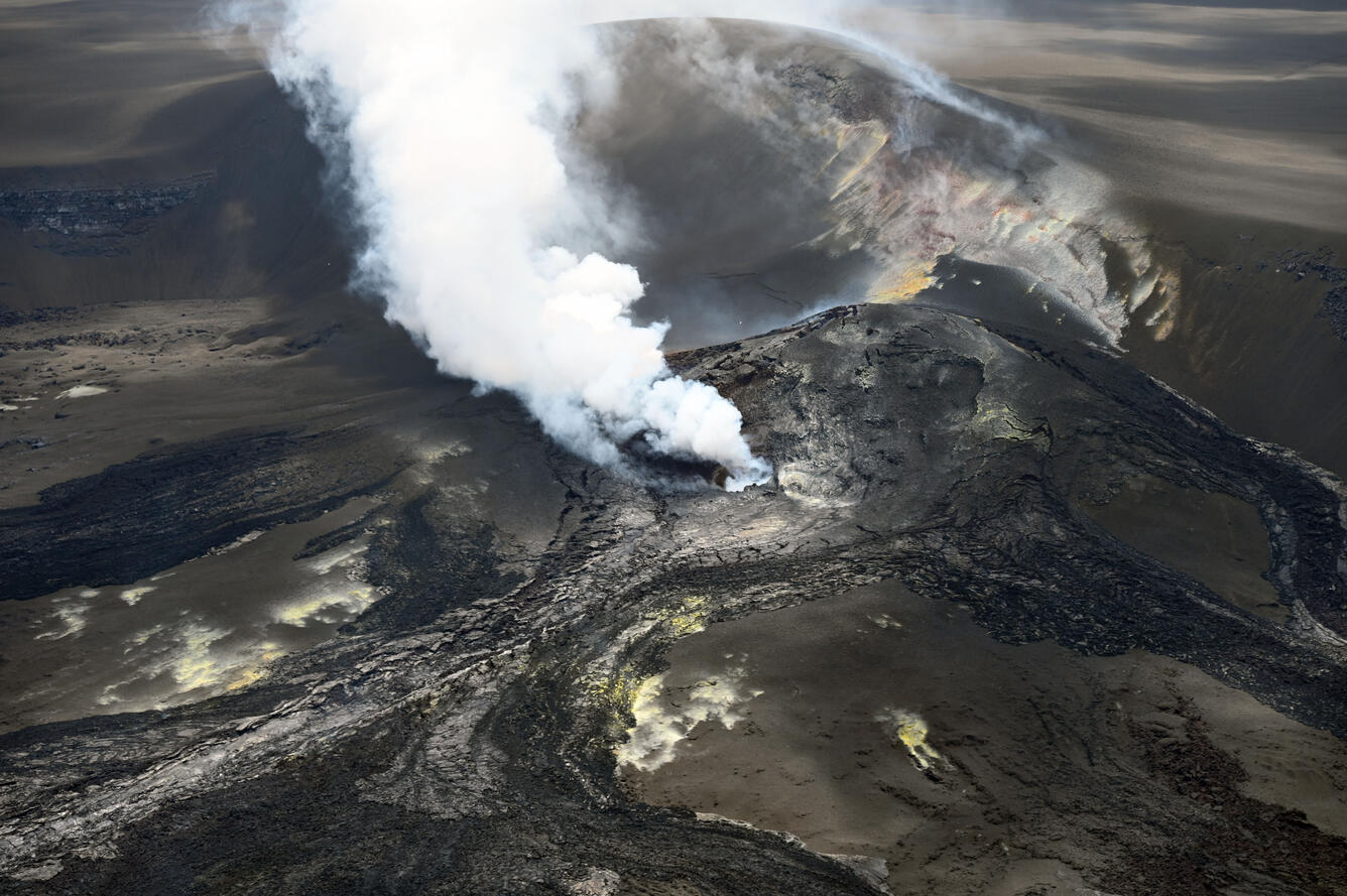
Color photograph of volcanic vents degassing
On Tuesday, July 7, USGS Hawaiian Volcano Observatory geologists completed a brief monitoring helicopter overflight of Halema‘uma‘u crater at the summit of Kīlauea. They captured photos to construct a three-dimensional digital elevation model of the crater, and they overflew the eruptive vents to check for lava; an active lava pond deep was visible deep within the south vent, but no lava was visible within the north vent. This overview photo of the vent complex was captured looking to the south-southwest, with the north vent apparent near the center of the frame and the south vent obscured by the plume behind. USGS photo by E. Gallant.


Was this page helpful?