U.S. flag

An official website of the United States government

On July 2, three USGS Hawaiian Volcano Observatory scientists flew via helicopter to the northwest side of Halema‘uma‘u at the summit of Kīlauea to sample tephra deposits in the crater wall. 

Media
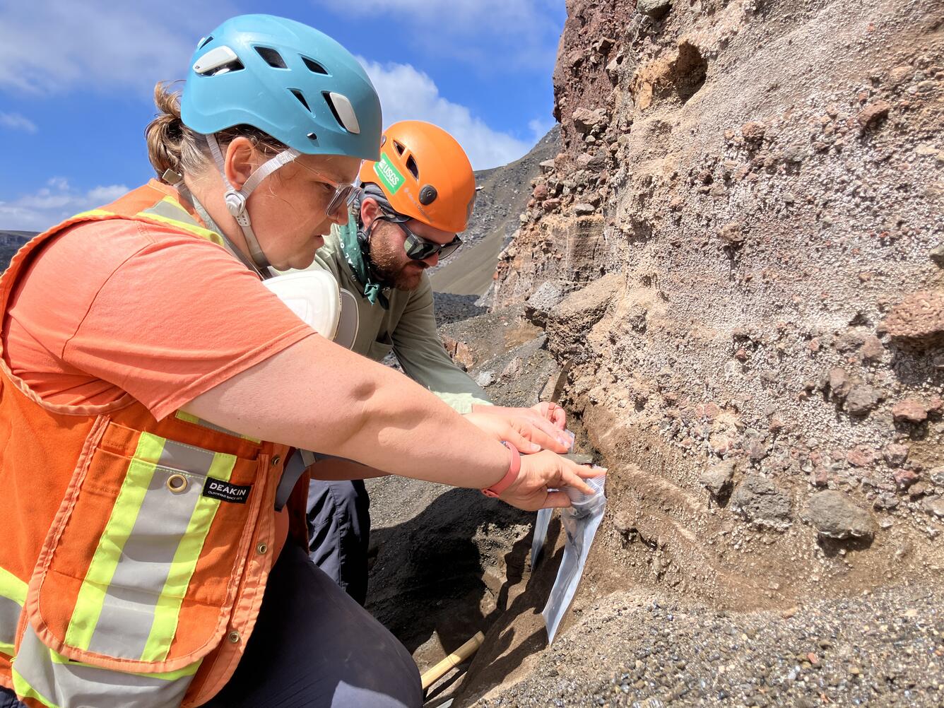
Color photograph of scientists sampling vertical exposure of explosive volcanic deposit
This photo was captured during the July 2 mission to the northwest side of Halema‘uma‘u crater, which was done with permission from and coordination with Hawai‘i Volcanoes National Park. The two USGS Hawaiian Volcano Observatory scientists pictured here are collecting tephra from a deposit exposed in the northwest crater wall. Physical and geochemical study of these samples will hopefully improve scientists' understanding of Kīlauea's long-term eruptive history, especially the magmatic processes associated with explosive eruptions at the volcano. USGS photo by M. Zoeller.
Media
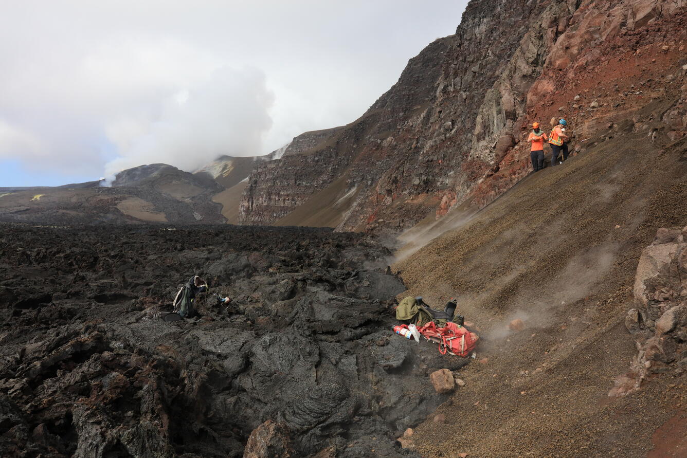
Color photograph of scientists sampling crater wall with volcanic vents degassing in background
On July 2, three USGS Hawaiian Volcano Observatory scientists flew via helicopter to the northwest side of Halema‘uma‘u at the summit of Kīlauea to sample tephra deposits in the crater wall. These deposits were exposed by the 2018 summit collapse, but lava flows from the ongoing episodic Kīlauea summit eruption are likely to bury them again in the near future. Refilling the of the crater by eruptions in Halema‘uma‘u since 2020, including the ongoing episode lava fountaining eruption made it fairly easy to access the deposits, which just a few years ago were halfway up the cliff. The vent complex from the ongoing eruption can be seen in the distance on the left. USGS photo by M. Zoeller.
Was this page helpful?