U.S. flag

An official website of the United States government

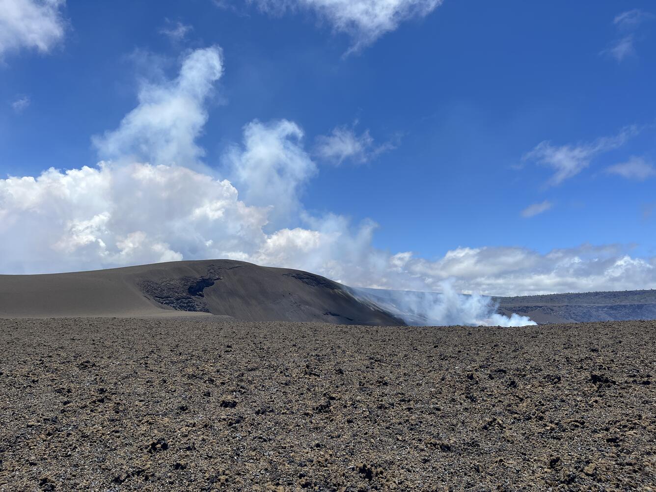
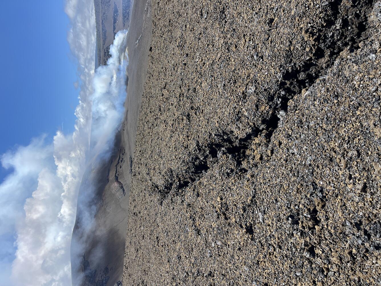
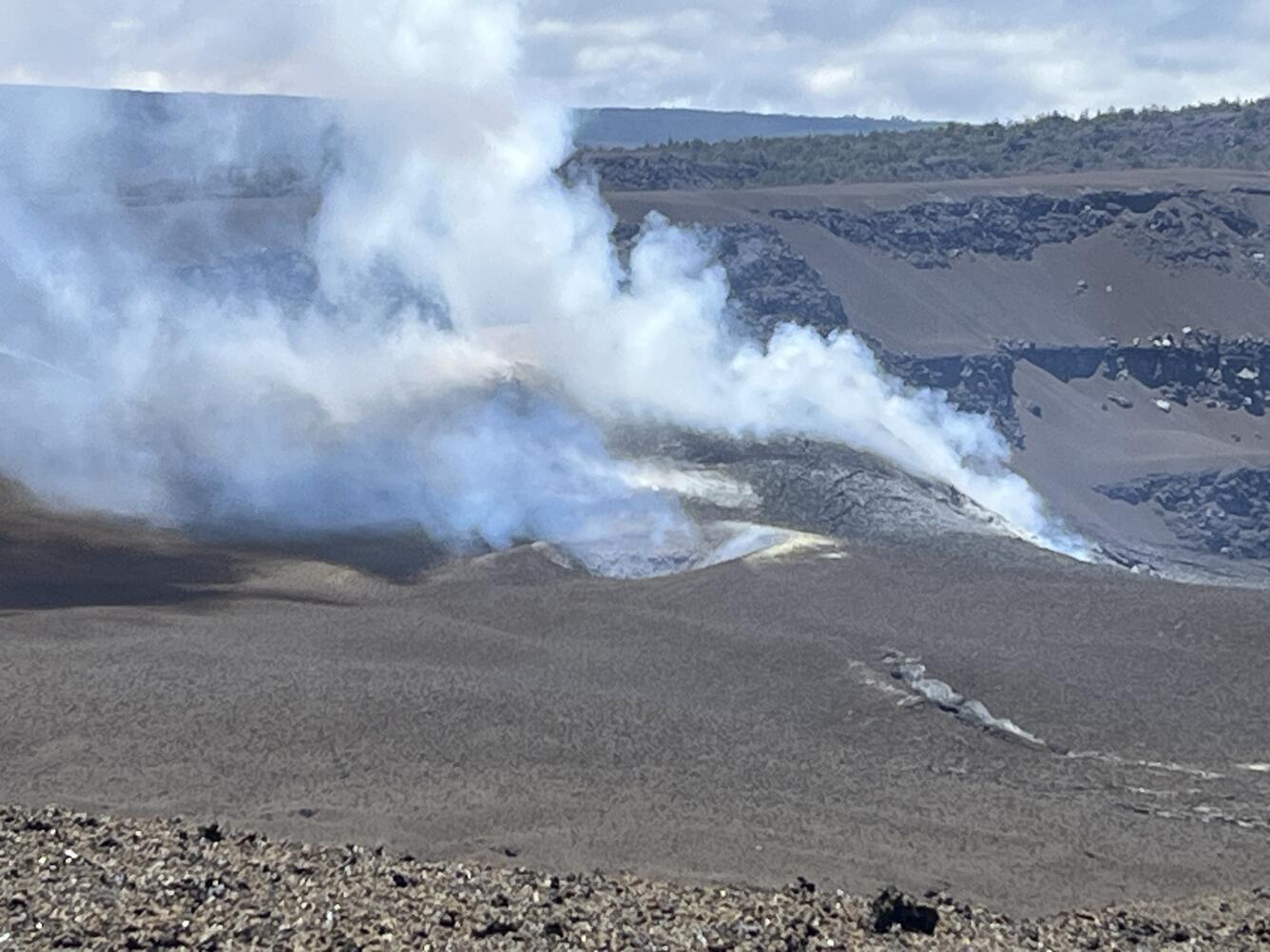
On Tuesday, May 19, 2026, scientists at the USGS Hawaiian Volcano Observatory conducted a GPS survey to measure the elevation along a transect across the tephra cone formed by lava fountaining episodes at the summit of Kīlauea. Repeat measurements across the same set of points have been done after episodes to track the hill growth and changes over time.


Media
Color photograph of volcanic vents degassing
Media
Color photograph of volcanic deposit with crack in the ground
The area south of Halema‘uma‘u has many ground cracks, many associated with the 2018 Kīlauea summit collapse and others associated with more recent earthquakes and ground deformation. While tephra from the ongoing summit eruption has covered and obscured many ground cracks, the deposit itself in places has deep cracks. This photo shows a crack in the reticulite (a lightweight and frothy tephra) deposit erupted and emplaced during episode 38 on December 6, 2025. The north and south vents are degassing in the background. The north vent is to the right and has an opaque white plume rising from it, while south vent is to its left and has a broader plume with a bluish tinge. USGS photo by N. Deligne. 
Media
Color photograph of volcanic vents degassing
This telephoto view looking northwest shows the south vent (center), with the north vent (right) just out of view, in Halema‘uma‘u crater at the summit of Kīlauea. In the leadup to episode 47, the south vent had about 75 overflows, but only the north vent produced lava fountaining during episode 47. Both vents are degassing in the photo. With the eruption now paused, the sulfur dioxide (SO2) emission rate from the summit is likely now varying within a typical range of 1,000 to 5,000 tonnes per day. USGS photo by N. Deligne.
Was this page helpful?