



By land, by air, and by water: Servicing Yellowstone’s geophysical monitoring networks
Neither snow nor rain nor heat nor gloom of night keeps the engineers who service Yellowstone’s monitoring networks from reaching stations in every corner of the park.
Yellowstone Caldera Chronicles is a weekly column written by scientists and collaborators of the Yellowstone Volcano Observatory. This week's contribution is from Lexi Kenis, Science Communication Intern with EarthScope Consortium.
How do we keep an eye on deformation, seismic activity, and other dynamic behavior of perhaps the world’s most notorious volcano year-round? Monitoring geological activity at Yellowstone requires a vast network of instrumentation. This network includes tiltmeters, seismometers, meteorological instruments, strainmeters, and GPS stations spread throughout the park—including in some pretty remote locations. In a park bigger than Delaware and Rhode Island combined, accessing these stations for necessary upgrades and repairs can be challenging. This becomes even more apparent when you realize the harsh winters that characterize the region for much of the year. Let’s have a look at all the transportation methods used by field engineers to reach these important sites!
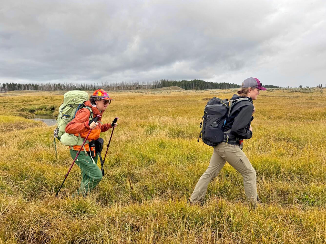
Hiking the backcountry: With more than 1,000 miles of trails in the park, hiking is an obvious choice for performing small upgrades that require minimal equipment. This summer, for example, two EarthScope field engineers—and an excited Science Communication Intern! — set out on a 10-mile round-trip hike into Hayden Valley to the HVWY GPS station. The route involved crossing a small stream, keeping a close eye on roving herds of bison, and trying to stay dry during an unexpected rainstorm.
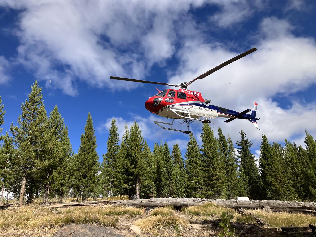
Helicopter: For new site installations and certain equipment upgrades, there is no way to carry hundreds of pounds of equipment great distances away from developed roads. Engineers must instead take to the skies to get themselves and their tools to more remote locations. Thanks to the Yellowstone National Park helitack crew, engineers were able to reach the WLWY GPS station on the Sour Creek resurgent dome in September 2025 to replace a corroded antenna cable, establish new meteorological sensors, and install a new cellular modem to allow for faster, more reliable data transmission. Use of the park’s helicopter, however, is never a sure thing because the helitack crew also supports wildland fire responses, search and rescue, and other missions. Rough weather or deep snow can also limit the helicopter’s ability to fly or land safely, so engineers sometimes must brave the elements without air transportation.
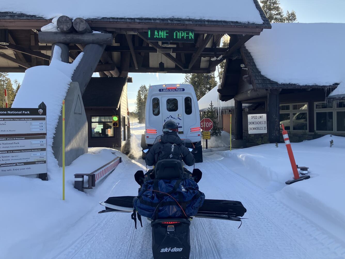
Snowmobile: In the winter, access to much of Yellowstone National Park requires travel “oversnow”. Enter the snowmobile, which can cover great distances while carrying even heavy loads. In 2025, a snowmobile was required to access the GPS station at Madison Junction (P711). Well, almost…Snowmobiles must stay on groomed, oversnow roads. Because monitoring sites are typically located far off the beaten path, snowmobiles can’t get you all the way there. Instead, this convenient transportation must be coupled with something a little more old school.
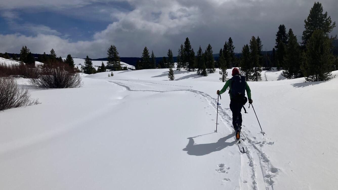
Cross-country skiing: To complete the trek to P711, engineers had to pack their bags and strap on their skis. Not every repair can wait until the snow melts, and field season runs all year long in Yellowstone, so having multiple ways to access a station ensures that data can be collected and retrieved no matter the weather. Still, for some remote sites, it is necessary to wait for the snow and ice to melt…
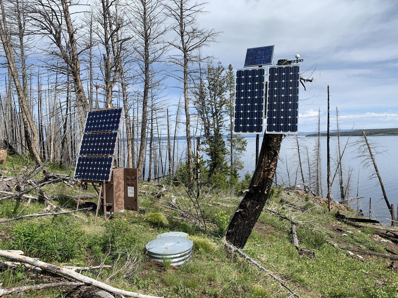
Boat: The Promontory Point GPS station (P709) is located on a peninsula between the South and Southeast Arms of Yellowstone Lake. For work that requires lots of equipment, this site can only be accessed by boat. And it is an important site to keep operational, given that it marks a point that is on the south margin of the caldera, which rises and falls over time. But what do you do if you can’t fly, sail, drive, or carry all the batteries you need for a site upgrade? You get a horse, of course!
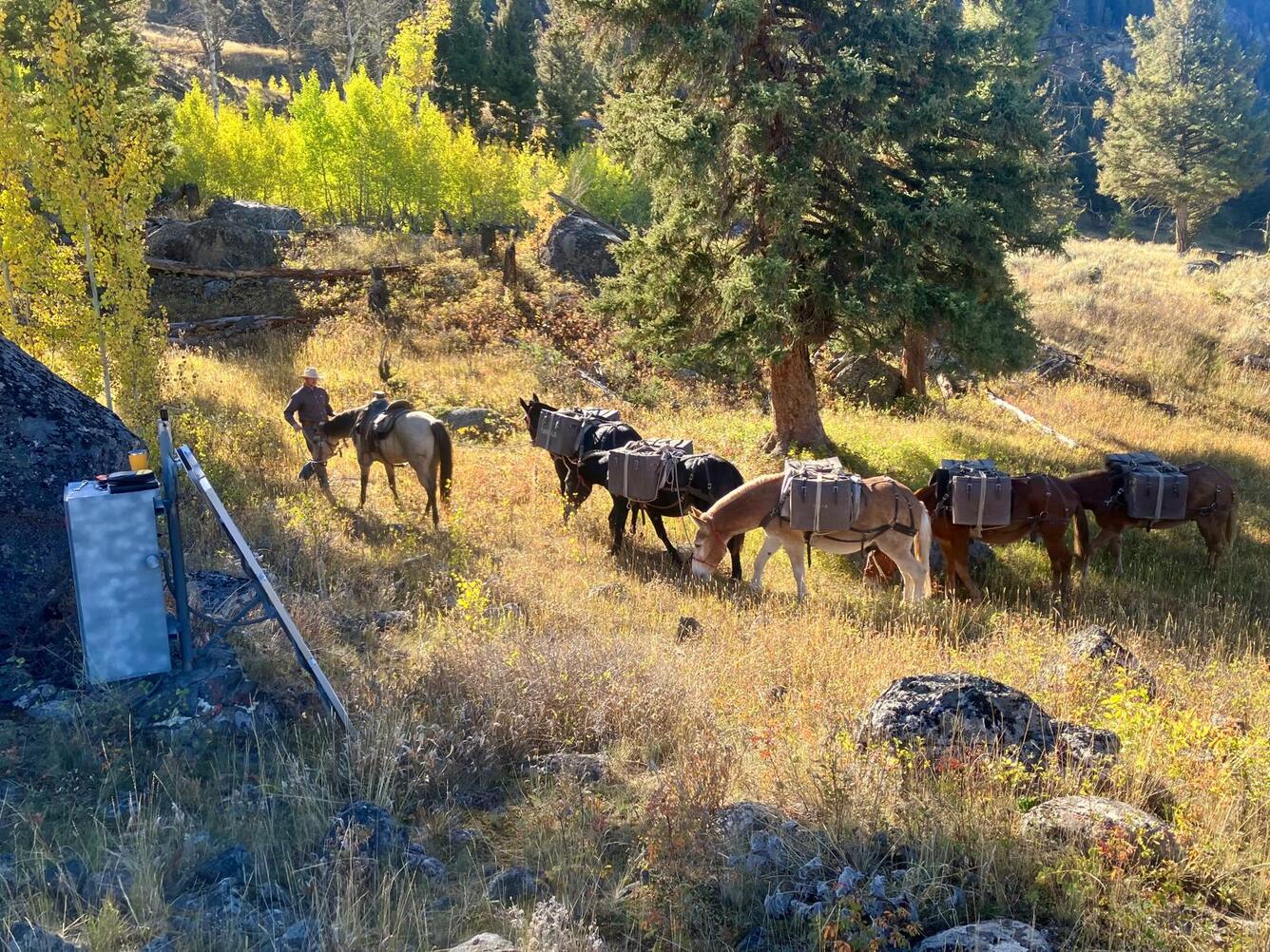
Horseback: Horses make fast work of the heavy loads that must be transported to distant sites, such as the GPS station at Slough Creek (P720), which required some maintenance work in 2025. On that mission, horses transported over 800 pounds of batteries. This “horsepower” assured that the site would remain operational day and night, summer and winter, for another decade to come.
Even when the terrain is rough, the weather is bad, or the site is along the road less traveled (or no road at all!), field engineers work tirelessly to make sure that geological activity at Yellowstone is closely and continuously monitored. Be it via horseback, helicopter, boat, snowmobile, skis, or on foot, equipment travels great distances to ensure that the monitoring network remains operational.