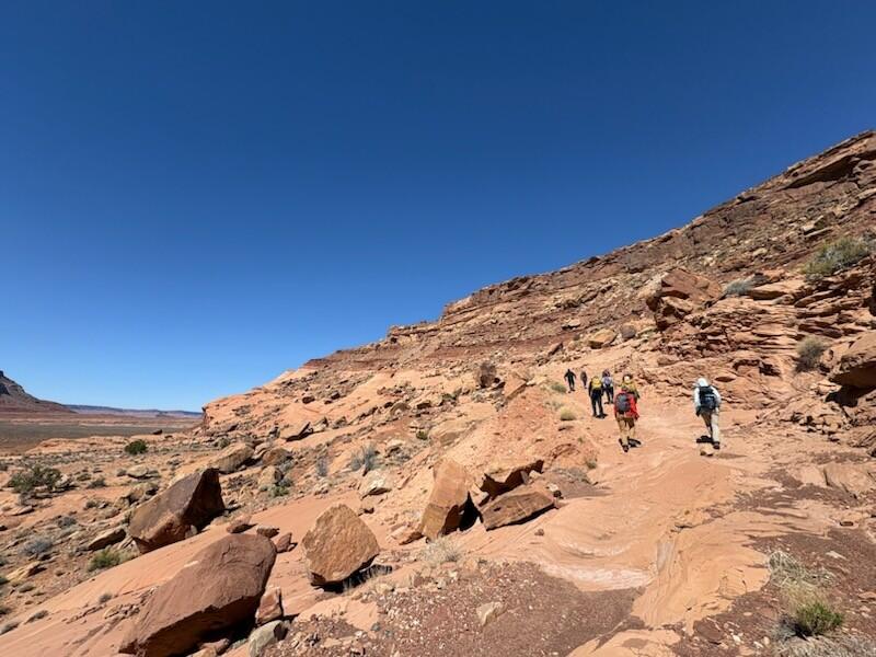
As part of a groundbreaking STATEMAP project, the Utah Geological Survey recently published the geologic map of the Oljeto 7.5-minute quadrangle in collaboration with the Navajo Nation.
Funded through the STATEMAP component of the National Cooperative Geologic Mapping Program (NCGMP), this geologic mapping work supports Navajo Nation needs to better understand the relationship between regional geology and groundwater supply.
An outcome of the geologic partnership between the Utah Geological Survey and the Navajo Nation, the benchmark Oljeto 7.5' quadrangle map is the first-ever publication funded under the STATEMAP component of the NCGMP in direct response to Tribal Nation science needs. This collaboration demonstrates a proven model for STATEMAP partners conducting geologic mapping work in areas of Tribal Nation interest.