
2024 Elk Fire Postfire Flooding and Debris Flows
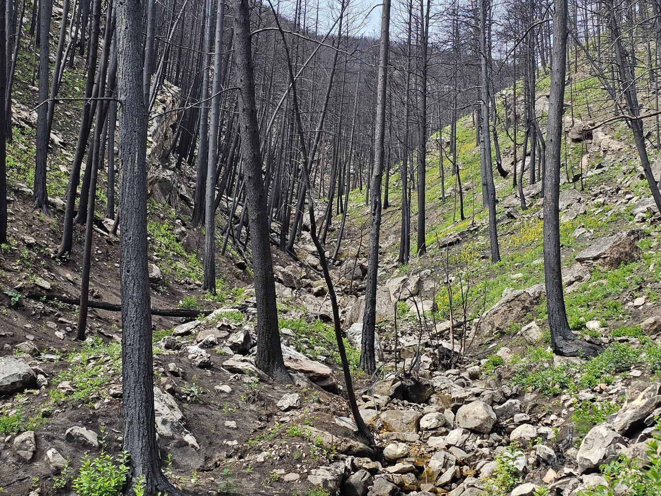
Wildfires affect hundreds of thousands of acres across the western United States every year. When vegetation such as trees, grasses and shrubs burn, the landscape loses important plant cover, and soil can become water repellent. These changes make burned areas particularly vulnerable to flash floods and debris flows for several years following the fire.
The U.S. Geological Survey (USGS) evaluates postfire debris-flow hazard to help identify areas with the greatest risk. In some locations, USGS scientists install monitoring equipment to record how rainfall interacts with the burned landscape.
In the early fall 2024, the Elk Fire burned nearly 100,000 acres along the eastern edge of the Bighorn Mountains in Wyoming’s Bighorn National Forest. Less than one year later, on the evening of July 15, 2025, thunderstorms swept across the burned area, triggering floods and debris flows in several steep watersheds.
This geonarrative explores why the Elk Fire left the landscape vulnerable to flooding and debris flows and documents the resulting impacts using maps, videos, and field photographs.