



Upper Mississippi River Land Cover Change (1989-2020) Story Map
July 9, 2026
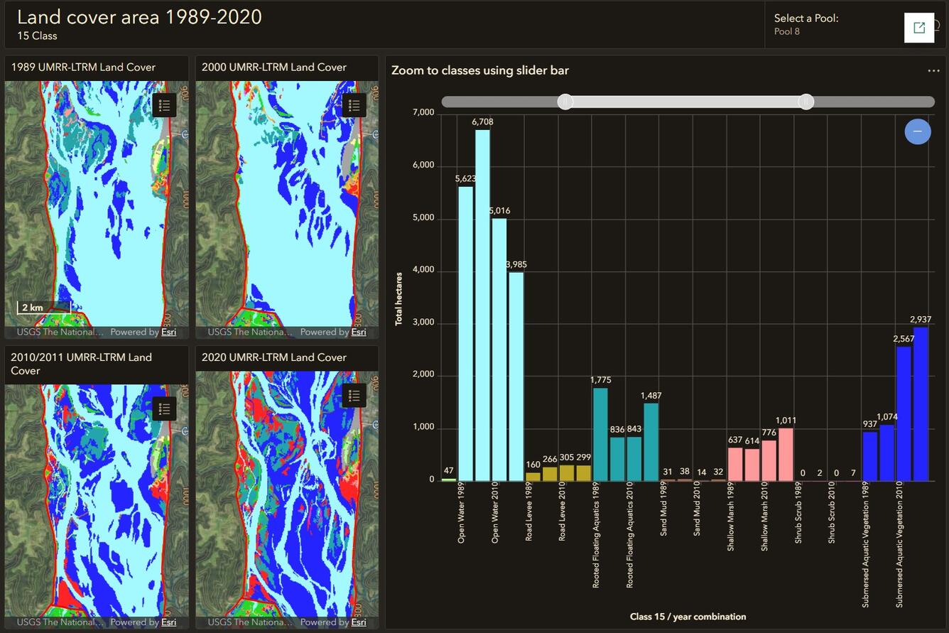
This story map highlights the most prevalent changes in land cover and vegetation in the Upper Mississippi River System from 1989-2020. Changes in the abundance and distribution of land cover and vegetation types is a primary concern of resource managers because such changes influence the abundance and quality of habitats offered, along with the biodiversity and productivity of the river system.
Media
Sources/Usage: Public Domain. View Media Details