
Flood Event Viewer
May 10, 2021
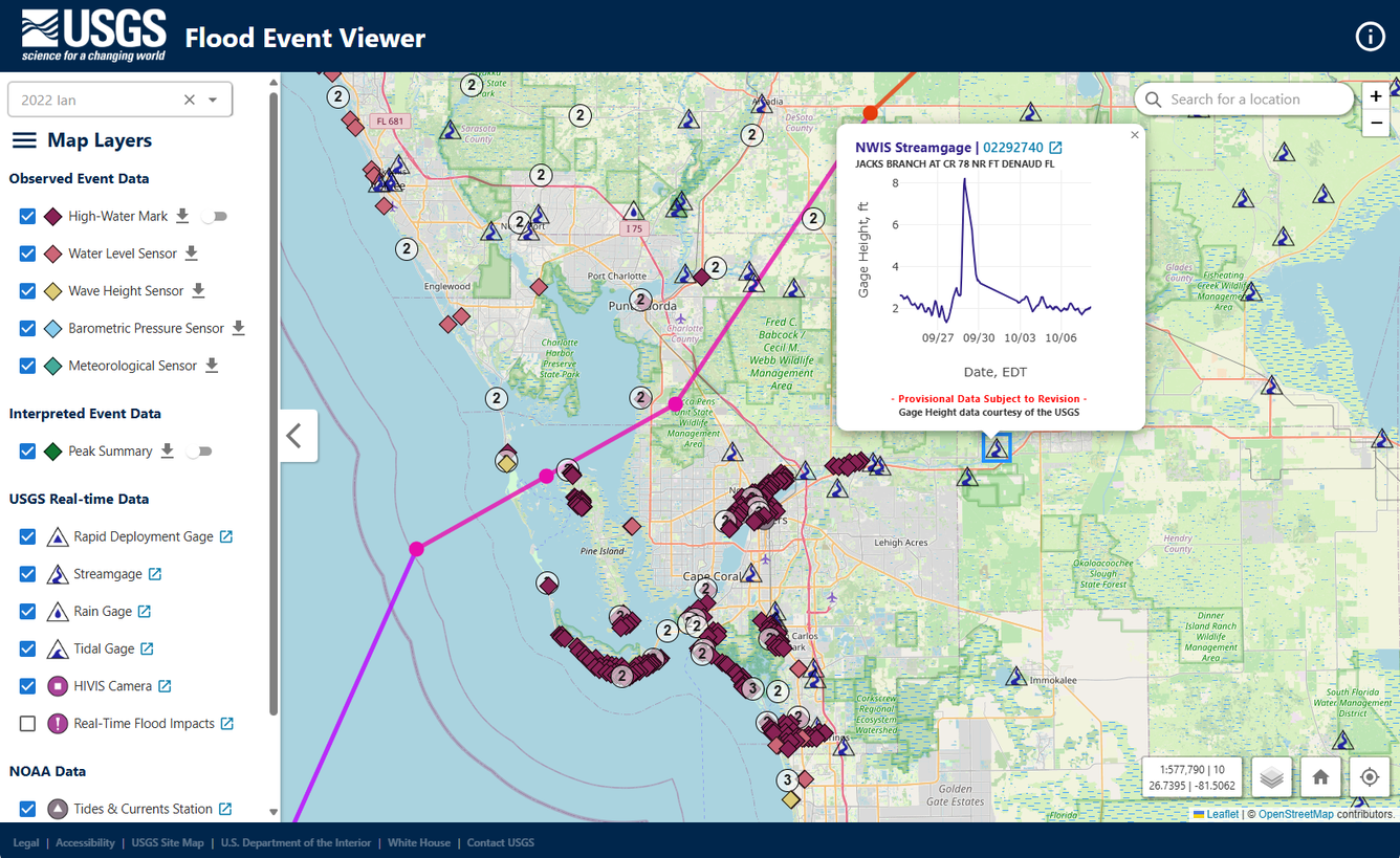
During major storms or other short-term events, the USGS collects streamflow and additional data (including storm tide, wave height, high-water marks, and additional sensor deployments) to aid in documenting flood events. The USGS Flood Event Viewer provides convenient, map-based access to downloadable event-based data.
Media
Sources/Usage: Public Domain. View Media Details
Related

Providing Major Storm and Short-Term Flood Event Data
During major storms or other short-term events, the USGS collects streamflow and additional data to help document high-water events. This data is uploaded to the Short-Term Network (STN) for long-term archival and served out to the public through the Flood Event Viewer (FEV) which provides convenient, map-based access to downloadable event-based data.
Related
Providing Major Storm and Short-Term Flood Event Data
During major storms or other short-term events, the USGS collects streamflow and additional data to help document high-water events. This data is uploaded to the Short-Term Network (STN) for long-term archival and served out to the public through the Flood Event Viewer (FEV) which provides convenient, map-based access to downloadable event-based data.