
Photo and Video Chronology - Kīlauea - August 11, 2019
By Kīlauea
August 11, 2019
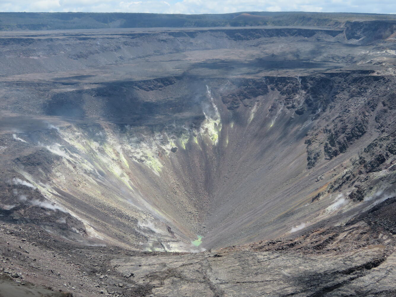
Water at bottom of Halema‘uma‘u continues to rise
Media
Sources/Usage: Public Domain. View Media Details
Media

Sources/Usage: Public Domain. View Media Details
Media

Sources/Usage: Public Domain. View Media Details