U.S. flag

An official website of the United States government

December 3, 2020

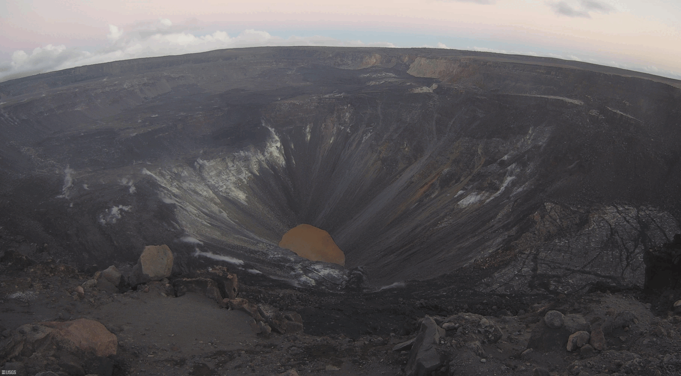
Timelapse showing surface motion of Kīlauea's summit water lake and small rockfalls at Kīlauea summit

This timelapse sequence shows 3.5 hours of activity at the water lake in Halema‘uma‘u crater, at the summit of Kīlauea Volcano. Several influx zones supply groundwater into the lake from the margins, creating shifting color zones on the lake surface. No significant changes have been observed in recent lake activity. USGS video by M. Patrick.

Small rockfalls at Kīlauea summit

Media
Color photograph of volcanic crater lake
KWcam webcam image from December 2 at 6:00 p.m. HST, immediately following a M3.1 earthquake at Kīlauea summit. Several rockfalls down the talus slope impacted the summit water lake, causing some brief localized color changes of the lake surface (circled in yellow).
Media
Animated GIF showing rockfall into crater lake
ANIMATED GIF: At Kīlauea summit, the KWcam webcam recorded several small color changes along the lake margin following rockfalls which impacted the lake surface. These rockfalls immediately followed a M3.1 earthquake Wednesday evening, December 2, at 5:59 p.m. HST. This animated image file (GIF) continuously loops two consecutive webcam images from 5:50 p.m. and 6:00 p.m. showing images from before and after the earthquake. USGS GIF by L. DeSmither.


Was this page helpful?