An official website of the United States government
Here's how you know
Official websites use .gov
A .gov website belongs to an official government organization in the United States.
Secure .gov websites use HTTPS
A lock () or https:// means you’ve safely connected to the .gov website. Share sensitive information only on official, secure websites.
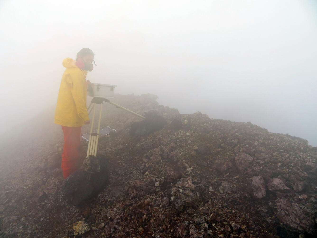
On the south rim of Pu‘u ‘Ō‘ō, on Kīlauea's East Rift Zone, an HVO geologist surrounded by thick steam and gas performs regular upkeep to the west pit time-lapse camera. This camera was relocated again at the end of January due to continued subsidence and instability in its previous location. The camera's field of view encompasses the entire rim of the west pit and the surrounding area (see time-lapse camera images below).
This west pit time-lapse image was taken on February 19 at 6:20 am showing changes in the area since the previous image (taken on January 31). On February 10 at 8:21 am (exact time based on seismic data) a large portion of the northeastern rim of the west pit (right side of glowing pit), collapsed. Prior to and during the rim collapse, the adjacent ground also subsided.
A single image from the time-lapse camera at Pu‘u ‘Ō‘ō, with the spattering lava pond producing a bright glow from within the west pit (center of photo). This image was taken on January 31 at 6:15 am, just a few hours after the lunar eclipse ended (moon visible in the upper left corner).