An official website of the United States government
Here's how you know
Official websites use .gov
A .gov website belongs to an official government organization in the United States.
Secure .gov websites use HTTPS
A lock () or https:// means you’ve safely connected to the .gov website. Share sensitive information only on official, secure websites.
The USGS Unoccupied Aircraft Systems (UAS) team conducted a flight on Kīlauea Volcano's lower East Rift Zone to collect video in the upper lava channel of fissure 8. When it is dark the incandescence (glow) of lava is easy to see against the darkened surroundings. Overnight UAS missions are the most efficient way for geologists to observe the lava channel to identify overflows and breaches of the channel. Scientists also use the video to assess lava flow velocities, which are measured by tracking surface features in the stationary video view. Using UAS for this type of investigation has many advantages because the aircraft can hover above hazardous areas and it utilizes stabilized gimbals and mounts so that the video captured by onboard HD cameras is steady and smooth. Information obtained from this mission was relayed to Hawai‘i County emergency officials to aid in issuing emergency alerts and notices about the timing of evacuations. Video by the U.S. Geological Survey and Office of Aviation Services, Department of the Interior, with support from the Hawaiian Volcano Observatory.
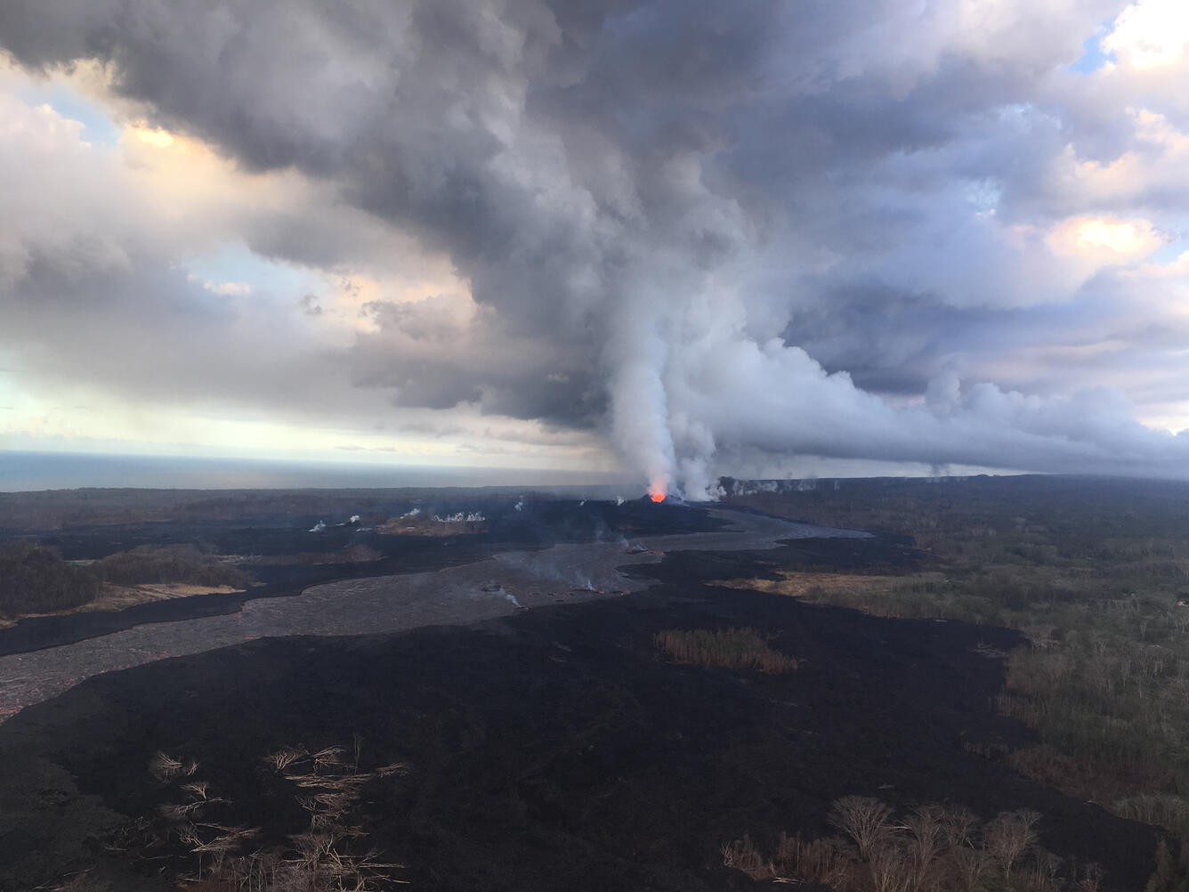
Eruption continues in Kīlauea Volcano's Lower East Rift Zone
Fissure 8 and the proximal lava flow channel on the morning of June 29. Low fountaining within the cone is still producing a vigorous supply of lava to the channel.