An official website of the United States government
Here's how you know
Official websites use .gov
A .gov website belongs to an official government organization in the United States.
Secure .gov websites use HTTPS
A lock () or https:// means you’ve safely connected to the .gov website. Share sensitive information only on official, secure websites.
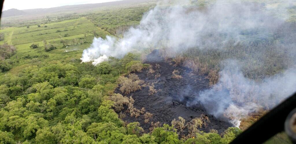
Aerial view of fissure 16 (bottom right) that erupted this morning beginning just before 7:00 a.m. HST. The fissure is located roughly along the alignment of the earlier fissures (steam in top left photo) and 1.3 km (0.8 miles) northeast of fissure 15 and Pohoiki Road. Photograph courtesy of Hawai`i County Fire Department.
At 08:27 a.m. HST, aerial view of fissure 16, located about 1.3 km (0.8 miles) northeast of fissure 15 (top left). The fissure is located 500 m northeast of the Puna Geothermal Venture site (top right). Photograph courtesy of Hawai`i County Fire Department.
At 18:14 HST, received this photo from a Hawaii County Fire Department overflight, showing steaming areas downrift from fissure 16, which developed into fissure 17.
During an overflight on May 11, we collected thermal images of the crater at Pu‘u ‘Ō‘ō and created an updated 3D model of the crater geometry. The collapse on April 30 produced a large cavity, with the deepest point roughly 350 m (1150 feet) below the crater rim.