
Photo and Video Chronology - Kīlauea - September 9, 2019
By Kīlauea
September 9, 2019
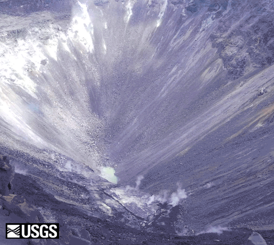
Animated, comparison, and video imagery of the Halema‘uma‘u water pond.
Halema‘uma‘u water pond—animated image file
Media
Sources/Usage: Public Domain. View Media Details
Continued slow rise of water level at bottom of Halema‘uma‘u
Media

Sources/Usage: Public Domain. View Media Details