



Mapping the Potomac: New Model Merges Land and River Depths into One 3D Surface
Integrated topobathymetric digital elevation model published.
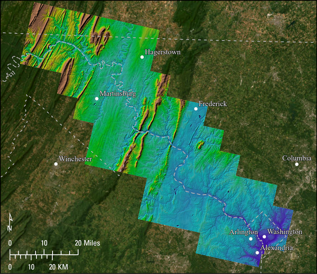
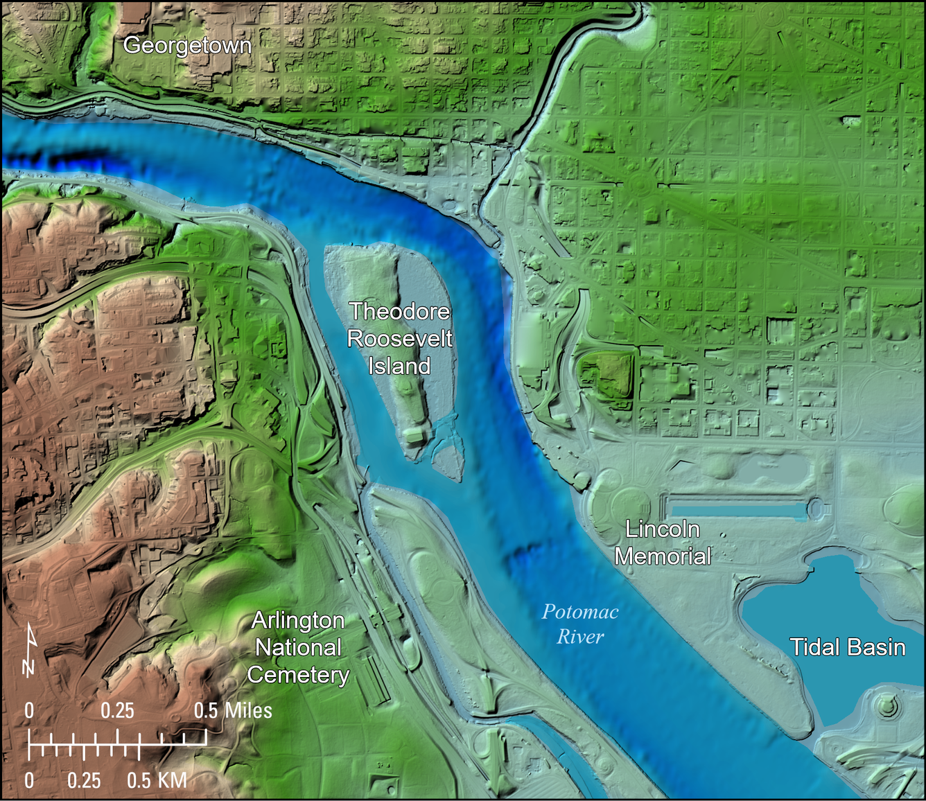
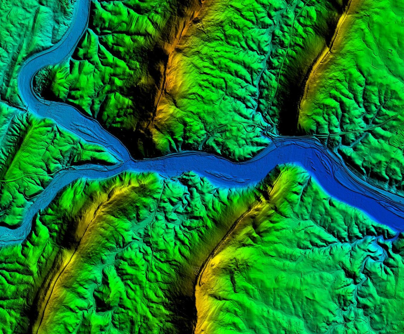
The U.S. Geological Survey (USGS) has released a new integrated digital elevation model (DEM) that, for the first time, maps the Potomac River corridor as one continuous 3D surface, extending from the hills and floodplains above the waterline down through the river channel itself. The Potomac River Pilot Topobathymetric Digital Elevation Model, 1979–2025 covers the river from tidal Washington, D.C., upstream past Hancock, Maryland, and also includes parts of the Anacostia and Shenandoah Rivers, the Tidal Basin, the Pentagon Lagoon, and other tributaries.
Topobathymetric lidar, a technology that uses a green laser to map both land and submerged topography at the same time, was acquired for the Potomac River corridor by USGS and the National Oceanic and Atmospheric Administration (NOAA). USGS scientists combined the topobathymetric lidar with several different elevation datasets including airborne topographic lidar, other topobathymetric lidar datasets, and acoustic bathymetry collected by many different agencies. The result is an analysis-ready seamless 1-meter-resolution DEM based on the most accurate and detailed data source for every location. Metadata accompanies the integrated elevation surface, so all input sources are captured for every 1-meter cell.
How it can be used:
- Drinking water and hazardous spill protection — The model supports the Interstate Commission on the Potomac River Basin in modeling how a chemical or fuel spill would travel downstream, helping protect drinking water for the District of Columbia.
- Flood and floodplain modeling — Accurate underwater channel shape, not just land elevation, is essential for realistic 2D/3D flood simulations and floodplain hazard mapping.
- Fisheries and habitat restoration — Resource managers can identify streambed features, sediment transport patterns, and submerged habitat to guide aquatic habitat restoration in the Potomac watershed.
Engineering and infrastructure — Bridge, dam, and shoreline projects can use one consistent elevation surface for project planning instead of reconciling separate land and underwater surveys.
This inland topobathymetric model was funded by the USGS 3D Elevation Program, part of a broader effort (the 3D National Topography Model) to integrate elevation and river-network data nationwide.
Access the data: Danielson, J.J., Miller-Corbett, C.D., and Thatcher, C.A., 2026, Potomac River Pilot Topobathymetric Digital Elevation Model, 1979 to 2025: U.S. Geological Survey data release, https://doi.org/10.5066/P13BBWDB
Technical specs: 1-meter resolution; horizontal datum UTM Zone 18N, NAD83 (2011); vertical datum NAVD88 (Geoid18); 19 integrated source datasets; produced by the USGS.