



HydroAdd3D
Hydrographic addressing is a powerful way to link observations – flow measurements, water-quality measurements, water intakes and outfalls for example – to the broader hydrographic network. HydroAdd3D makes hydrographic addressing to the 3DHP network available to users without additional software or licensing.
While a traditional x,y coordinate, like latitude/longitude, provides a unique location on the surface of the Earth, it does not indicate whether two observations are on the same network.
Hydrographic addressing uses a unique identifier (a Mainstem-ID, see Mainstems: A logical data model implementing mainstem and drainage basin feature types based on WaterML2 Part 3: HY Features concepts - ScienceDirect) and either a measure or an elevation value to create a unique location coordinate on the stream network. This function was previously met by the Hydrography Event Management Tool and more recently by the HydroAdd tool for NHD which were self-contained and required software installation on the user’s computer.
HydroAdd3D is more open and does not require specialized software or licensing. The system is based on the HydroAdd3D API, which accepts both individual URL requests and batches of requests in JSON format. Documentation is available on the API website.
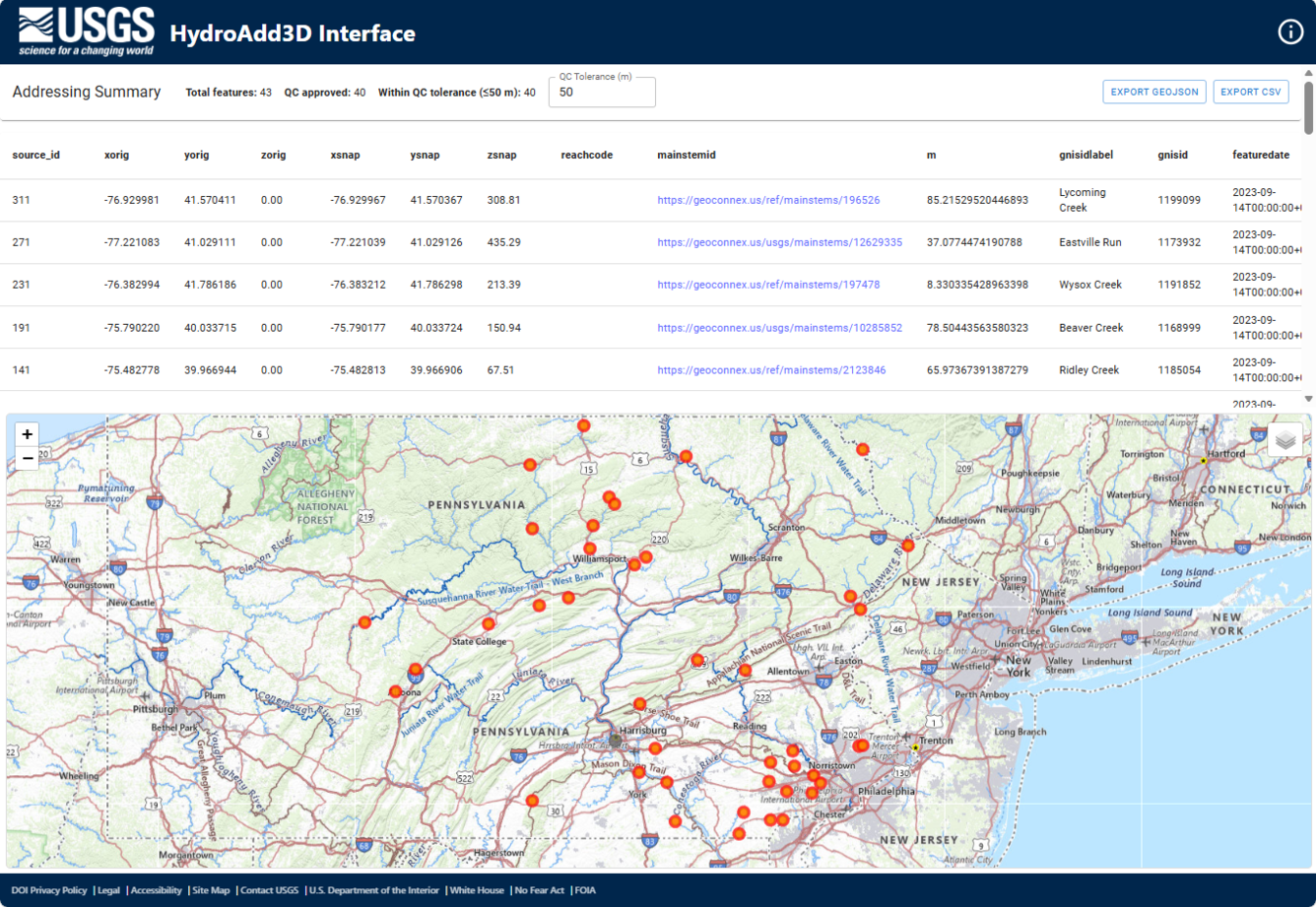
The USGS has also produced a lightweight web interface that allows a user to upload x,y coordinates in .CSV format (perhaps collected in the field with a GPS or off a map), match those coordinates to the stream network, review the match results in a graphic web interface, and download the match results.
Currently HydroAdd3D only works in point mode. Line addressing (identifying network paths between two points) will be developed in the future.