



3D National Topography Model (3DNTM) Project Lifecycle & Milestones
The 3DNTM brings together nationwide elevation and hydrography data into a unified framework that supports modern mapping, scientific analysis, and decision‑making. The project lifecycle below outlines how 3DEP and 3DHP data acquisitions progress from early partnership development through data publication to become part of the integrated 3DNTM.
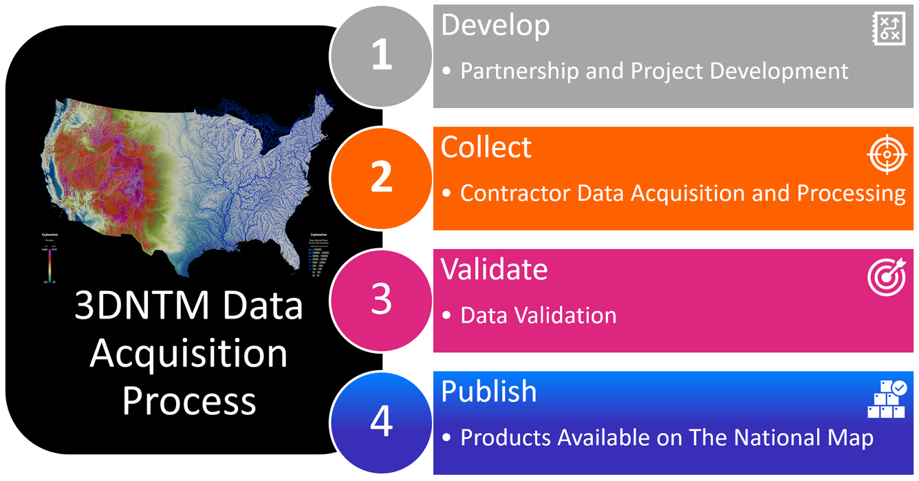
The 3D Elevation Program (3DEP) and 3D Hydrography Program (3DHP) acquire geospatial data to support the 3D National Topography Model (3DNTM). Each data acquisition project consists of multiple Work Units (smaller parts of a project) which move through four main stages at variable rates:
- Partnership and Project Development: The collaborative effort to develop a project, coordinate and finalize funding agreements, and award the task to a data provider, commonly to a private mapping contractor through the USGS Geospatial Products and Services Contracts.
- Contractor Data Acquisition and Processing: Data collection and processing by the data provider.
- Data Validation: After the data is delivered to USGS for review, USGS assesses each Work Unit to ensure the data meet the required specifications. Corrections are requested if needed and cycles repeat until specifications are met. For 3DEP, a project’s Work Units will not be completely accepted as meeting specifications until all the Work Units have been verified and final vertical accuracy checks are complete for the project.
- Products Available on The National Map (TNM): For 3DEP, source products (lidar point clouds and original product resolution DEMs) are published as Work Units complete validation. Derived products (standard 1-meter, 1/3 arc-second, and 1 arc-second seamless digital elevation models) are published after all Work Units are validated and accuracy checks are complete. For 3DHP, the final elevation-derived hydrography is ingested into the 3DHP database where names and identifiers are added, catchments are generated, and flow network derivatives are calculated.
The 3DNTM Tracker shares information about the status and timelines of geospatial data acquisition projects as they progress through these milestones. The Tracker currently focuses on 3D Elevation Program (3DEP) lidar projects, with the potential to expand coverage to hydrography projects.