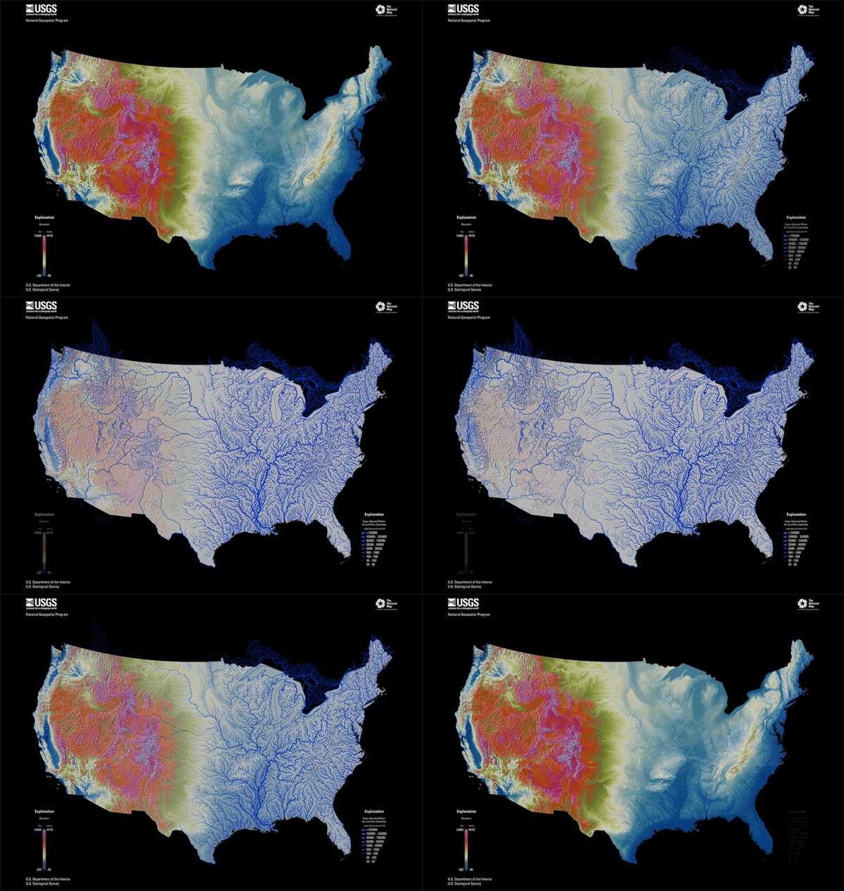
CONUS elevation map in bright, vibrant colors with purple as highest elevation and blue as lowest elevation and the hydrography map with larger annual flow volumes as thicker lines.
Multimedia
3D National Topography Model multimedia.
Images
CONUS elevation map in bright, vibrant colors with purple as highest elevation and blue as lowest elevation and the hydrography map with larger annual flow volumes as thicker lines.
Potential Annual Benefits by Business Use Type for Elevation and Hydrography Data if all needs are met.
Potential Annual Benefits by Business Use Type for Elevation and Hydrography Data if all needs are met.
This map of the United States and its territories shows geographic extent of the first-ever nationally consistent hydrography data acquired from high-resolution 3D Elevation Program (3DEP) data.
This map of the United States and its territories shows geographic extent of the first-ever nationally consistent hydrography data acquired from high-resolution 3D Elevation Program (3DEP) data.
This map of the United States and its territories shows geographic extent of completion of the first-ever national baseline of consistent high-resolution elevation data - both bare earth and 3D point clouds.
This map of the United States and its territories shows geographic extent of completion of the first-ever national baseline of consistent high-resolution elevation data - both bare earth and 3D point clouds.

3DHP Figure 3 3D National Topography Model visualization
3DHP Figure 3 3D National Topography Model visualization3D terrain profile visualizes the surface elevations and hydrologic features along a horizontal plane.
3DHP Figure 3 3D National Topography Model visualization
3DHP Figure 3 3D National Topography Model visualization3D terrain profile visualizes the surface elevations and hydrologic features along a horizontal plane.


