



Metallogeny and Framework Geology of the Kuskokwim Region, Southwest, Alaska
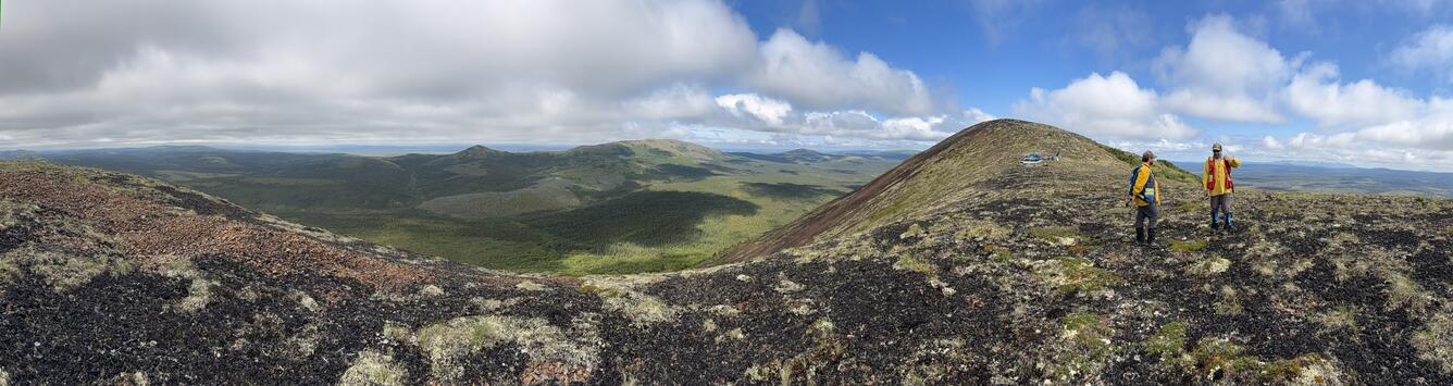
The Kuskokwim region of southwest Alaska hosts a diverse suite of mineral systems with significant potential for critical minerals, base metals, and precious metals. The area covers roughly 200,000 km² from Manley Hot Springs southwest to Goodnews Bay and is prospective for more than 30 minerals, including tungsten (W), tin (Sn), arsenic (As), antimony (Sb), copper (Cu), tellurium (Te), gold (Au), and zinc (Zn). Notable deposits in the region include Donlin, Illinois Creek, Nixon Fork, Red Mountain, Sleitat, Red Devil, and the historic placer gold districts of Flat and Iditarod. Despite its high mineral potential, the region has not been comprehensively studied since the late 1970s–1980s and remains one of Alaska’s most under-sampled and data-poor regions in the state.
The U.S. Geological Survey, in partnership with the Alaska Division of Geological & Geophysical Surveys (DGGS) and multiple industry collaborators, is undertaking a multi‑disciplinary effort to develop an updated geologic and metallogenic framework for the Kuskokwim region. This work applies a holistic mineral‑systems approach to understanding regional mineral resources. The project involves new regional‑scale geologic mapping, the acquisition of geophysical, geochemical, geochronological, and thermochronological datasets, and targeted studies of key mineral deposits and mineralized districts.
Framework Geology
Contact: Doug Kreiner and Rob McDermott
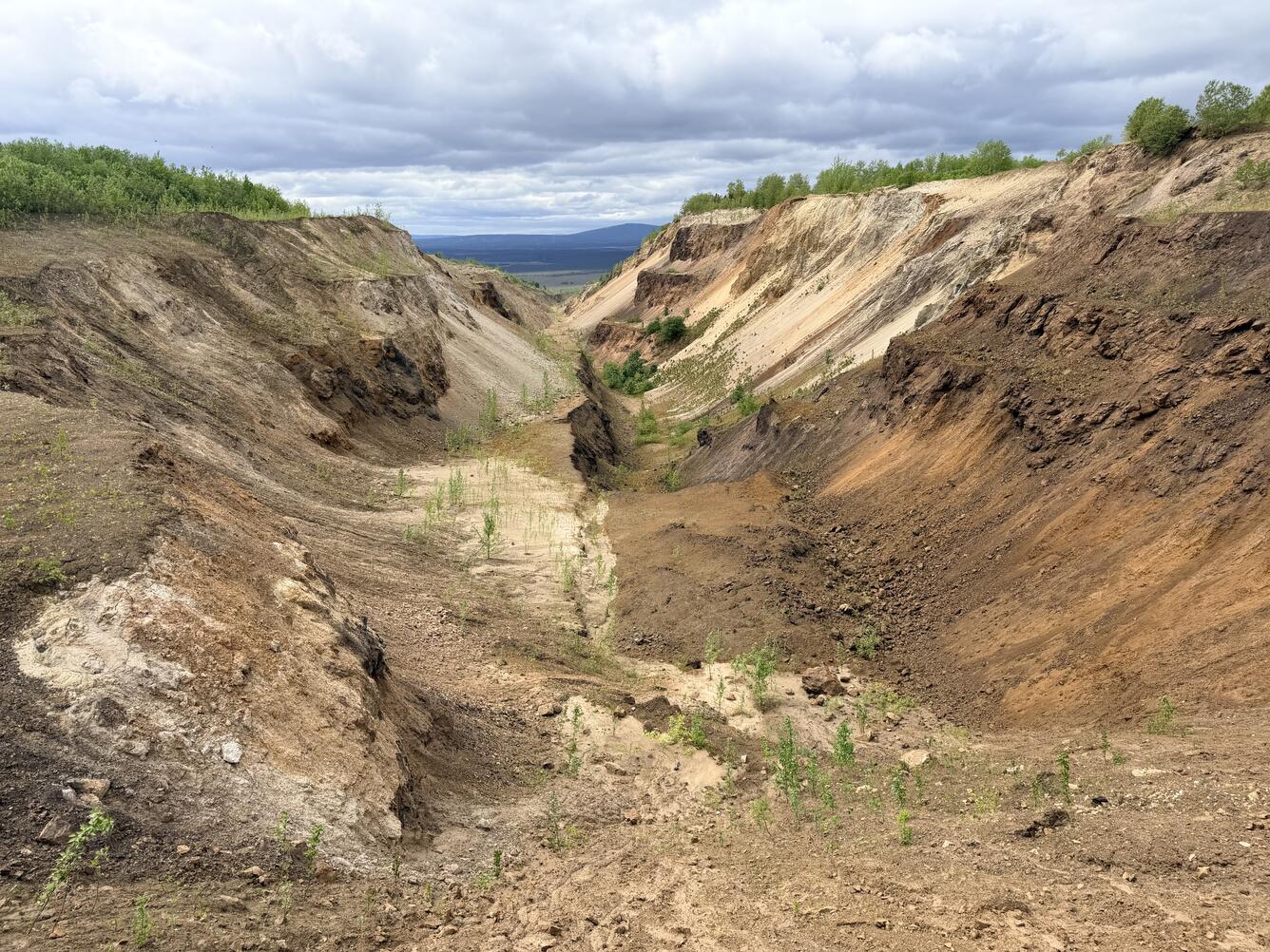
Framework geology efforts focus on developing a detailed understanding of the region’s bedrock architecture, magmatic history, and structural evolution as they relate to mineral resources. Current work involves collecting new field observations and updating regional geologic maps, generating whole‑rock geochemistry from both new and legacy samples, conducting geochronological analyses such as zircon U‑Pb on magmatic, volcanic, and sedimentary rocks, performing structural analyses and low‑temperature thermochronology, and mapping surficial geology with the addition of cosmogenic nuclide dating. Together, these datasets will help clarify the timing and nature of movement along major regional fault systems (e.g., Iditarod-Nixon Fork, Kaltag, and Denali faults) from Cretaceous to present-day.
Metallogenic Framework Studies
Contact: Doug Kreiner
The Kuskokwim River region played a significant role in the Alaska Gold Rush with the discovery of the placer resources on the Otter and Flat Creeks in the Iditarod District. Continued lode exploration has identified numerous critical, base, and precious metals. Although major deposits such as Donlin—one of the largest undeveloped gold resources in the world—are well documented, the bedrock lode sources for these historic placer districts remain poorly understood and still debated.
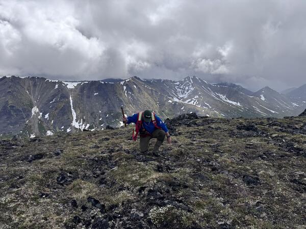
Metallogenic framework studies integrate focused deposit investigations with regional mapping to understand key components of mineral systems, including the sources of mineralizing fluids and metals, the nature of metallogenic traps, and the processes governing the formation and preservation of mineral deposits. By combining new geochronology and geochemistry with detailed analyses of placer gold chemistry, alongside field observations and mapping, these studies aim to improve assessments of mineral prospectivity and advance understanding of important mineral resources across the region.
Geochemical and Isotopic Mapping
Contact: Rob McDermott
Extensive vegetation and swamp cover across the Kuskokwim region limits the ability to directly sample and characterize the diverse tectonic and magmatic domains that may host different mineral systems. To address these challenges, current work focuses on analyzing trace element and radiogenic isotope signatures, including geochronologic data preserved in ore‑ and rock‑forming minerals found within regionally derived sediments. These detrital and indicator minerals retain key petrogenetic information that help to reconstruct geologic histories. Geochemical and isotopic interpretations from these sediment-hosted minerals are then grounded in parallel studies from the limited bedrock and lode source samples, ensuring that mineral signatures can be accurately linked back to their geologic origins.
Geophysical Interpretation
Contact: Jacob Murchek
Geophysical interpretation in the Kuskokwim region centers on acquiring new airborne magnetic and radiometric surveys and integrating these datasets with existing geophysical data. Conducted in collaboration with the Alaska Division of Geological and Geophysical Surveys (DGGS) and funded through the Mineral Resources Earth Mapping Resources Initiative (EarthMRI), this work improves understanding of distinct magmatic suites and their structural settings. These geophysical datasets help refine geologic mapping, support mineral systems analysis, and guide broader regional framework studies. Upcoming efforts include the planned acquisition of high‑resolution LiDAR data along the Iditarod–Nixon Fork fault corridor.
The Kuskokwim region of southwest Alaska hosts a diverse suite of mineral systems with significant potential for critical minerals, base metals, and precious metals. The area covers roughly 200,000 km² from Manley Hot Springs southwest to Goodnews Bay and is prospective for more than 30 minerals, including tungsten (W), tin (Sn), arsenic (As), antimony (Sb), copper (Cu), tellurium (Te), gold (Au), and zinc (Zn). Notable deposits in the region include Donlin, Illinois Creek, Nixon Fork, Red Mountain, Sleitat, Red Devil, and the historic placer gold districts of Flat and Iditarod. Despite its high mineral potential, the region has not been comprehensively studied since the late 1970s–1980s and remains one of Alaska’s most under-sampled and data-poor regions in the state.
The U.S. Geological Survey, in partnership with the Alaska Division of Geological & Geophysical Surveys (DGGS) and multiple industry collaborators, is undertaking a multi‑disciplinary effort to develop an updated geologic and metallogenic framework for the Kuskokwim region. This work applies a holistic mineral‑systems approach to understanding regional mineral resources. The project involves new regional‑scale geologic mapping, the acquisition of geophysical, geochemical, geochronological, and thermochronological datasets, and targeted studies of key mineral deposits and mineralized districts.
Framework Geology
Contact: Doug Kreiner and Rob McDermott
Framework geology efforts focus on developing a detailed understanding of the region’s bedrock architecture, magmatic history, and structural evolution as they relate to mineral resources. Current work involves collecting new field observations and updating regional geologic maps, generating whole‑rock geochemistry from both new and legacy samples, conducting geochronological analyses such as zircon U‑Pb on magmatic, volcanic, and sedimentary rocks, performing structural analyses and low‑temperature thermochronology, and mapping surficial geology with the addition of cosmogenic nuclide dating. Together, these datasets will help clarify the timing and nature of movement along major regional fault systems (e.g., Iditarod-Nixon Fork, Kaltag, and Denali faults) from Cretaceous to present-day.
Metallogenic Framework Studies
Contact: Doug Kreiner
The Kuskokwim River region played a significant role in the Alaska Gold Rush with the discovery of the placer resources on the Otter and Flat Creeks in the Iditarod District. Continued lode exploration has identified numerous critical, base, and precious metals. Although major deposits such as Donlin—one of the largest undeveloped gold resources in the world—are well documented, the bedrock lode sources for these historic placer districts remain poorly understood and still debated.
Metallogenic framework studies integrate focused deposit investigations with regional mapping to understand key components of mineral systems, including the sources of mineralizing fluids and metals, the nature of metallogenic traps, and the processes governing the formation and preservation of mineral deposits. By combining new geochronology and geochemistry with detailed analyses of placer gold chemistry, alongside field observations and mapping, these studies aim to improve assessments of mineral prospectivity and advance understanding of important mineral resources across the region.
Geochemical and Isotopic Mapping
Contact: Rob McDermott
Extensive vegetation and swamp cover across the Kuskokwim region limits the ability to directly sample and characterize the diverse tectonic and magmatic domains that may host different mineral systems. To address these challenges, current work focuses on analyzing trace element and radiogenic isotope signatures, including geochronologic data preserved in ore‑ and rock‑forming minerals found within regionally derived sediments. These detrital and indicator minerals retain key petrogenetic information that help to reconstruct geologic histories. Geochemical and isotopic interpretations from these sediment-hosted minerals are then grounded in parallel studies from the limited bedrock and lode source samples, ensuring that mineral signatures can be accurately linked back to their geologic origins.
Geophysical Interpretation
Contact: Jacob Murchek
Geophysical interpretation in the Kuskokwim region centers on acquiring new airborne magnetic and radiometric surveys and integrating these datasets with existing geophysical data. Conducted in collaboration with the Alaska Division of Geological and Geophysical Surveys (DGGS) and funded through the Mineral Resources Earth Mapping Resources Initiative (EarthMRI), this work improves understanding of distinct magmatic suites and their structural settings. These geophysical datasets help refine geologic mapping, support mineral systems analysis, and guide broader regional framework studies. Upcoming efforts include the planned acquisition of high‑resolution LiDAR data along the Iditarod–Nixon Fork fault corridor.