



Happy International Moon Day!
Join us in celebration of International Moon Day held on July 20, marking the anniversary of the first human landing on the Moon during Apollo 11 in 1969. Our nearest neighbor has made headlines for over 50 years, and still serves as an analog for our present and future pursuit of new knowledge of our Solar System.
While we didn’t propose International Moon Day, see Moon Village Association (MVA), we find it an additional avenue to engage our Science, Technology, Engineering and Mathematic efforts. This is in addition to our USGS mission to serve the Nation, the international planetary science community, and the public. With gratitude, we are happy to share International Moon Day and with hopes all are enjoying theirs.
Our Past Moon Work:
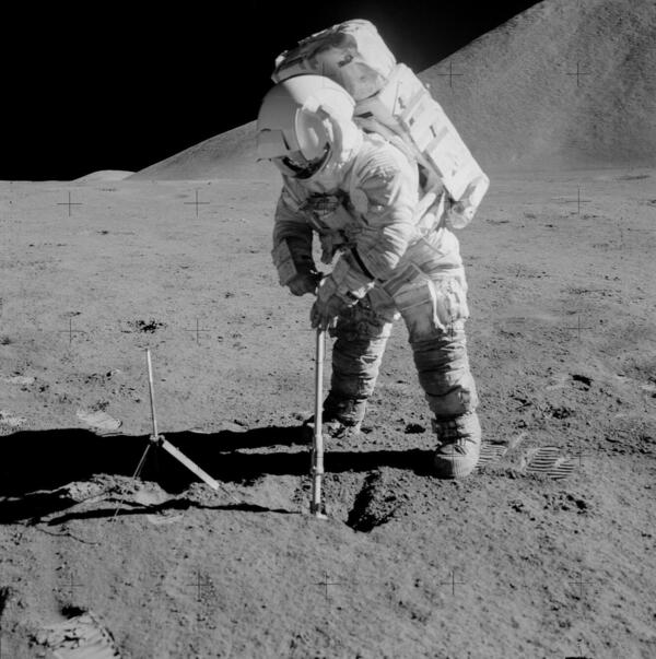
USGS Astrogeology contributed significantly to NASA’s Apollo program and has a rich history, originating with our founder Dr. Eugene Merle Shoemaker (aka Gene Shoemaker). Many Astrogeologists were known to work for and with the USGS Branch of Astrogeology during Apollo and beyond.
Our overarching collective services included creating detailed maps, helping with landing site selection, providing geologic field training for astronauts, and other cartographic works including image processing and archiving, past work that we still perform today.
Maps and Landing site selection:
USGS Astrogeology’s goal was to prepare detailed maps to help the spacecraft avoid hazardous terrain, like lava channels, large boulders, and craters that would be hazardous to the lunar module being set down in a safe landing spot, and/or the safety of the astronauts’ first steps on the lunar surface for all humankind.
Geologic Field Training:
Gene Shoemaker knew to get the most out of the Apollo missions, the astronauts must learn the language of the stones. Rocks contain information that speaks of the Moon’s origin and more.
Apollo isn’t just a program of the past, we are modernizing the maps, images, and data to give them a new life in lunar research. Anyone can explore and is welcome to peruse our Apollo data products and maps here: Interactive Apollo 15, 16, and 17 Maps Available Now!
Meanwhile, we have continued to provide astronaut training throughout the years, and we plan for the upcoming Artemis missions, with similar concerns about landing sites and mapping that the Apollo science teams faced. Detailed investigations like the ones we performed for Apollo are just as prominent as they were 50 years ago. Artemis IV will land in a region of high geologic interest and variability, which is home to potential water-ice deposits. Due to the proximity to the lunar south pole, the potential Artemis landing sites come with their own set of challenges, including high angle shadows and extremely variable temperature and light conditions.