
USGS Astrogeology at LPSC 2026: Advancing Planetary Science and Collaboration
Insights, Networking, and Scientific Progress at the 56th Lunar and Planetary Science Conference
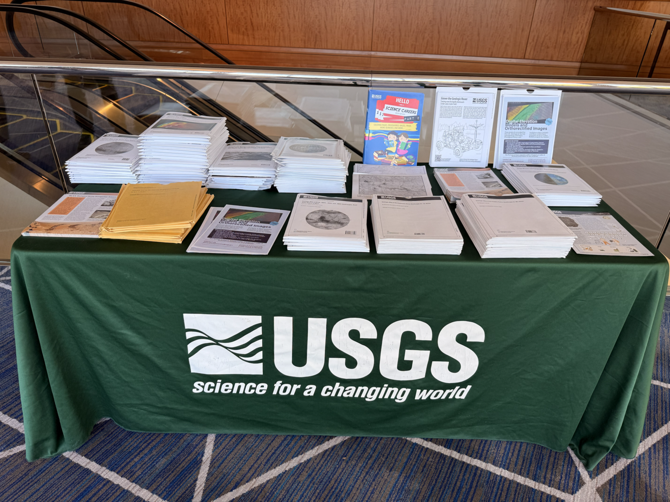
Several USGS Astrogeology Science Center scientists and technicians attended the 56th Lunar and Planetary Science Conference (LPSC) in Texas from March 10–14, 2026, for professional development and to share their expertise in planetary science.
Significance of LPSC
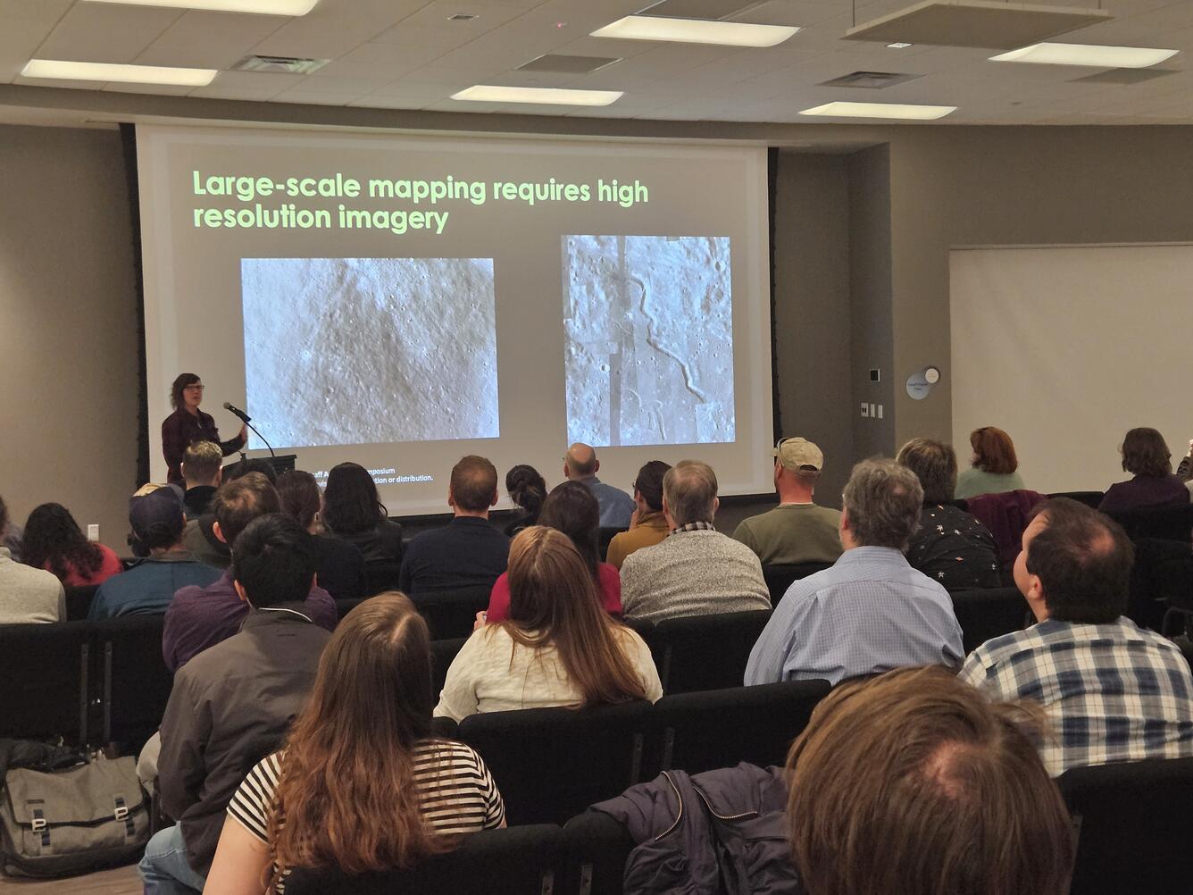
The Lunar and Planetary Science Conference (LPSC) has served as a critical opportunity for dissemination and collaboration by USGS Astrogeology Science Center’s (ASC) scientists for decades. The week-long conference brings together diverse groups of international experts, fostering a truly collaborative environment for advancing lunar and planetary science. ASC’s attendees participate to hear about others’ latest scientific findings, and to share their own, helping to drive innovation and progress in the field.
Community and Contributions
First authors had the opportunity to submit up to two abstracts, but only one would be considered for oral presentation. It was required that presenters be listed among the first five authors on any submission. Lastly, all abstracts were strictly limited to two pages in length, ensuring concise and focused scientific communication.
USGS Astrogeology personnel submitted at least 12 abstracts and gave 10 presentations at the conference; however, they were also co-authors on others’ submissions.
Perspectives from LPSC 2026 Attendees
We want to let our followers know that links are included to help explore topics of interest in greater depth. Our aim is simply to share our activities at the conference, not to promote or endorse any particular event.
Rachel Fry's (Physical Scientist Technican) highlight from the conference was learning about Artemis II, especially the astronaut training for describing the lunar surface and the tools they will use. Rachel notes that “Understanding how the astronauts use maps and what their needs are will help us improve those map products for future use!”
Rachel delivered an oral presentation titled Standardizing Impact Crater Representation on Planetary Geologic Maps, in which she provided an update to the community on efforts to develop a recommended schema for the cartographic representation of impact craters on planetary geologic maps.
In addition to her oral presentation, Rachel shared a poster titled Thermophysical Map Products for the Lunar Mapping Program (LMAP), which detailed innovative mapping techniques used to analyze lunar surface properties. This poster is noteworthy because it highlights Rachel's contributions to advancing lunar cartography, offering new tools and insights that support future exploration and scientific research of the Moon.
Kelvin Rodriguez (Supervisory Computer Scientist) described the event as highly valuable: “Networking with people who use our tools directly made conversations much more practical. Meeting Intuitive Machines in person helped resolve some long-standing issues in ShadowCam, an advanced imaging project. Overall, it was productive and worthwhile.”
Christine Kim (Computer Scientist), Kelvin Rodriguez (Supervisory Computer Scientist), and Adam Pacquette (Computer Scientist) represented the software team and shared updates about USGS’s Integrated Software for Imagers and Spectrometers (ISIS), highlighting Improvements to the ISIS Bundle Adjustment System, namely the jigsaw application, which is highly beneficial to cartographer’s work.
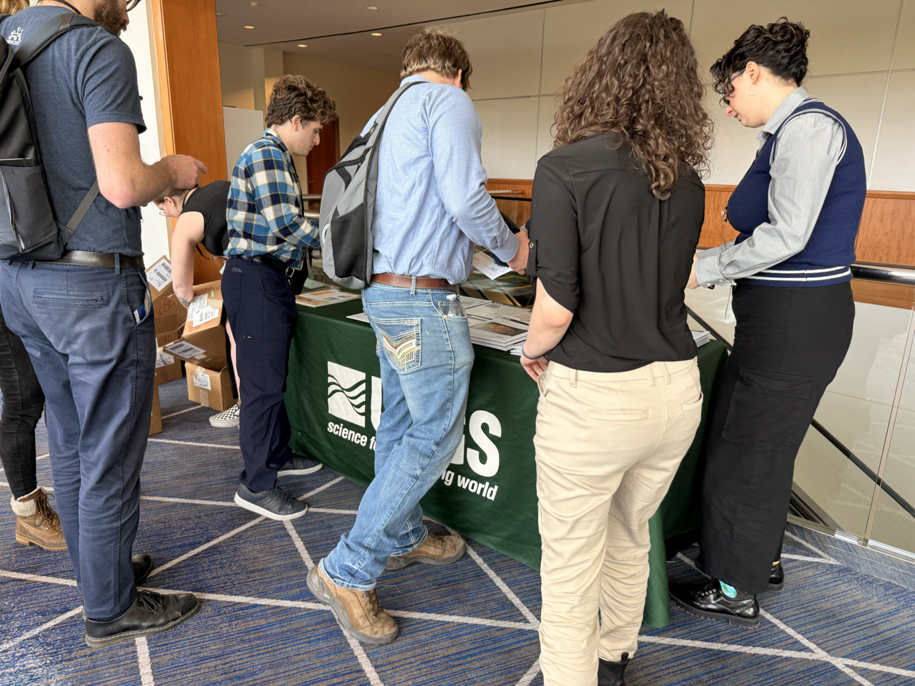
Sonya Bogle (Geographer) said, “The USGS-NASA Planetary Geologic Mapping Program (PGM) facilitates, publishes, and distributes maps for the planetary science community, and gives out maps at LPSC yearly—this year's efforts to keep pace with requests were truly impressive, highlighting the popularity and necessity of these resources at the event.”
Additionally, Sonya reported the following from the meeting:
- Jim Skinner (Supervisory Geologist) gave a talk highlighting work on the Lunar Mapping Program (LMAP) and Geology-Derived Supportive Mapping Products in LMAP: Landscape, Impact Craters, and Slope Characterization. LMAP is a NASA-funded, USGS-led pilot effort designed to produce new lunar geologic maps and, critically, to test how geologic mapping should be conducted, structured, and communicated when scientific synthesis is pursued alongside explicit exploration-relevant objectives.
- Corey Fortezzo (Research Geologist) discussed research on maps suitable for the colorblind—not only will this fresh idea improve accessibility for the colorblind, this will also make maps clearer for everyone. Learn more about the Updates to Improving Color Vision Accessibility Through USGS Map Recolorization. Sonya also highlighted the relevance of Astro's historic data for future mission planning.
As humans prepare to establish a more prominent presence on the Moon and Mars, research into water and ice (resources) on those planets has become increasingly relevant.
Dr. Colin Dundas: (Research Geologist) presented on observations of a Martian landform descriptively and aptly named "Brain Terrain". Colin said, “This terrain appears to indicate current or past water ice, but the way that it forms has been debated. Our work has shown that it is actually two separate landforms, one of which appears to depend on the other, and both of which are related to ice but potentially in different ways. This sort of study is useful for determining the history of water.” The abstract is Stratigraphic Observations of Martian "Brain Terrain" and Implications for Origin Processes.
Dr. Laszlo Keszthelyi (Research Geologist) discussed . . . future lunar resource exploration, emphasizing what new measurements are needed to prospect for economically viable materials. “The key is observing from the surface, for example, with NASA's VIPER rover,” he said. In addition, Laszlo presented the Benefits of Tandem Exploration of the Moon and Io, considering how investigating the volcanically active moon of Jupiter can help us better understand how our Moon behaved when it was more geologically active in the past.
Brent Archinal and Trent Hare (both now Emeriti) were coauthors on poster presentations about the lunar grid reference system developed by USGS for use by Artemis astronauts when doing lunar surface navigation. These presentations were led by former USGS Astrogeology Science Center and now National Geodetic Survey employee Mark McClernan, lead author for Standarized Map Projections for the Arttemis missions and Lunar Navigation.
Melody Hartke (Technical Information Specialist) represented the Planetary Data System (PDS), NASA's long-term data archives, by staffing the PDS Exhibitor Booth and presenting a poster that detailed the software tools and technical services provided to the public by the PDS Cartography and Imaging Sciences Node, which are essential to planetary science workflows. The featured abstract is titled The Cartography and Imaging Sciences Node of NASA's Planetary Data System.
The 56th Lunar and Planetary Science Conference highlighted the USGS Astrogeology Science Center's leadership in planetary science. Ongoing research, resource development, and global collaboration advances lunar and planetary exploration. As new missions to the Moon, Mars, and beyond take shape, discoveries and discussions will guide future scientists and emphasize the importance of teamwork and innovation in understanding our universe.