
Task 3 - Geologic Mapping of the (other) Non-Coalition Glaciated States
The area encompassed by Task 3 comprises the non-coalition (other) states within the glaciated region, including Montana, North Dakota, South Dakota, Iowa, Kansas, Missouri, Nebraska, and New Jersey. The primary objective of Task 3 is to continue the compilation of existing and create new 1:500,000-scale Quaternary geologic maps for the region, and to conduct new 1:24,000-scale mapping in areas of greatest need. As a part of this work, this Task aims to build relationships with the State geological surveys to identify new areas and opportunities for Quaternary geologic mapping.
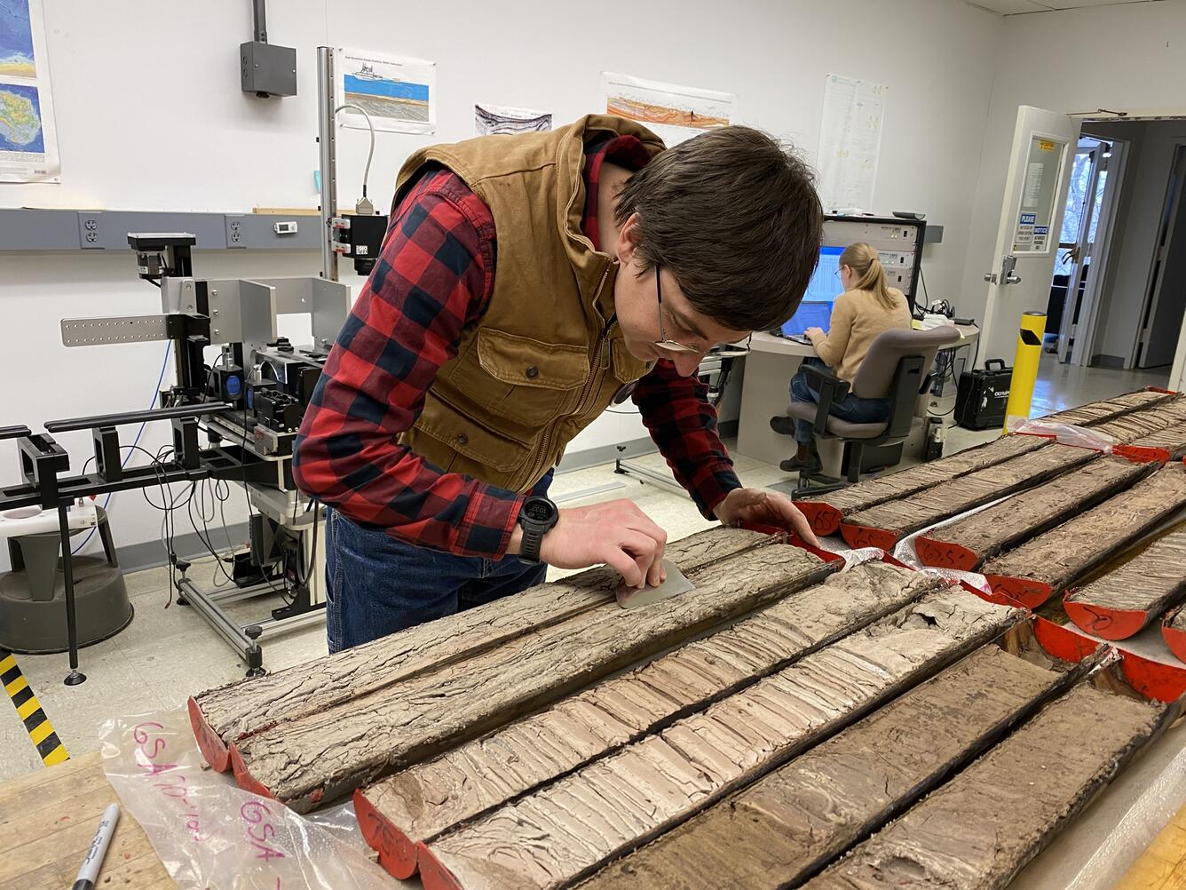
Scientists from the Florence Bascom Geoscience Center perform laboratory work in support of Task 3 of the Quaternary Geologic Mapping of the Glaciated Regions Project
The area encompassed by Task 3 comprises the non-coalition (other) states within the glaciated region, including Montana, North Dakota, South Dakota, Iowa, Kansas, Missouri, Nebraska, and New Jersey. The primary objective of Task 3 is to continue the compilation of existing and create new 1:500,000-scale Quaternary geologic maps for the region, and to conduct new 1:24,000-scale mapping in areas of greatest need. As a part of this work, this Task aims to build relationships with the State geological surveys to identify new areas and opportunities for Quaternary geologic mapping.
Scientists from the Florence Bascom Geoscience Center perform laboratory work in support of Task 3 of the Quaternary Geologic Mapping of the Glaciated Regions Project