
Acadia National Park Stream Crossings Assessed for Erosion Potential, Flood Vulnerability
Acadia National Park has had stronger and more frequent precipitation events in recent years, leading to a rise in high, infrastructure-damaging streamflows (flood flows), stream erosion, and costly impairments to historic carriage roads and trails.
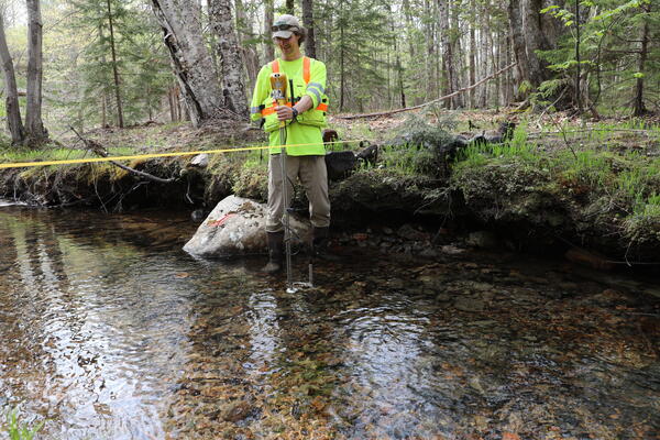
To improve infrastructure management in anticipation of more frequent and intense flooding events, the U.S. Geological Survey (USGS), in cooperation with the National Park Service (NPS), has developed multiple datasets that can help Acadia National Park’s natural resource managers identify the stream reaches and stream crossings (i.e. culverts and bridges) that have the highest potential for erosion and flood damage.
“Overall, these datasets allow users to identify stream reaches with the highest erosion potential and stream crossings that are most vulnerable to flood damage,” said USGS hydrologist and lead author Ian Armstrong. “They also highlight areas where supplemental field assessments could most effectively be completed.”
In addition to the report, USGS and NPS have created an online dashboard that enables users to click on a stream reach or crossing to view its erosion potential and flood vulnerability details.
Key Highlights
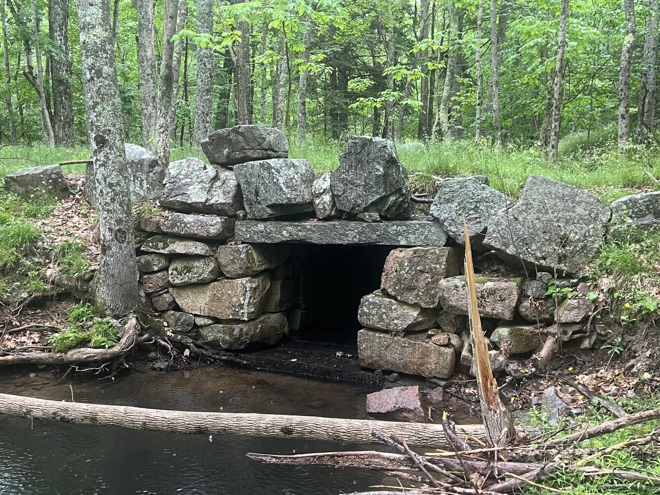
USGS researchers found that most stream reaches in the confined, high-gradient headwaters of the Acadia National Park highlands, including Sargent, Penobscot, and Cadillac Mountain, have the highest erosion potential and often overlap with sites of prior erosion and structural damage. In these reaches, the streams often have a bedrock streambed bounded by steep banks composed of loose materials, like boulders, gravel, or sand. During a flooding event, the erosion resistant bedrock streambeds force water to erode the sides of the stream banks, often resulting in significant damage to historic trail networks and stream crossings.
Additionally, study results indicated that the stream crossings with the highest flood vulnerability are located throughout the park on Mount Desert Island, particularly south of Jordan Pond, north of Sargent Mountain, and surrounding Eagle Lake. More than a quarter of the total stream crossings in the park have insufficient information to compute flood vulnerability and are often on the parts of the stream with the highest potential for erosion, emphasizing the need for additional data.
Dataset Development
The erosion potential and flood vulnerability datasets were created by updating the park hydrography (mapped location of stream channels) with 1-meter resolution lidar data and by computing channel morphology and hydrology metrics associated with stream power, including steepness, topographic openness, and percent storage (i.e. wetlands, ponds, and lakes) in the contributing watershed. The scientists utilized USGS StreamStats to calculate design flows, which are the streamflow estimates used to determine the optimal culvert or bridge size needed at that site to accommodate the projected high flows. These design flows were compared to calculated stream crossing conveyance capacities, or the amount of water that can pass through the stream crossing, to assess its flood vulnerability.
How NPS Will Use these Results
“With all this information, NPS staff can prioritize the repair, restoration, or replacement of damaged or failing trails, culverts, and bridges,” said Armstrong. “This database will also help managers develop strategies on how they can moderate flood damage to the park’s natural resources.”
Furthermore, the methods used in this study can be applied to any region where high-resolution lidar data, flood-flow regional regression equations, and stream crossing data are available.

Related

Erosion Potential and Flood Vulnerability of Streams and Stream Crossings at Acadia National Park, Maine
Related