
Determining How New England’s Water Resources Respond to Various Climate Scenarios
Possible changes in temperature and precipitation over the next several decades may have implications for New England’s agricultural community, such as changing plant water availability and crop yield variability. The U.S. Geological Survey, in cooperation with the U.S. Department of Agriculture and the University of Maine, is predicting the potential hydrological effects based on these climatic changes using the USGS Precipitation Runoff Modeling System (PRMS). An important objective of this study is to provide estimates of potential future hydrological conditions to inform the New England farming industry.
Outcomes of this project will include quantitative data, maps, and other resources for our partners to use and distribute to focus groups including farmers and the agricultural community and to assess how this information influences farming practices decision making.
The PRMS is a deterministic modeling system that identifies watershed and streamflow responses from different combinations of land use and climate characteristics. USGS scientists calibrated the PRMS model to make it specific to New England with a watershed scale of HUC-12 and generated future hydrologic response scenarios based on various global climate models (GCMs; also called general circulation models).
The input to PRMS consists of daily mean precipitation, daily maximum air temperature, and daily minimum air temperature, as well as parameters developed from hydrologic characteristics of the watersheds. The model output of the various hydrologic response variables—especially streamflow, groundwater recharge, soil moisture, snowfall and snowmelt, and direct surface runoff—can help evaluate potential hydrologic change—and ultimately potential farm decisions related to practices such as irrigation.
The model will be used to make predictions over the next century and will use up to five GCMs and two emissions scenarios.
Output will be assessed at annual, monthly, and daily time scales. Additionally, GCMs and emission scenarios will be assessed individually and as an ensemble. Results will be available as peer-reviewed data release(s), an accessible web tool to communicate results with stakeholders, and in peer-reviewed reports.
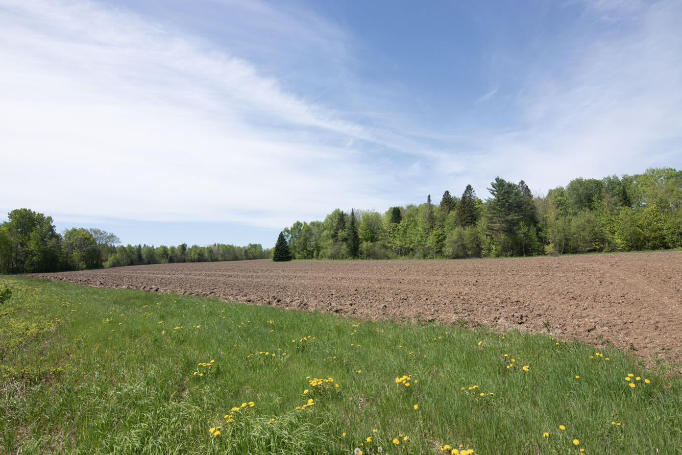
Tilled farmland near Millinocket, ME in May 2025.
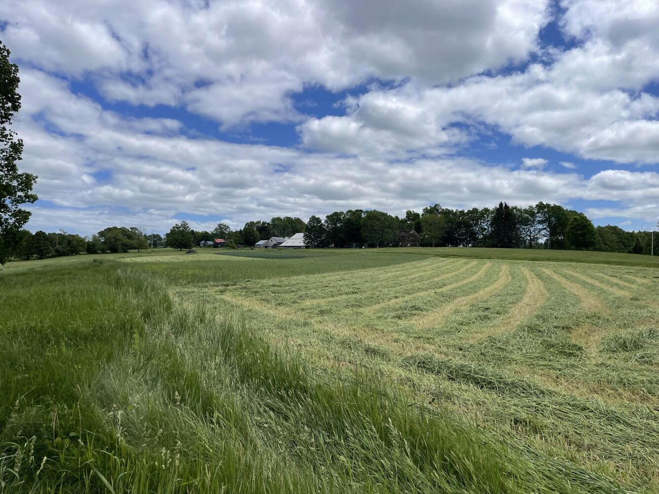
A hay field at Shaws Hill Farm in Kensington, NH.
Possible changes in temperature and precipitation over the next several decades may have implications for New England’s agricultural community, such as changing plant water availability and crop yield variability. The U.S. Geological Survey, in cooperation with the U.S. Department of Agriculture and the University of Maine, is predicting the potential hydrological effects based on these climatic changes using the USGS Precipitation Runoff Modeling System (PRMS). An important objective of this study is to provide estimates of potential future hydrological conditions to inform the New England farming industry.
Outcomes of this project will include quantitative data, maps, and other resources for our partners to use and distribute to focus groups including farmers and the agricultural community and to assess how this information influences farming practices decision making.
The PRMS is a deterministic modeling system that identifies watershed and streamflow responses from different combinations of land use and climate characteristics. USGS scientists calibrated the PRMS model to make it specific to New England with a watershed scale of HUC-12 and generated future hydrologic response scenarios based on various global climate models (GCMs; also called general circulation models).
The input to PRMS consists of daily mean precipitation, daily maximum air temperature, and daily minimum air temperature, as well as parameters developed from hydrologic characteristics of the watersheds. The model output of the various hydrologic response variables—especially streamflow, groundwater recharge, soil moisture, snowfall and snowmelt, and direct surface runoff—can help evaluate potential hydrologic change—and ultimately potential farm decisions related to practices such as irrigation.
The model will be used to make predictions over the next century and will use up to five GCMs and two emissions scenarios.
Output will be assessed at annual, monthly, and daily time scales. Additionally, GCMs and emission scenarios will be assessed individually and as an ensemble. Results will be available as peer-reviewed data release(s), an accessible web tool to communicate results with stakeholders, and in peer-reviewed reports.
Tilled farmland near Millinocket, ME in May 2025.
A hay field at Shaws Hill Farm in Kensington, NH.