



Low-Streamflow Statistics for Unregulated Streams in Vermont
Below normal streamflows can intensify competing water demands and affect water quality, drinking-water supplies, and aquatic habitat. Estimating normal low-flow statistics is critical to support natural resource management. The current methods for estimating low-flow statistics at ungaged streams, particularly on small watersheds, are limited in Vermont. The USGS is computing low-flow statistics for unregulated or minimally-regulated streamgages throughout the state. The objective is to develop regression equations that can be used to estimate select low-flow statistics at any unregulated, ungaged stream location in Vermont.
In cooperation with the Vermont Department of Environmental Conservation (VTDEC), the Lake Champlain Basin Program (LCBP), and Environmental Protection Agency (EPA) Region 1, the USGS is investigating the climatic, geologic, topographic, and watershed characteristics that can predict low streamflows to develop methods for estimating select low-flow statistics at ungaged locations throughout Vermont.
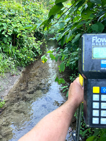
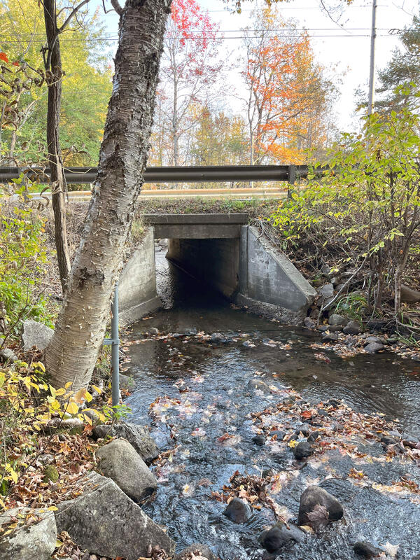
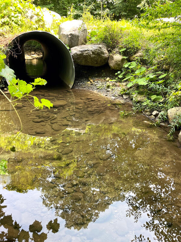
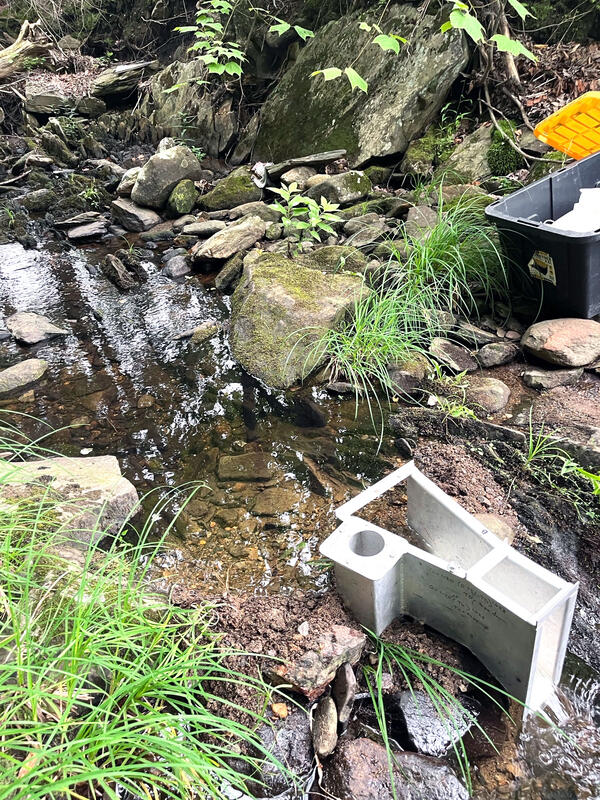
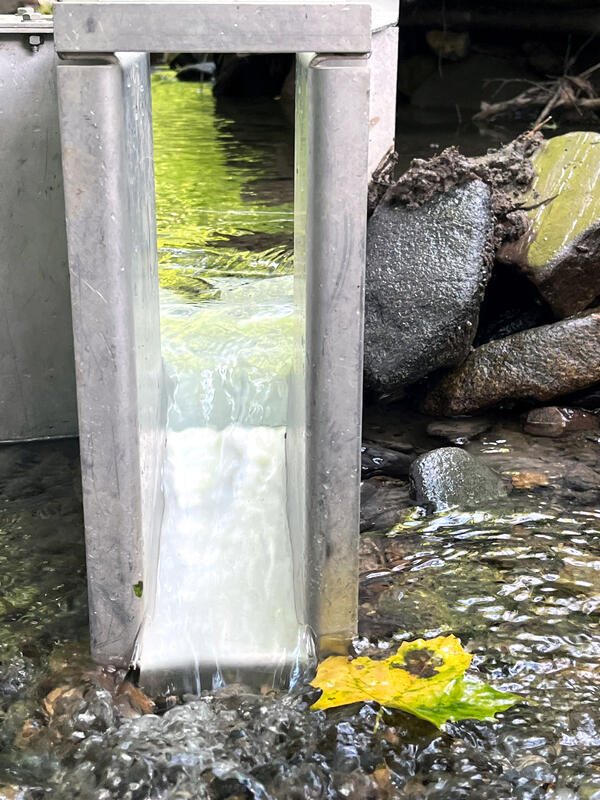
The USGS will compile long-term records from unregulated streamgages where flows are not altered by intake or release programs and establish additional partial-record low streamflow gaging stations on small streams to expand the data set with small drainage areas. Field measurements collected at the partial-record streamgages during low-flow streamflow recessions will be related to concurrent flows at long-term continuous-record streamgages to estimate low-flow statistics at the partial-record sites. A suite of watershed characteristics, including climate, geology, topography, and land use, will be evaluated using statistical regression techniques to identify the primary drivers of low-flow conditions and to develop predictive equations for selected low-flow statistics.
The resulting equations, supporting data, and analytical code will be published in a USGS data release and report. Additionally, the methods will be incorporated into the publicly-available USGS StreamStats application, allowing users to calculate consistent and statistically defensible low-flow statistics at ungaged locations.
These products will improve understanding of the factors controlling drought and low streamflows in Vermont. Through StreamStats and the USGS equations and data, water-resource managers, communities, and other stakeholders will have the tools to evaluate water availability, protect aquatic habitat, support water-quality standards, and improve drought resilience.
Below normal streamflows can intensify competing water demands and affect water quality, drinking-water supplies, and aquatic habitat. Estimating normal low-flow statistics is critical to support natural resource management. The current methods for estimating low-flow statistics at ungaged streams, particularly on small watersheds, are limited in Vermont. The USGS is computing low-flow statistics for unregulated or minimally-regulated streamgages throughout the state. The objective is to develop regression equations that can be used to estimate select low-flow statistics at any unregulated, ungaged stream location in Vermont.
In cooperation with the Vermont Department of Environmental Conservation (VTDEC), the Lake Champlain Basin Program (LCBP), and Environmental Protection Agency (EPA) Region 1, the USGS is investigating the climatic, geologic, topographic, and watershed characteristics that can predict low streamflows to develop methods for estimating select low-flow statistics at ungaged locations throughout Vermont.
The USGS will compile long-term records from unregulated streamgages where flows are not altered by intake or release programs and establish additional partial-record low streamflow gaging stations on small streams to expand the data set with small drainage areas. Field measurements collected at the partial-record streamgages during low-flow streamflow recessions will be related to concurrent flows at long-term continuous-record streamgages to estimate low-flow statistics at the partial-record sites. A suite of watershed characteristics, including climate, geology, topography, and land use, will be evaluated using statistical regression techniques to identify the primary drivers of low-flow conditions and to develop predictive equations for selected low-flow statistics.
The resulting equations, supporting data, and analytical code will be published in a USGS data release and report. Additionally, the methods will be incorporated into the publicly-available USGS StreamStats application, allowing users to calculate consistent and statistically defensible low-flow statistics at ungaged locations.
These products will improve understanding of the factors controlling drought and low streamflows in Vermont. Through StreamStats and the USGS equations and data, water-resource managers, communities, and other stakeholders will have the tools to evaluate water availability, protect aquatic habitat, support water-quality standards, and improve drought resilience.