



Low-Flow Statistics Flow Report Available in StreamStats
The South Atlantic Water Science Center has integrated regionalization models for estimating Low-Flow Frequency Statistics at ungaged locations into the USGS StreamStats web application. This new functionality allows users to generate reports on basin characteristics, low-flow statistics, and mean annual flow, for Georgia, North Carolina, and South Carolina.
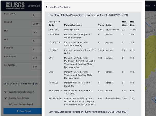
The USGS, working with state environmental agencies in Georgia, North Carolina, and South Carolina, updated key streamflow statistics for 843 streamgages across the region, focusing on how much water streams carry during periods of low flow, and on average each year. They developed regionalization regression models to estimate low‑flow conditions at locations without gages using factors like watershed size, rainfall, land cover, and ecological region. This is the first time regional regressions were developed for low-flow statistics across the three-State region, which provides consistency across States and is particularly beneficial for basins that cross State boundaries.