



Hidden in Plain Sight: Discovering Cemeteries on Hiking Paths
Hiking trails or paths often reveal hidden cemeteries, remnants of an earlier landscape, and persist along modern paths.
I’ve hiked often enough to notice that coming across a cemetery along a trail - especially in rural or older parts of the U.S. - is surprisingly common. It feels like a coincidence, but it really isn’t. Many cemeteries were established long before modern roads existed. Families buried relatives on their own land or in small community plots, and the landscape was organized around homesteads and property lines. As they were abandoned, sold, or absorbed into public lands, those old burial sites remained. Later, roads were built along former wagon routes, property boundaries, or whatever land was accessible, creating a layering of historic landscapes beneath today’s spaces.
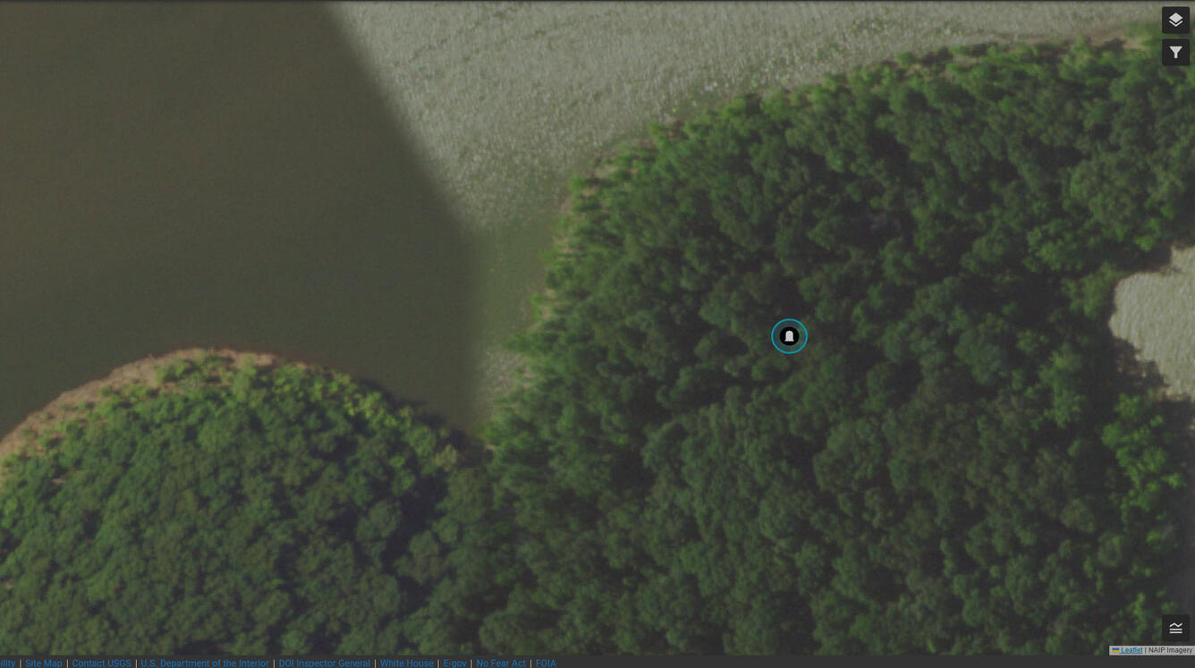
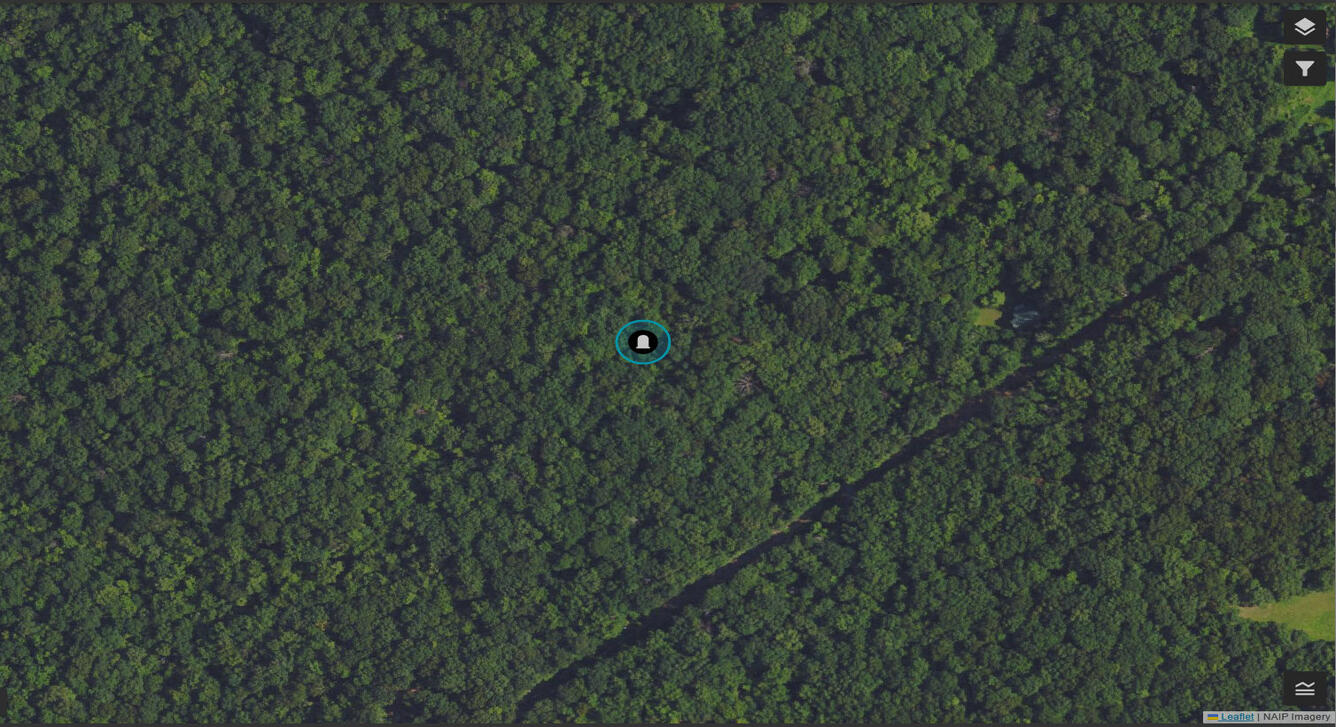
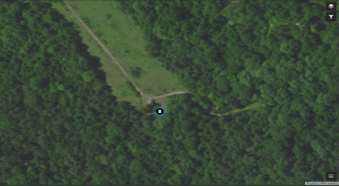
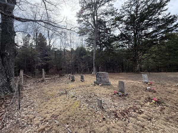
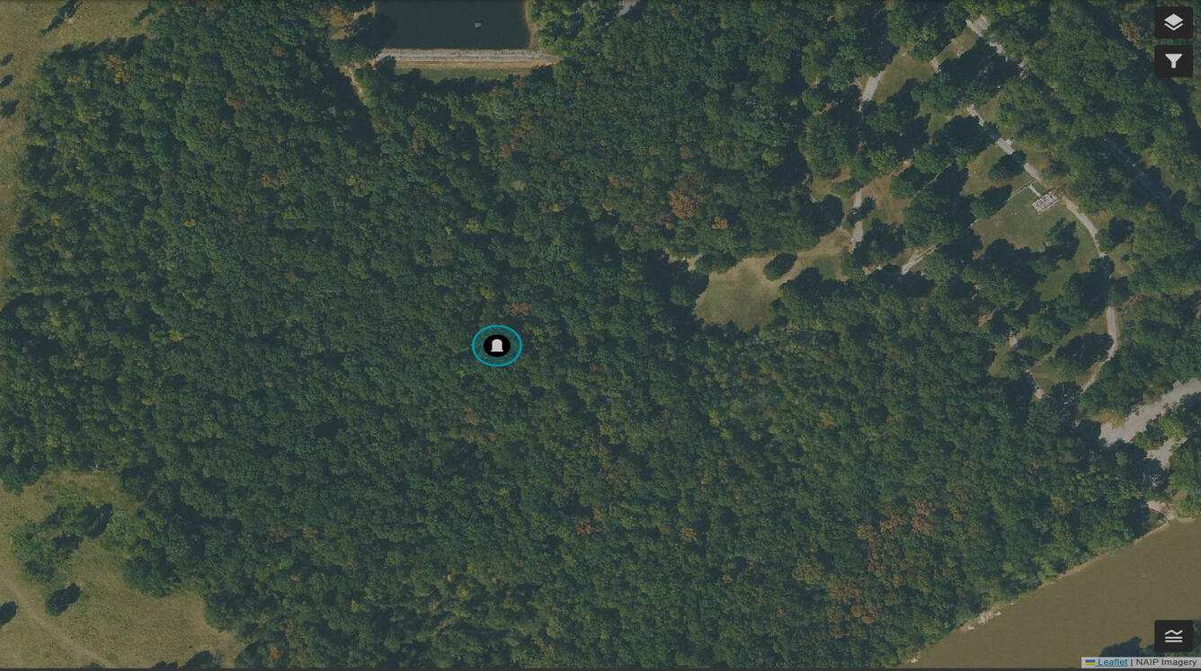
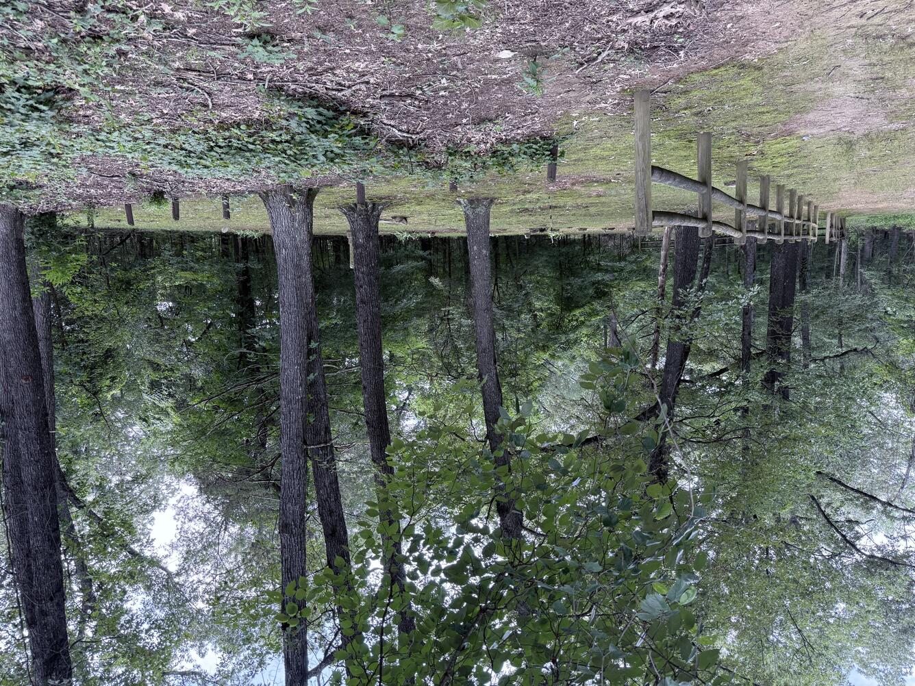
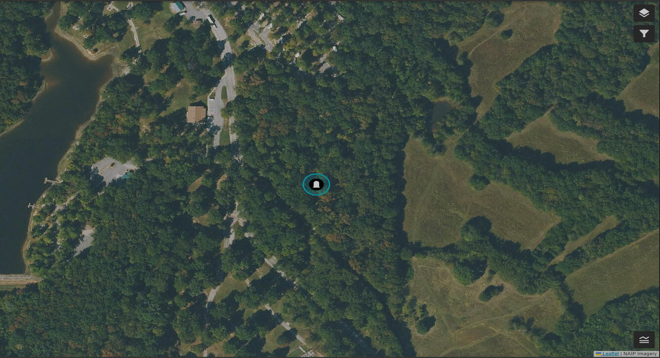
Cemeteries can be difficult to identify from aerial imagery alone. On the ground, features like monuments, pathways, and landscaping are easy to recognize and provide helpful visual cues. From above, much of that three-dimensional detail disappears, and even large cemeteries can blend into the surrounding landscape. I ground truth sites because it helps me learn how to interpret objects in aerial imagery. Seeing features on the ground - where their shapes, materials, and context are obvious—makes it easier to recognize those same patterns from above. Below is a selection of cemeteries from my recent hikes.
Try looking for the following examples in the TNMCorps map editor and compare the ground view to the aerial view. Use multiple imagery sources and pay attention to acquisition dates if referencing commercial imagery to identify ground characteristics.
Allison Cemetery – Missouri
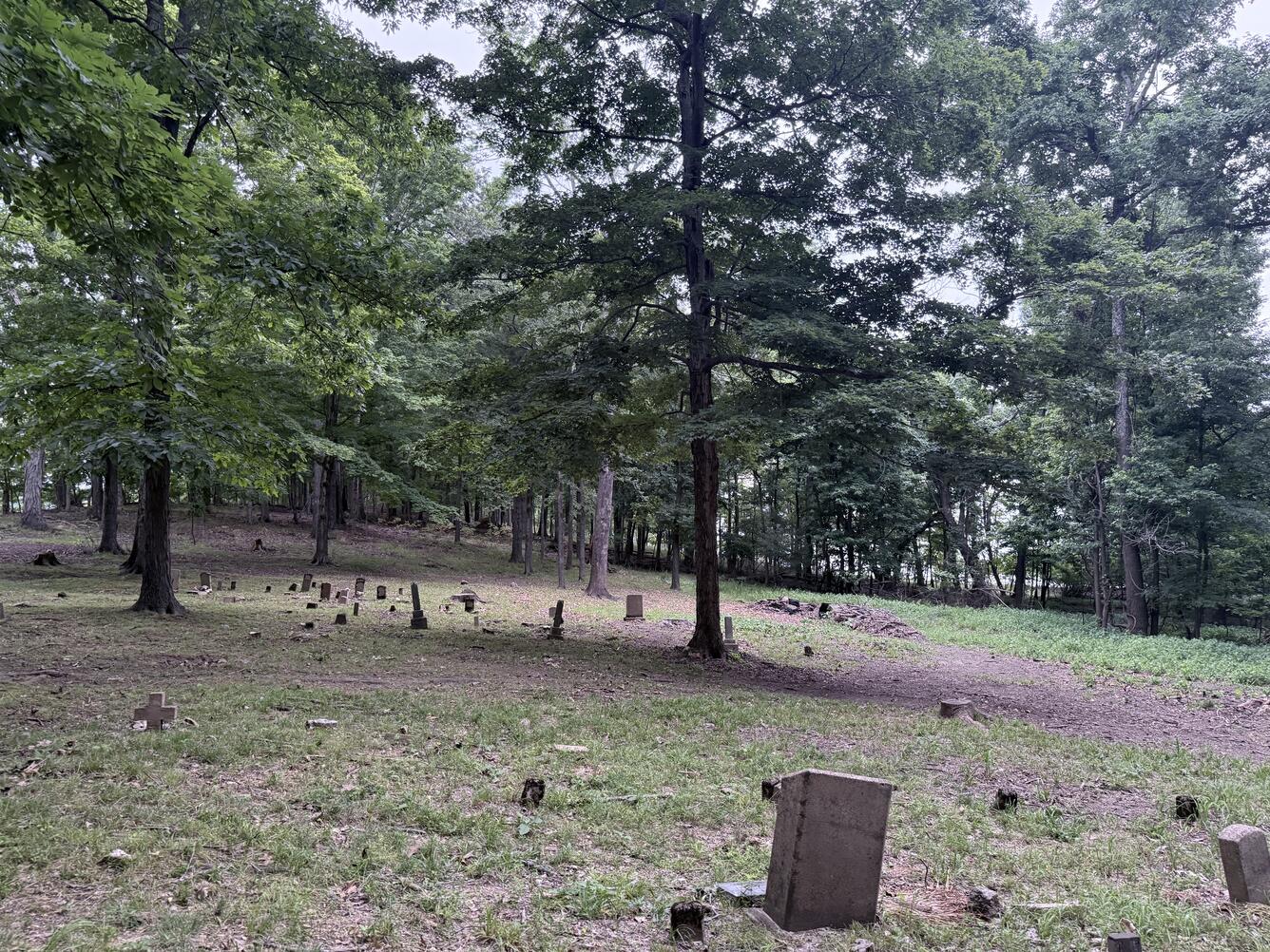
Allison Cemetery, also called Allison-Connor Cemetery, is a small and well-maintained family plot dating back to the mid-1800s. It is located on a ridge inside Lake Wappapello State Park and is accessible by the Allison Cemetery Trail. The Allison Cemetery Trail leads hikers through natural ground cover with lots of loose rocks, exposed roots, and matted leaf litter. A short spur offers access to the lakeshore from the cemetery site. The trail climbs up a steep ridge, ending near the day use area, which includes a shelter, playground, and restrooms. A portion of the route overlaps with the Lake View Trail.
More Context
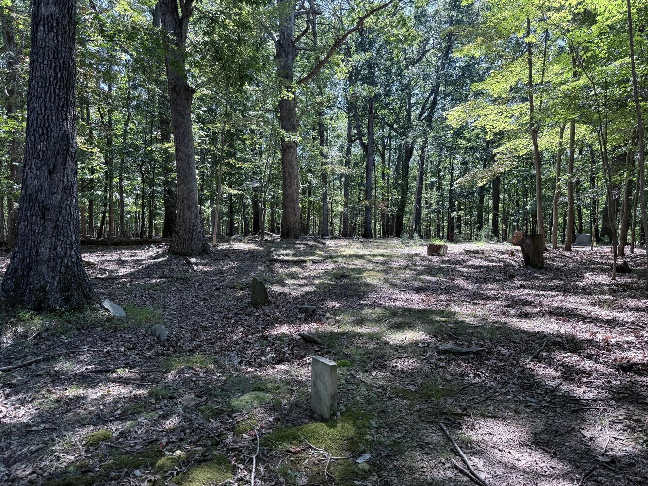
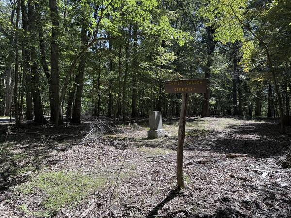
Christ Church Cemetery – West Virginia
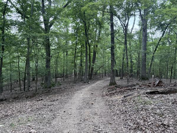
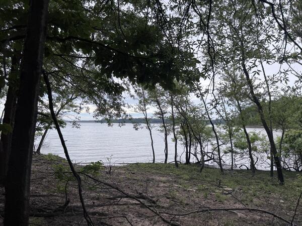
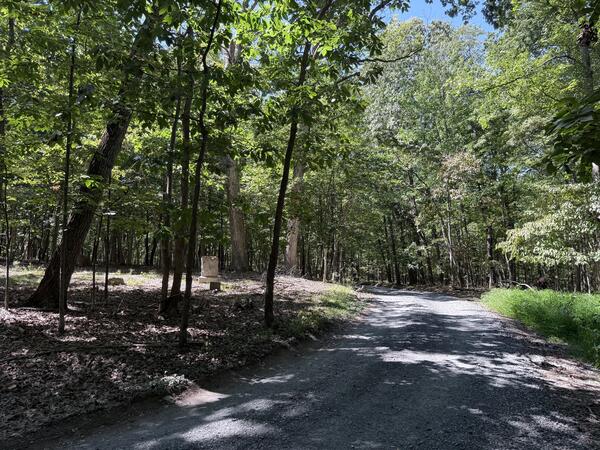
The hike to Christ Church Cemetery and the adjacent stone ruins is more of a woodland walk through protected forest of the Rolling Ridge Conservancy. A well-managed trail system offers several routes through serene forest and of varying difficulty or drive the gravel road. Once home to an active Episcopal mission in the late 19th century, the heavily shaded forested landscape rises and falls with a few climbs. The ground cover is mostly vegetation and natural dirt with some occasional gravel sections. Depending on the route and time of year, a few of the water crossings can make for a slick and muddy experience.
More Context
Baker Cemetery - Missouri
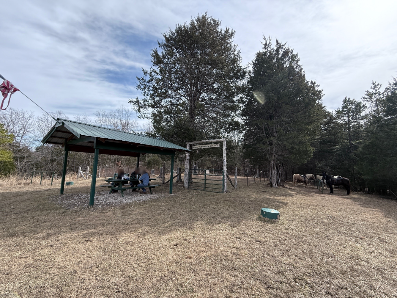
In 1978, the Missouri Conservation Department acquired the land next to and including the site of Baker Cemetery, to form the Little Indian Creek Conservation Area. The cemetery originated as a small family burial plot on private farmland adjacent to Little Indian Creek.
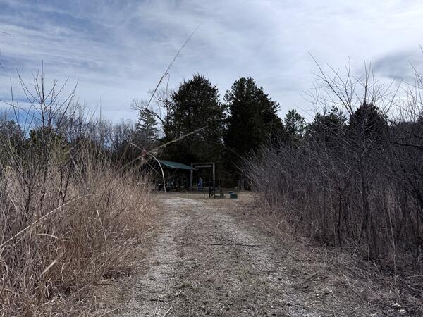
To reach the cemetery, you’ll need to cross Little Indian Creek- a test of balance, awareness, and patience – and enter the trailhead next to the horse trailer parking. The trail is designed for hiking and equestrian use, making its way through varied, rugged Ozark terrain and loops Little Indian Creek. At Baker Cemetery you will find hitching posts, mounting blocks, and a covered pavilion with picnic table adjacent to the entrance of the cemetery.
More Context
Davidsonville Historic Park – Arkansas
The next two cemeteries are located within Davidsonville Historic State Park in Pocahontas, Arkansas. This park preserves the former frontier town of Davidsonville, a bustling 1815 frontier town. It is historically significant as the home of Arkansas Territory’s first post office, earliest courthouse, and land office. Because it was abandoned in the 1830s, the undisturbed site is a treasure trove for archeologists, who are actively uncovering frontier foundations, streets, and artifacts. The park borders the Black River and 12-acre Trapper Lake.
Phillips - Reeves Cemetery
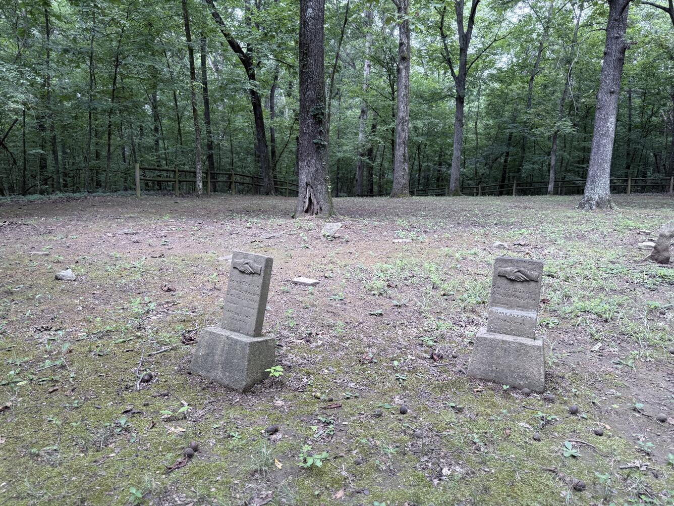
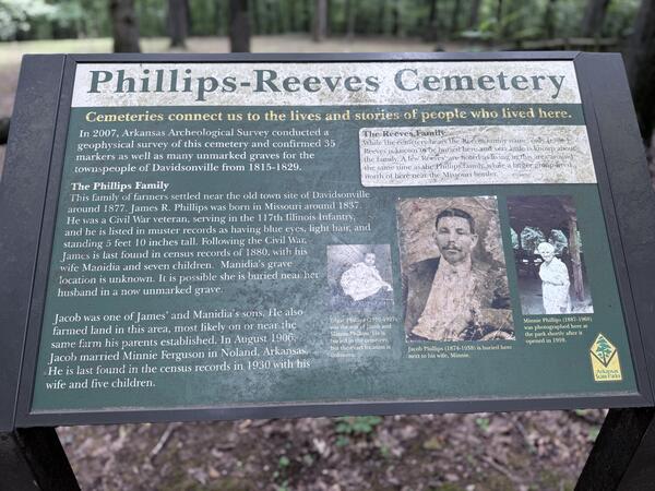
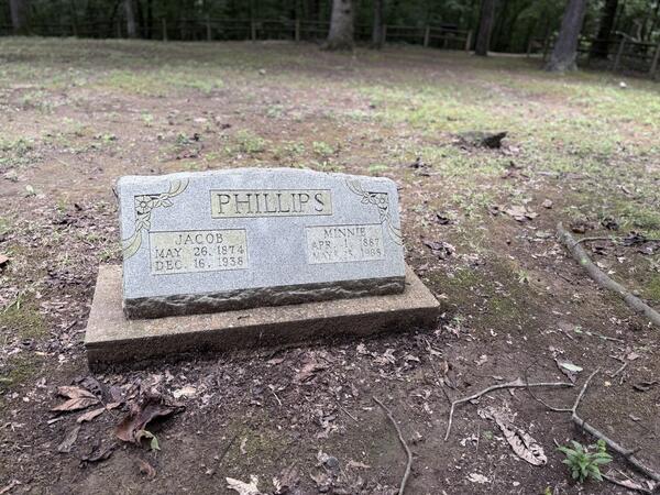
To reach the Phillips - Reeves Cemetery follow the Black River Trail. The hike is through natural woodland floors of packed earth, leaf litter, with mostly gentle rolling terrain, typical of riverside forest. Because it sits below mature trees, it feels secluded and tucked away. This trail connects with Trapper Lake Trail, north of the visitor center.
More Context
Scott Cemetery
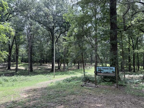
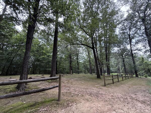
Burials at Scott Cemetery reflect the families who remained in the area after the town of Davidsonville faded away. The Scott Family operated the Black River ferry until 1927, long after Davidsonville had become a ghost town. To reach the cemetery, take the Scott Cemetery Trail right off the paved road. The trail follows a packed, level natural dirt surface, making a short and accessible hike from the visitors’ center. As you get closer you will approach a small gate. You can jump on the Townsite Trail at the other end.
More Context
Related
The National Map Corps July 2026 Newsletter - Vol. 12 | Issue 3 The National Map Corps July 2026 Newsletter - Vol. 12 | Issue 3
Related