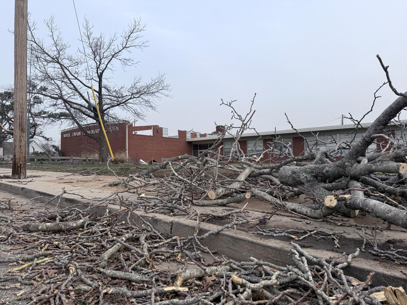
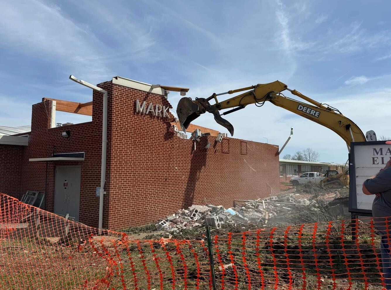
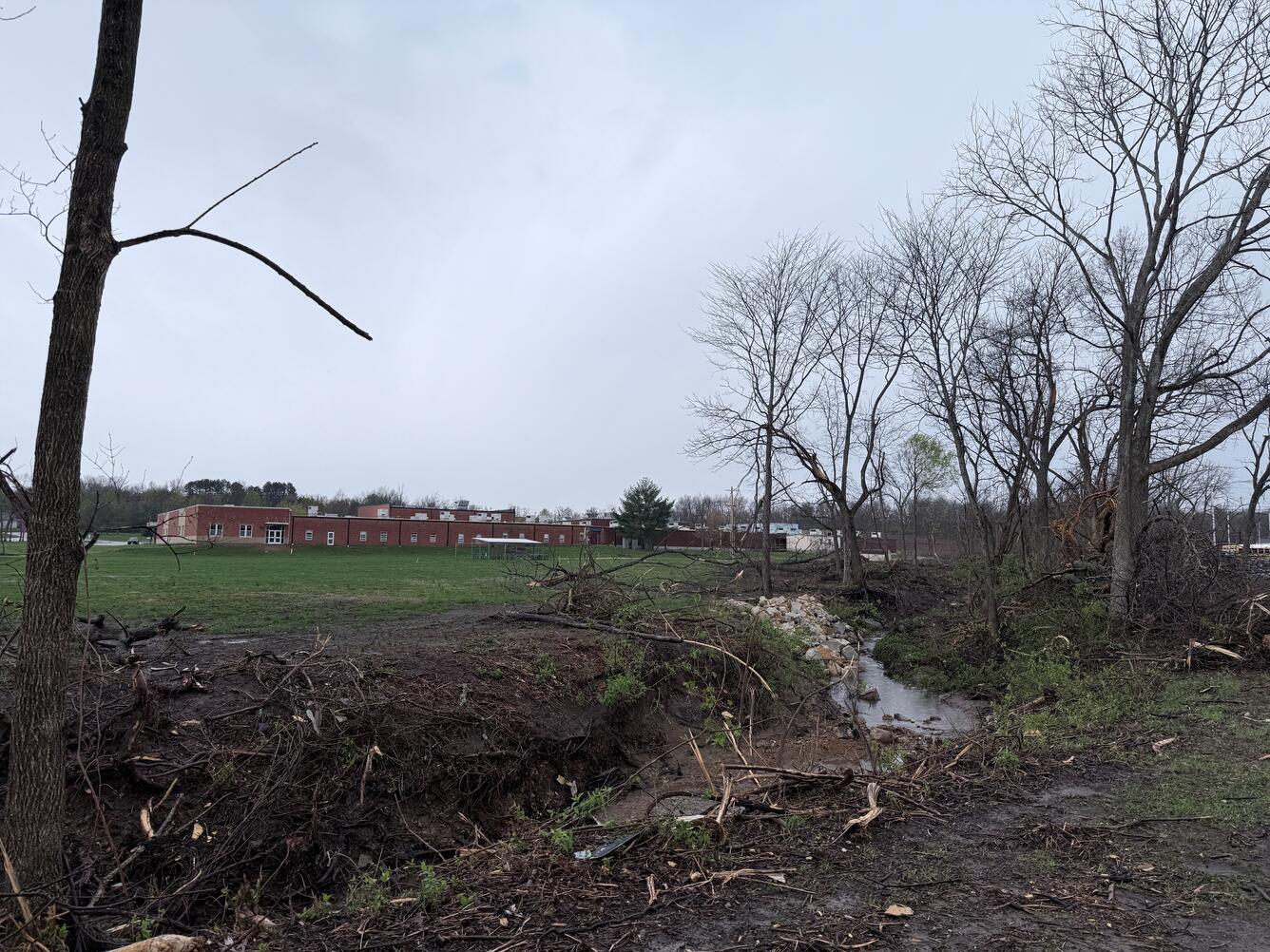
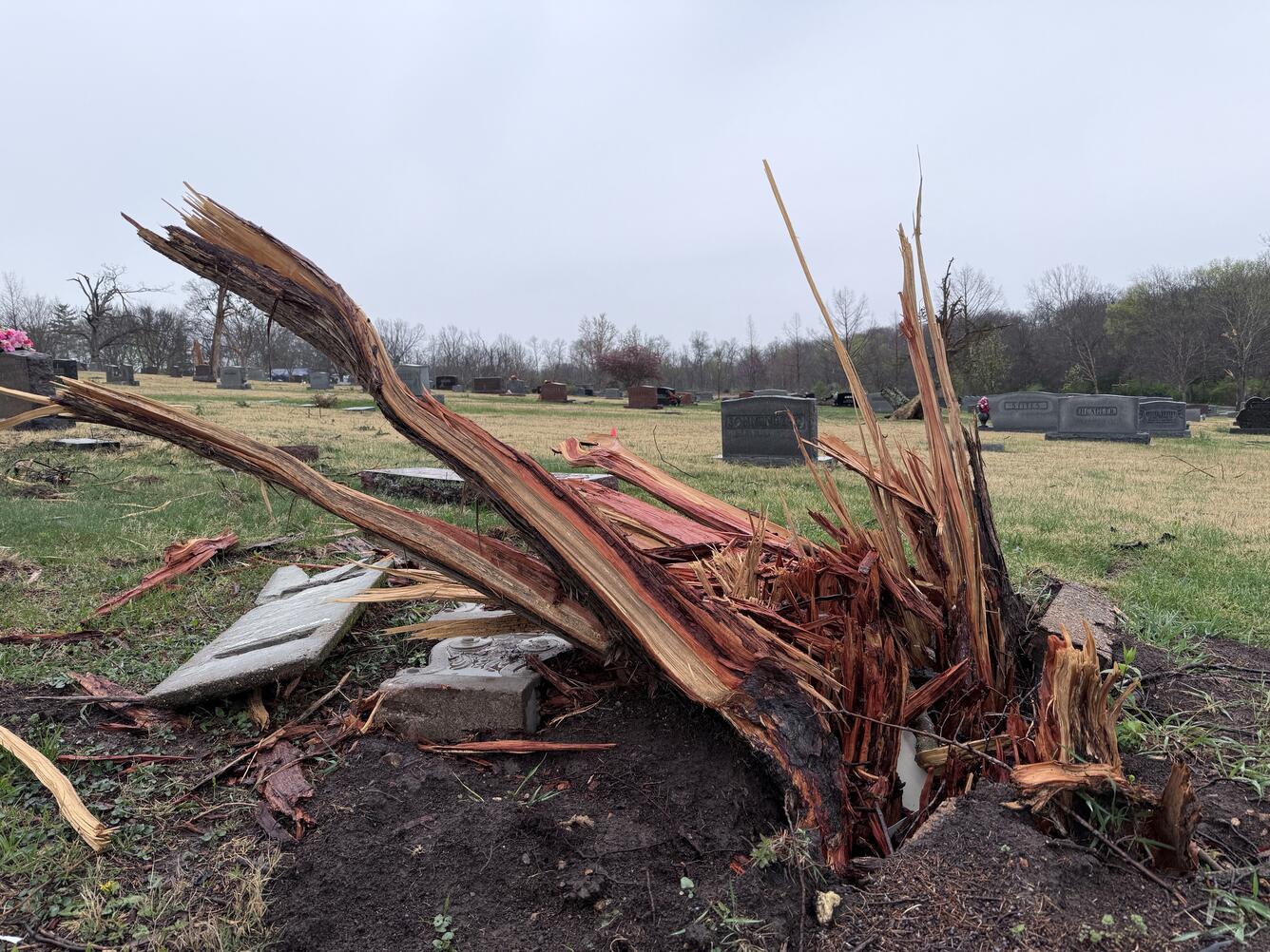
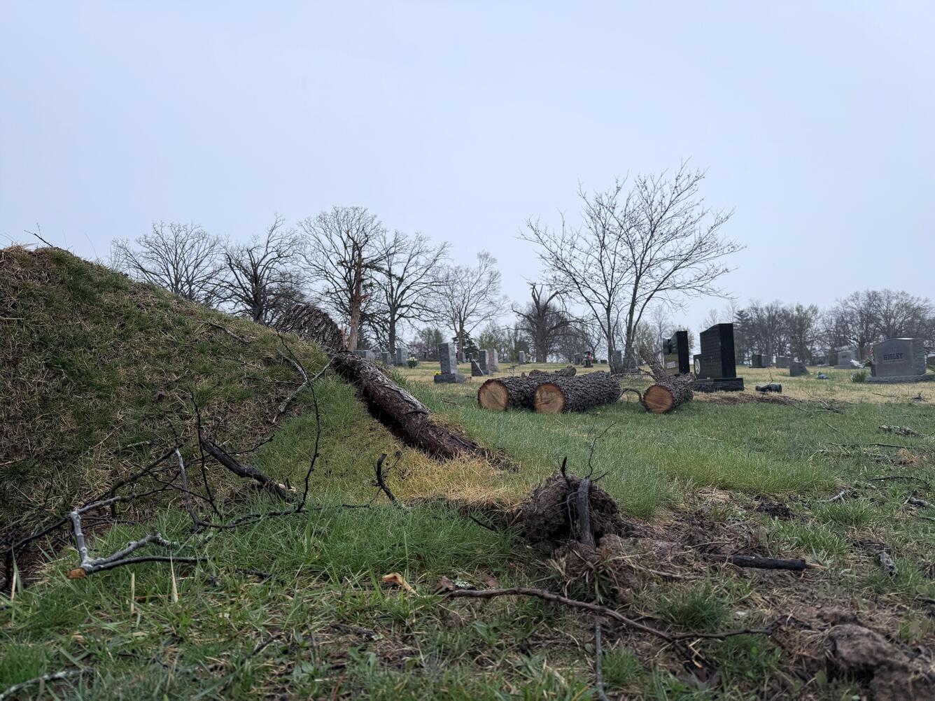
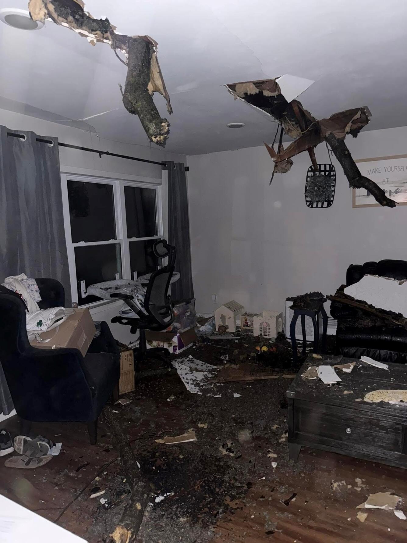
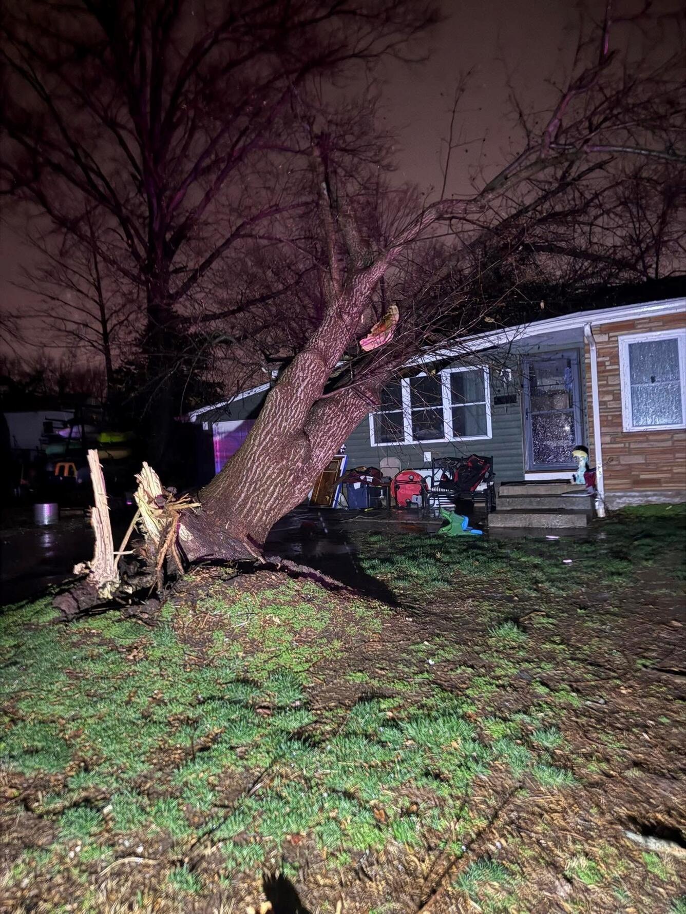
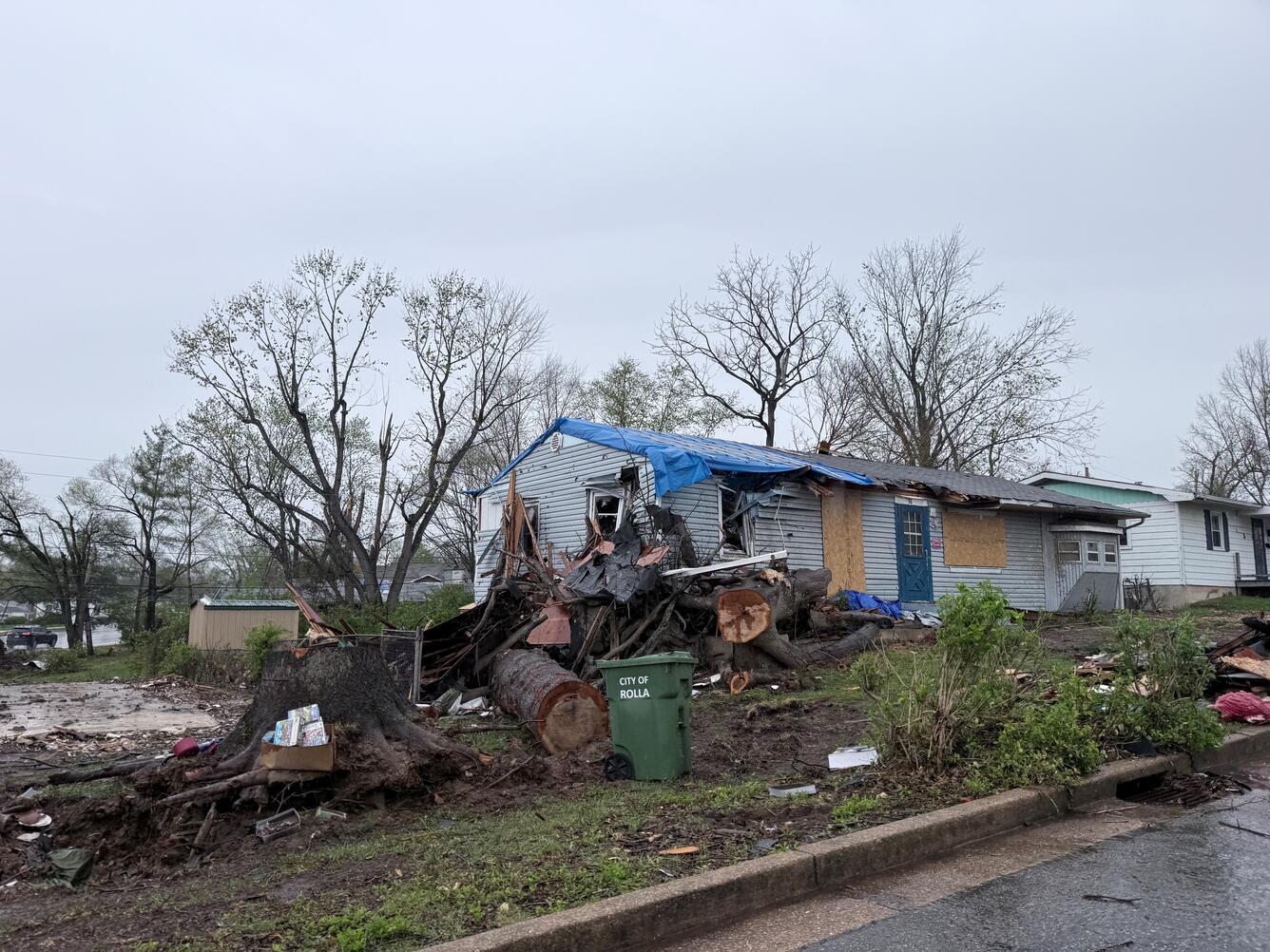
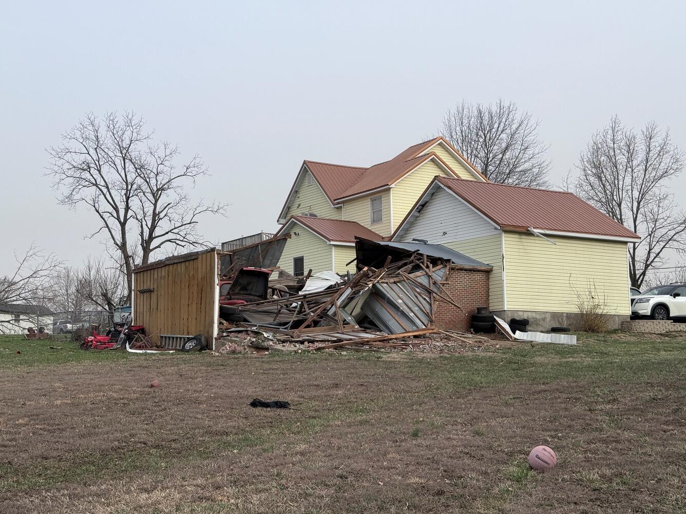
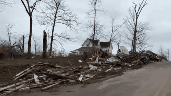
Missouri Tornado Affects USGS Office and TNMCorps Operations
A category EF2 tornado caused our systems and services to go offline.
Dear Volunteers,
You may have noticed on Friday March 14th, our web-based map editor was offline. The city of Rolla, Missouri was hit by a category EF2 tornado, triggering a state of emergency. The severe weather impacted critical infrastructure at the Rolla Federal Center causing our systems and services to be unavailable and the office to be closed for one week. The National Map Corps is operated by The National Geospatial Technical Operations Center (NGTOC) with locations in Rolla, Missouri and Denver, Colorado. While we occasionally experience technical issues that cause the editor to go offline, this was an unusual event. We always appreciate your patience as we work to resolve technical issues that may arise.