
June 26, 2025 — UAS monitoring/mapping flights at Kīlauea summit
Detailed Description
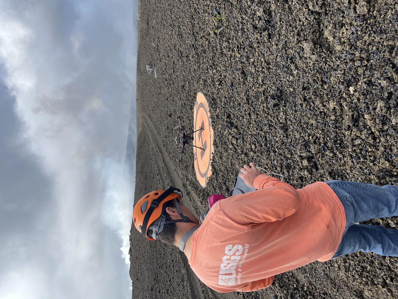
On June 26, the USGS Hawaiian Volcano Observatory conducted a UAS (uncrewed aircraft systems) mission to monitor the ongoing Kīlauea summit eruption and map its tephra deposits. Here, a geologist prepares for a flight from former Crater Rim Drive within the closed portion of Hawai‘i Volcanoes National Park. The road is now buried under about a foot of tephra in this area, but the deposit is even thicker directly downwind of the eruptive vents; the approximately 80-foot (25-meter) Pu‘u in the background of this photo has been built entirely during this eruption. UAS flights are conducted with the permission of the National Park and aid in hazard assessment of ongoing volcanic activity. Unauthorized launching, landing, or operating of a UAS from or on lands and waters administered by the National Park Service is prohibited under 36 CFR Closures & Public Use. USGS photo by P. Dotray.
Sources/Usage
Public Domain.