
Landsat 9 False Color Image of the Beaufort Sea Shoreline

Detailed Description
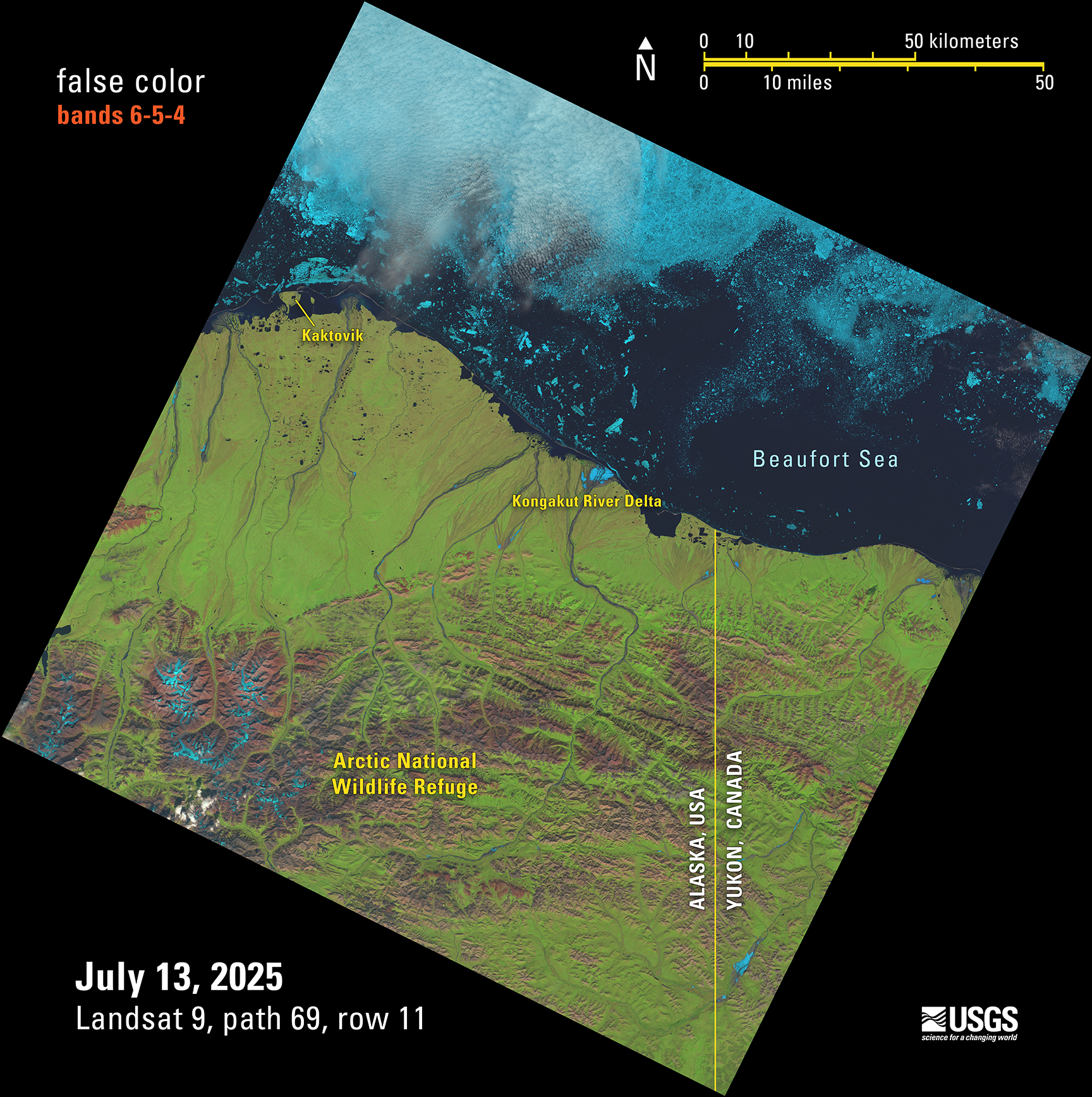
This Landsat 9 image showing the Beaufort Sea shoreline off of Alaska and Canada is just one of the scenes captured and processed on July 13, 2025— that day, the USGS EROS archive reached a milestone of one million Landsat 9 Level-1 products. This false color image was made with bands 6,5, and 4 from the Operational Land Imager.
This remote area allows the pristine wilderness environment to support a diverse wildlife and unique ecosystem that includes various species of mammals, birds, and fish.
Landsat Level-1 products from Landsat 1 through Landsat 9 can be downloaded at no charge from a number of systems - visit the Landsat Data Access webpage to learn more.
Sources/Usage
Public Domain.