
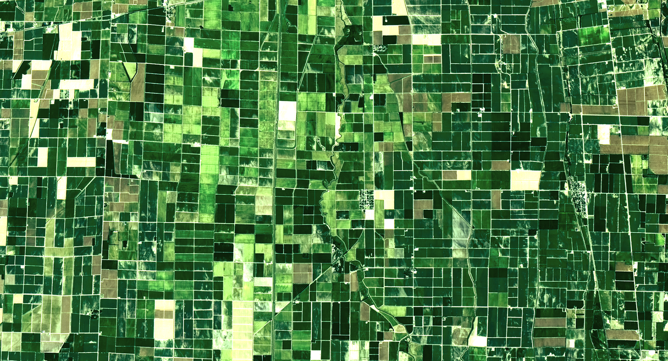
Landsat 9 image of cropland in southeastern Missouri
Detailed Description
This Landsat 9 image displays cropland during the summertime in an area of both Stoddard and New Madrid Counties in southeastern Missouri.
A variety of crops are produced in this area of the country, including corn, soybeans, rice, and cotton.
The Little Runs down the center of the image, with the small towns of Canalou and Matthews to the right center of the image.
Ref: https://croplandcros.scinet.usda.gov/
Landsat 9
Path 23 Row 34
Acquired August 25, 2024
Sources/Usage
Public Domain.