
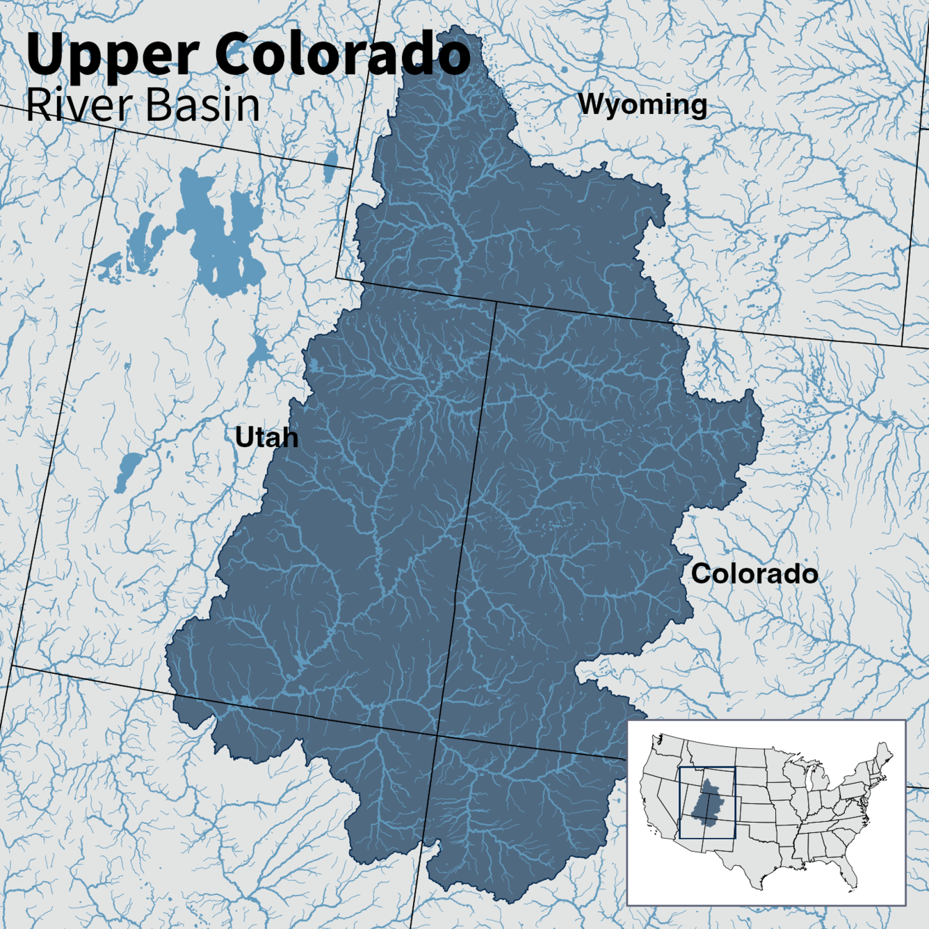
Map of Upper Colorado River Basin - Integrated Water Availability
Detailed Description
Map of the Upper Colorado River Basin —referred to as an Integrated Water Science (IWS) basins—are intensively monitored study basins representing a wide range of environmental, hydrologic, and landscape settings and human stressors of water resources to improve our understanding of water availability across the Nation.
Sources/Usage
Public Domain.
Non-navigational map for reference only.
Related
Integrated Water Science Basins: Upper Colorado River
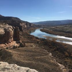
The Upper Colorado River Basin (UCRB) provides drinking water for 40 million people in the United States and Mexico. USGS research in the UCRB examines the key potential factors affecting water supply in the upper portion of the basin—snow processes and water storage, wildfire and basin hydrology, and salinity concentrations and water quality.
Related
Integrated Water Science Basins: Upper Colorado River
The Upper Colorado River Basin (UCRB) provides drinking water for 40 million people in the United States and Mexico. USGS research in the UCRB examines the key potential factors affecting water supply in the upper portion of the basin—snow processes and water storage, wildfire and basin hydrology, and salinity concentrations and water quality.