
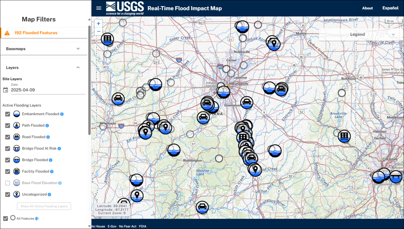
Real-Time Flood Impact Map: active flood impact locations during April 2025 flooding near Indianapolis, IN
Detailed Description
Screenshot of the USGS Real-Time Flood Impact Map on April 9, 2025, near Indianapolis, IN. Multiple streams and rivers experienced spring flooding, overtopping their embankments and affecting nearby roads, buildings, bridges, and more.
The Real-Time Flood Impact Map displays the locations (called “Flood Impact Locations”) where the USGS has measured the height of critical safety or infrastructure features that may be vulnerable to flood impacts. Flood Impact Locations are surveyed and associated with a nearby USGS real-time streamgage. When the streamgage water level (or gage height) exceeds the Flood Impact Location’s surveyed height, its icon will display on the map, showing that this location may be currently flooded.
Sources/Usage
Public Domain.