
Timelapse of Anchor River at Anchor Point in Alaska
Detailed Description
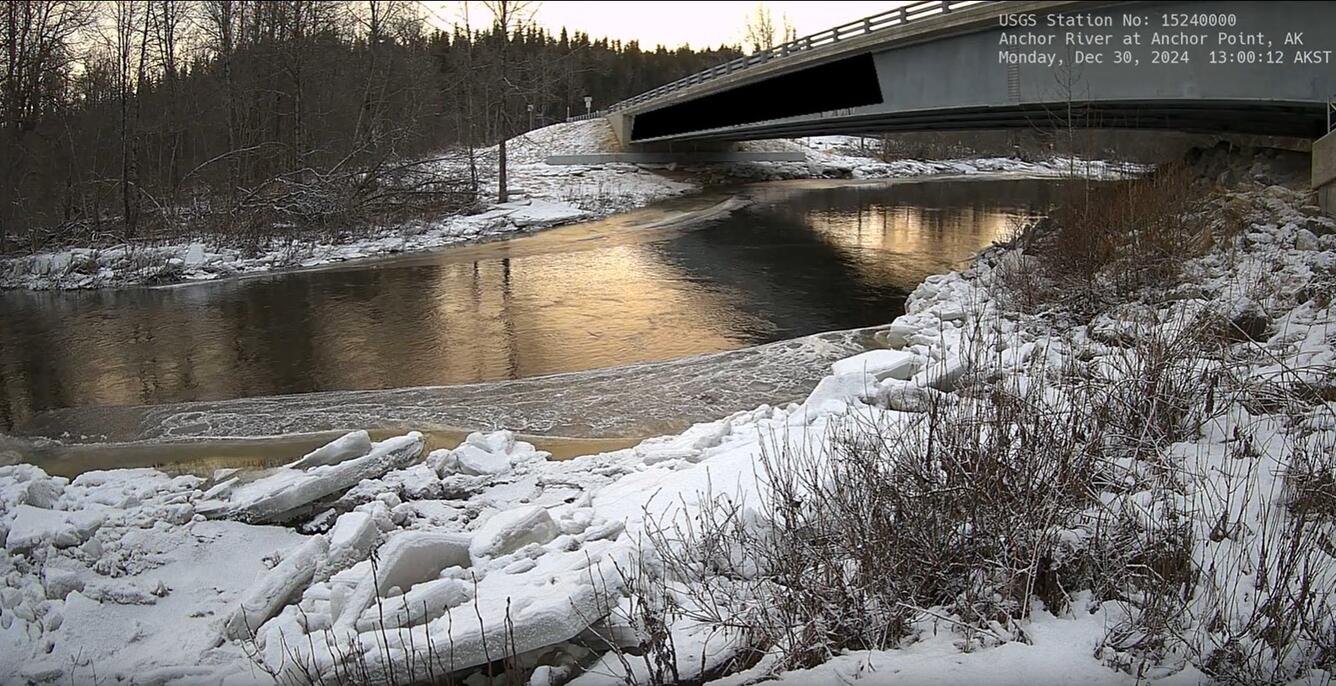
Two cameras were installed in December of 2024 on the Anchor River to monitor flooding associated with river ice. Traditional hydrologic monitoring is often ineffective when rivers freeze and break up and the cameras provide information needed by our partners to verify water levels and issue flood forecasts. Anchor River near Anchor Point and Anchor River at Anchor Point
The USGS maintains a network of 24 of webcams across Alaska to supplement hydrologic monitoring. These webcams provide valuable research information and data to the USGS scientists, the National Weather Service, emergency managers, and area residents to evaluate near, real-time conditions. The Hydrologic Imagery Visualization and Information System serves current and historical imagery as well as time-lapse videos at USGS monitoring locations.
Sources/Usage
Public Domain.