
TNMCorps The National Map Base Layer
Detailed Description
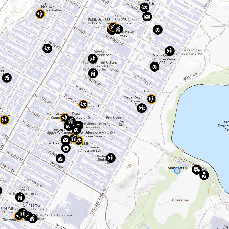
The National Map base layer is a vector-based map without imagery that covers the U.S. and territories. It displays, geographic names, boundaries, transportation, contours, hydrography, land cover, shaded relief, and bathymetry.
Sources/Usage
Public Domain.