
TNMCorps The National Map Imagery Layer
Detailed Description
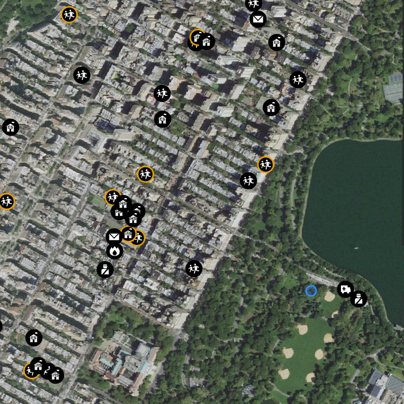
The National Map Imagery combines NAIP aerial photos (Continental United States) with High Resolution Orthoimagery, and Maxar Technologies imagery (Alaska, PR, HI). It is geometrically corrected to remove terrain and camera system distortions with map-level accuracy. It is the preferred layer for ensuring correct symbol placement on buildings or within cemetery grounds.
Sources/Usage
Public Domain.