
Regional View, Reliable Data: Introducing the USGS 250K Topo
The U.S. Geological Survey (USGS) has launched the 250K Topo, a new digital map product designed to support regional planning, land and resource management, and emergency response coordination.
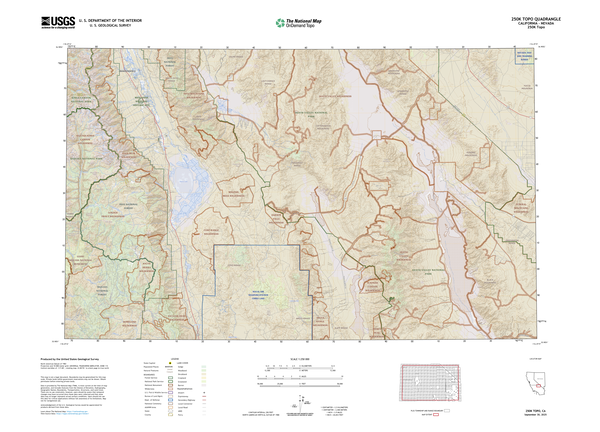
With broad geographic coverage and a clear focus on major features, the 250K Topo provides a modern take on the familiar 1:250,000-scale USGS topographic maps historically used by scientists, planners, and emergency response coordinators.
The 250K Topo is one of many OnDemand Topo products available through the topoBuilder application.
The 250K Topo maps are ideal for viewing large landscapes on a single map. Each map covers a large geographic area between 4,500 and 8,700 square miles depending on latitude and includes a mix of natural and engineered features such as cities, major roadways, political and administrative boundaries, rivers, elevation contours, land cover, geographic names, and key structures.
Styled after the traditional USGS 1-degree by 2-degree and 1-degree by 3-degree quadrangles used throughout the 20th century, the new 250K Topo updates the format with current mapping data and flexible delivery formats. Users can choose between standard extents or custom center points to generate maps tailored to their needs.
When compared to more detailed topographic maps, 250K Topo features are generalized with smoother lines, less features, and simplified shapes, while still retaining critical accuracy and attribution. The result is a clean, readable map designed to highlight major regional features.
Learn more about the 250K Topo and other OnDemand Topo products to see how USGS mapping continues to evolve to meet the needs of a changing world.