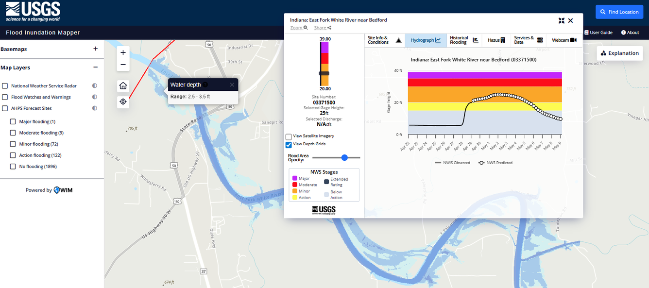
Flood Inundation Mapper
USGS Flood Inundation Maps, along with Internet information regarding current stage from the USGS streamgage, provide emergency management personnel and residents with information that is critical for flood-response activities, such as evacuations and road closures, as well as for post-flood recovery efforts. The Flood Inundation Mapper allows users to explore the full set of inundation maps that shows where flooding would occur given a selected stream condition. Users can also access historical flood information and potential loss estimates based on the severity of the flood. The FIM Mapper helps communities visualize potential flooding scenarios, identify areas and resources that may be at risk, and enhance their local response effort during a flooding event.