
Coastal National Elevation Database (CoNED) Applications Project


Related

Coastal National Elevation Database (CoNED) Applications Project
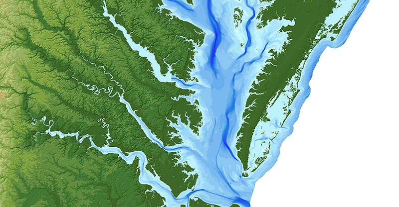
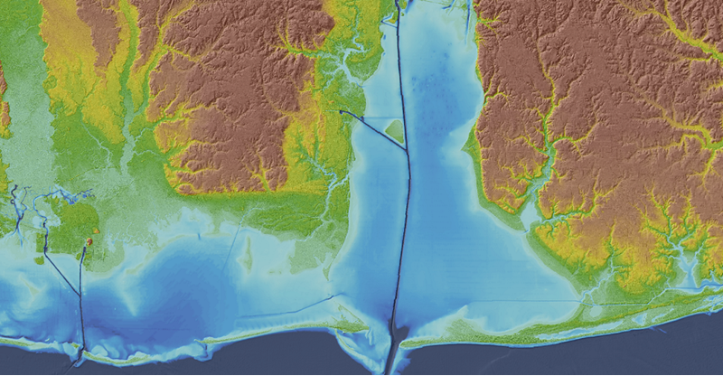
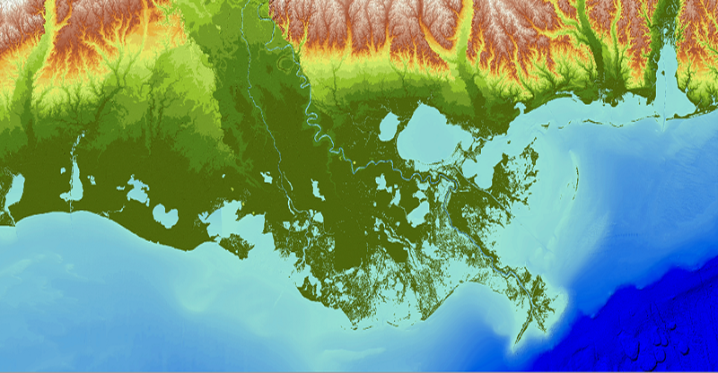
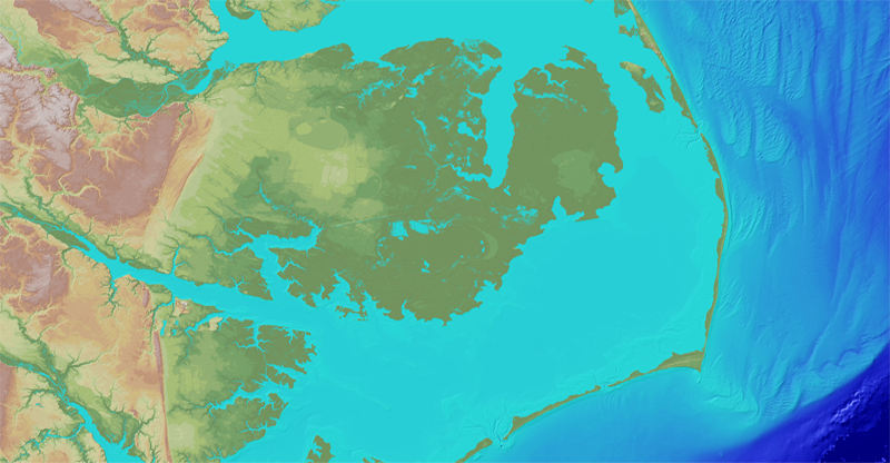
High-resolution coastal elevation data is required to identify flood, hurricane, and sea-level rise inundation hazard zones and other earth science applications, such as the development of sediment transport and storm surge models. Light detection and ranging (lidar) enables the rapid collection of very accurate elevation data over large areas, and during the last decade, airborne laser altimetry...
Related
Coastal National Elevation Database (CoNED) Applications Project
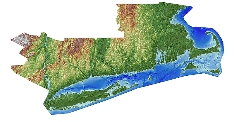
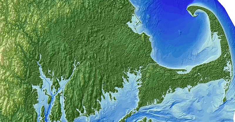
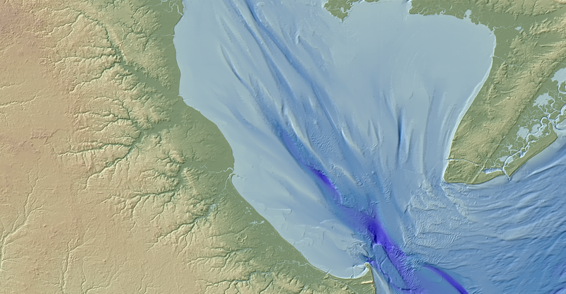
High-resolution coastal elevation data is required to identify flood, hurricane, and sea-level rise inundation hazard zones and other earth science applications, such as the development of sediment transport and storm surge models. Light detection and ranging (lidar) enables the rapid collection of very accurate elevation data over large areas, and during the last decade, airborne laser altimetry...