
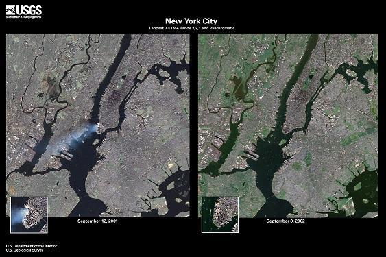
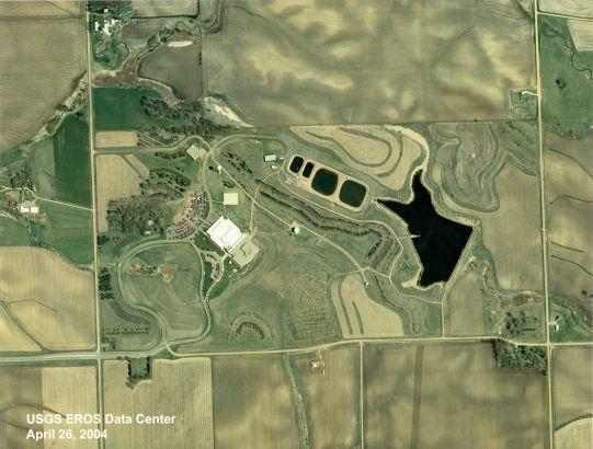
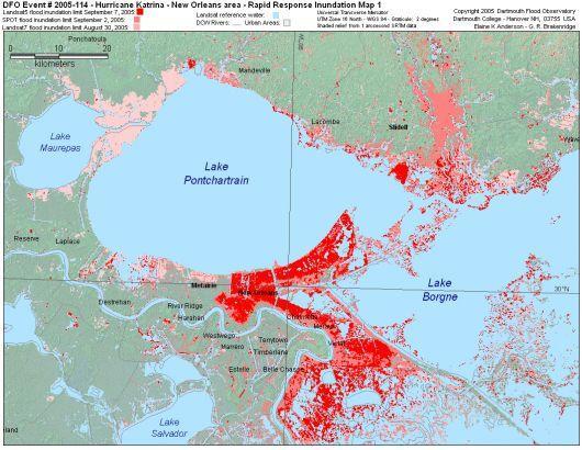
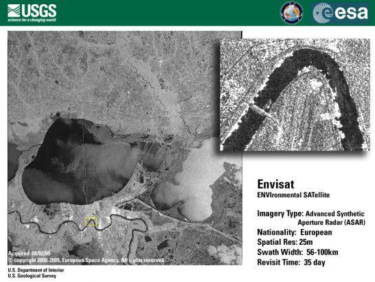
EROS History Project - 2000s


Detailed Description
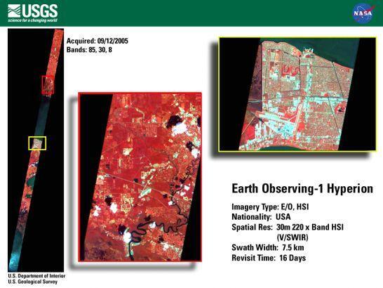
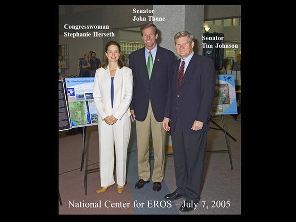
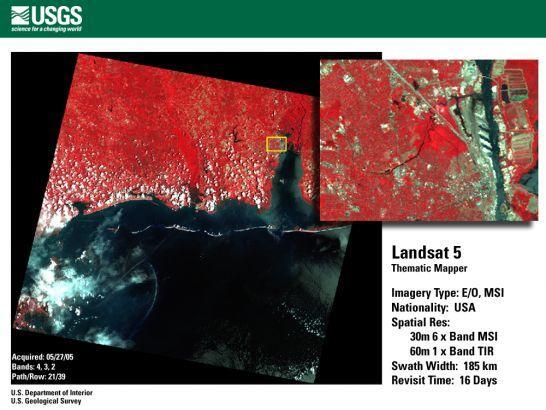
An EROS History Project slideshow about the events related to USGS EROS during the 2000s decade.
Sources/Usage
Public Domain.