
2025 Woods Hole Science Stroll

Detailed Description
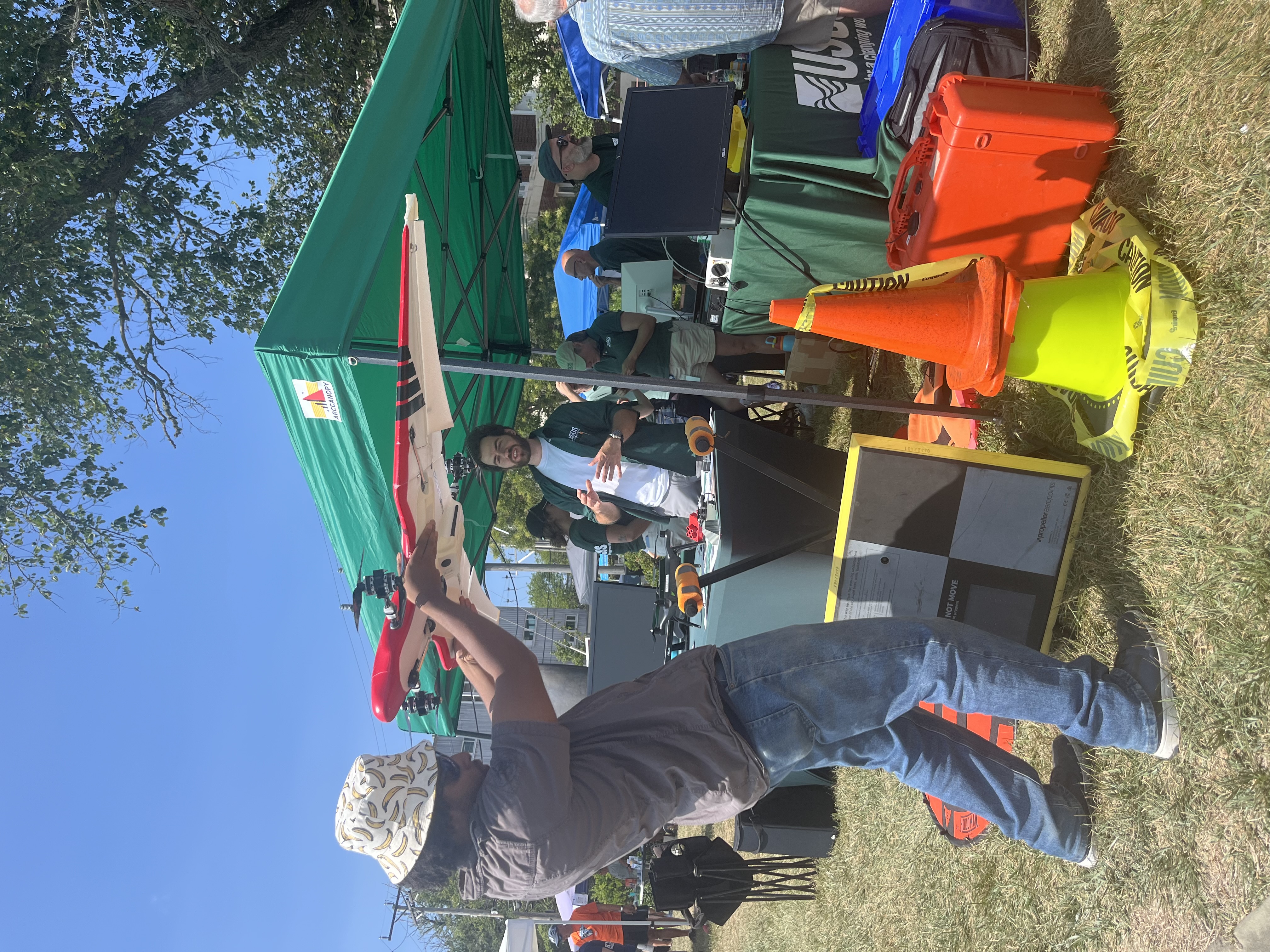
Checking out one of our drones! The Aerial Imaging and Mapping Group showcased uncrewed aircraft system technology (drones) of all sizes and talked about how they’re used to map short- and long-term changes in coastal landscapes. The group also flew one of the drones to demonstrate how they’re piloted.
Sources/Usage
Public Domain.