



2026 Southwest Colorado Storm-Triggering Landslide Hazard Estimate Map
By Landslide Hazards Program
November 2026 (approx.)


Detailed Description
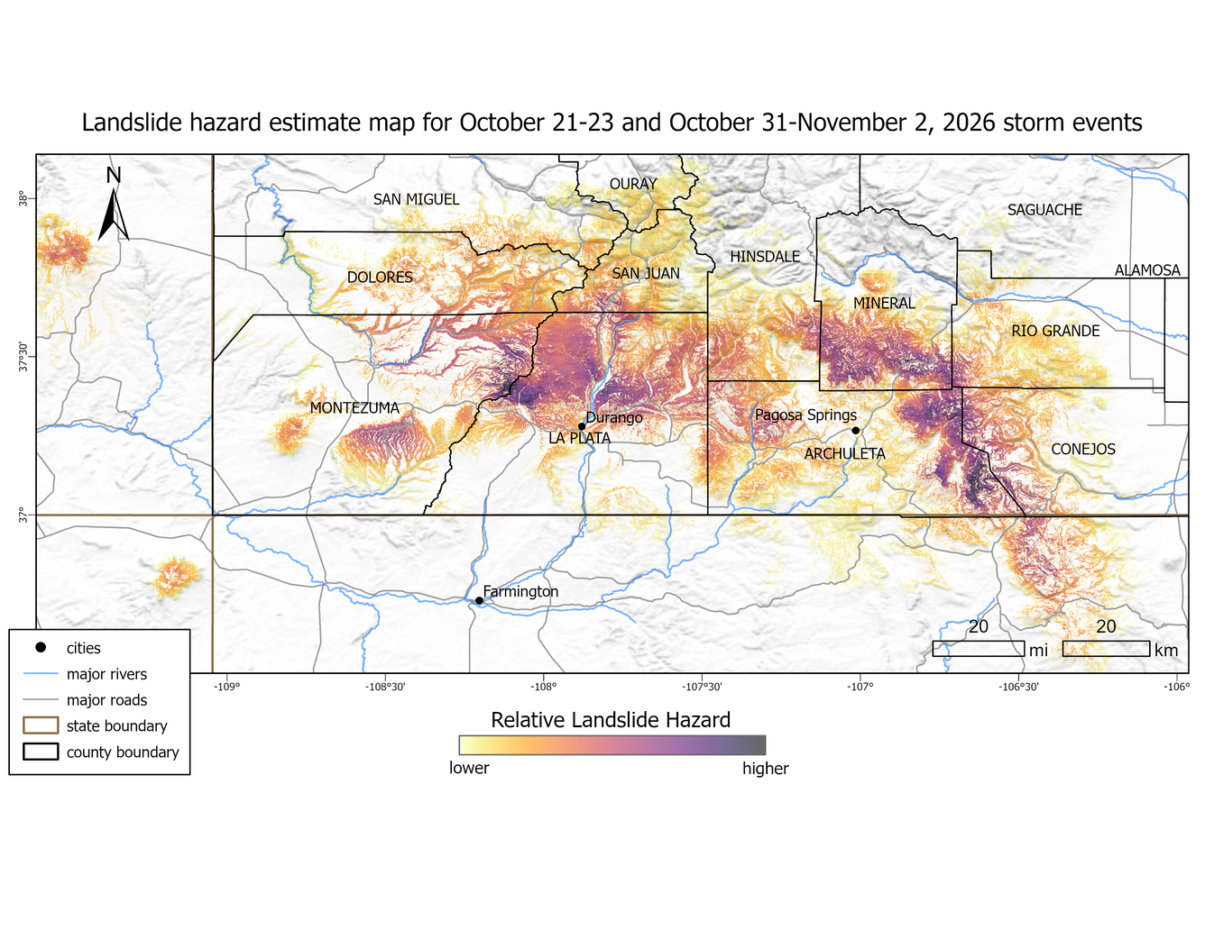
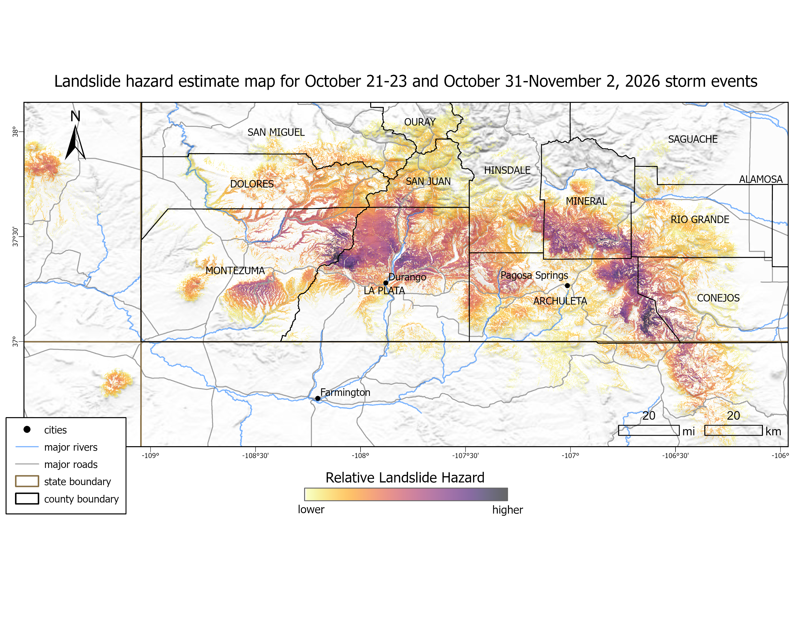
Landslide hazard estimate map for October 21-23 and October 31-November 2, 2026 storm events. Relative hazard is calculated by multiplying the USGS National Landslide Susceptibility Model by the NOAA Multi-Radar/Multi-Sensor System (MRMS) precipitation data. Landslide hazard was calculated for each storm event (October 21-23 and October 31-November 2), and the maximum hazard value was used.
Sources/Usage
Public Domain.