
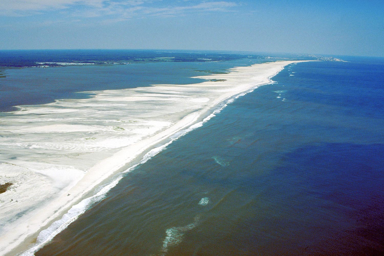
Aerial view of Assateague Island
By Coastal and Marine Hazards and Resources Program
1998 (approx.)

Detailed Description
Aerial view of Assateague Island, looking north. Ocean City, Maryland, is visible in the far distance at top. Sinepuxent Bay lies between the island’s western shore and the Delmarva Peninsula to the upper left. Photograph taken in 1998
Sources/Usage
Public Domain.