



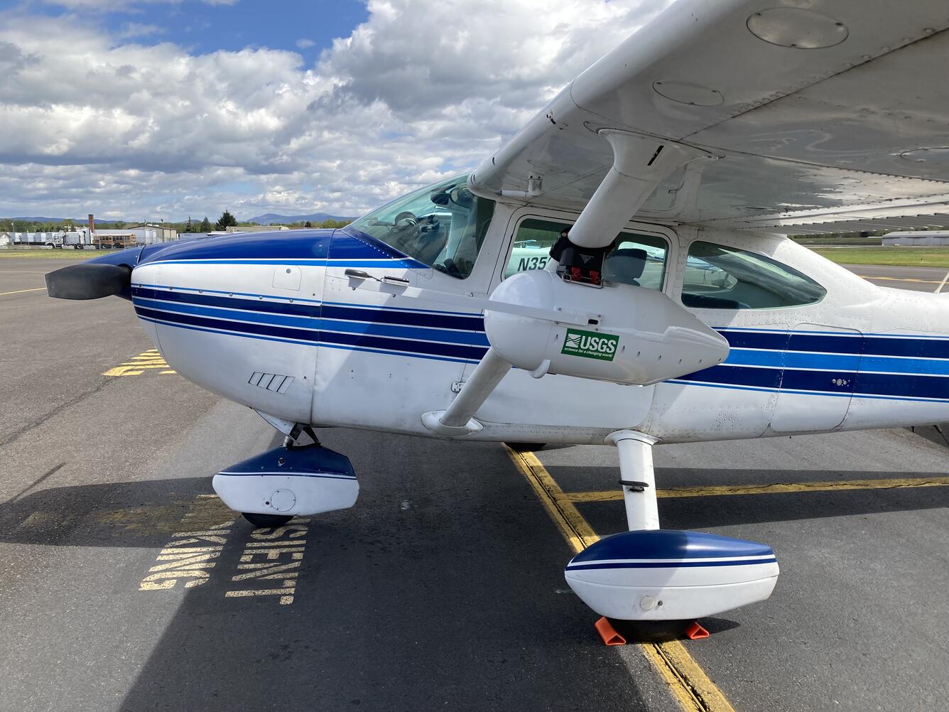
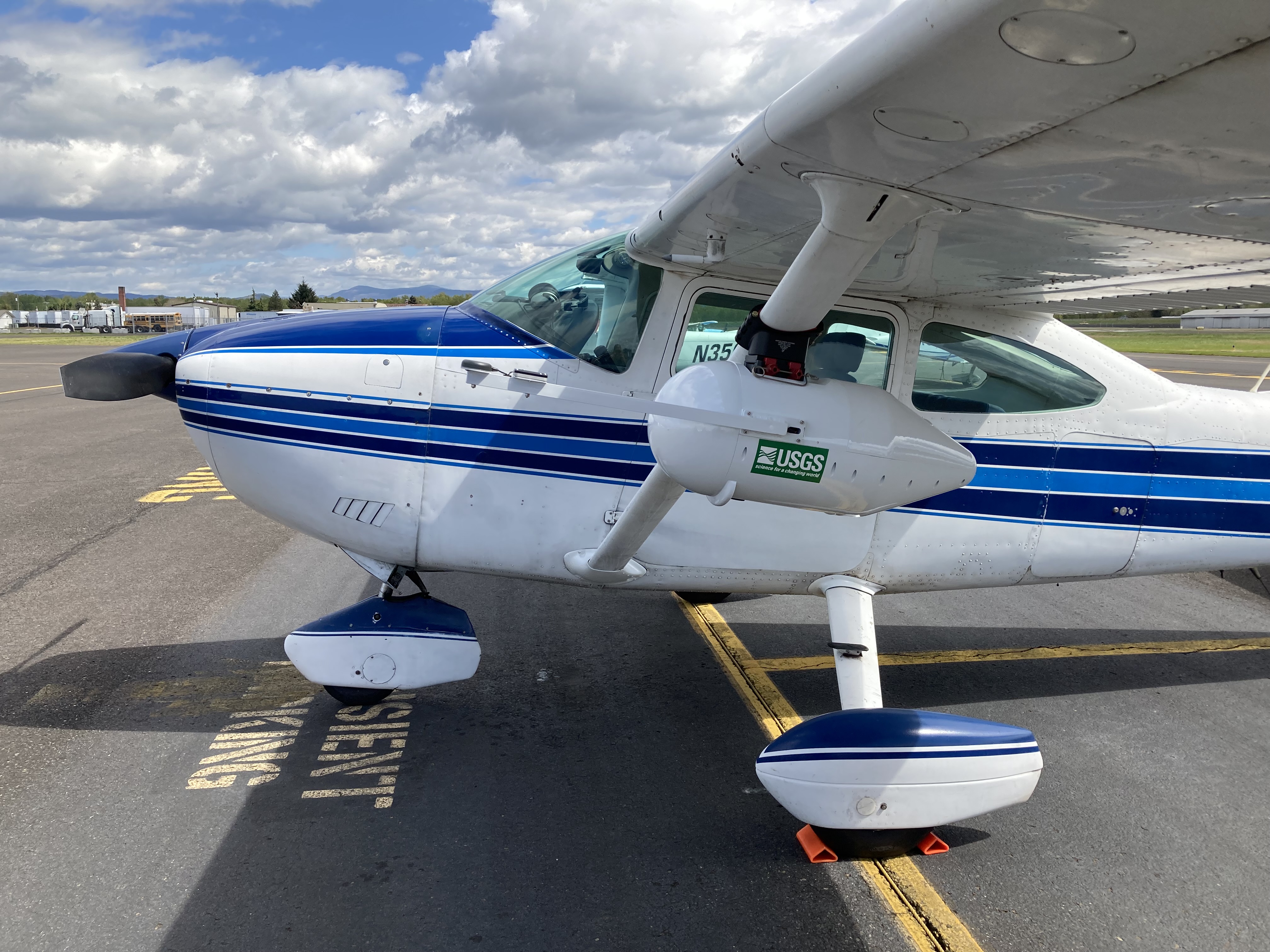
Aircraft equiped with USGS camera pod


Detailed Description
A contracted aircraft equipped with a USGS camera pod containing multispectral, thermal, and high-resolution red-green-blue cameras. April 26 - May 1, 2026, ORWSC conducted an airborne and field campaign to map the Clackamas, Molalla, and North Santiam Rivers. This work supports multiple projects as part of the Willamette Integrated Water Science (IWS) program. Remote sensing flights from a Cessna 182 aircraft carried a USGS camera pod with multispectral, thermal, and high-resolution red-green-blue cameras. These flights test 3 new camera systems and collect imagery to support mapping water depth, water temperature, and water velocity using both established and emerging image-processing methods. ORWSC staff joined scientists from the Hydrologic Remote Sensing Branch, and the Pacific Coastal and Marine Science Center - who have been instrumental in developing the camera systems and image processing workflows. ORWSC worked with the USGS Regional Aviation Manager to develop flight safety plans that comply with all agency aviation policies.
Sources/Usage
Public Domain.