
Ancient floodplain of the Lower Mississippi River, sometimes known as The Delta
Detailed Description
USGS researchers at the Mississippi Cooperative Fish and Wildlife Research Unit, in collaboration with the U.S. Army Corps of Engineers, established a conceptual framework for the management of this vast floodplain. The model facilitates communication among scientists, managers, engineers, farmers, and policymakers by visualizing the connections between key system drivers and ecological endpoints vital to the region's aquatic, agricultural, and forest resources. The model delineates a comprehensive strategy for rehabilitating ecosystems and enhancing biodiversity and recreation via re-establishment of riparian corridors, management of sediment influx, and enhancement of base flows, all while sustaining agricultural practices.
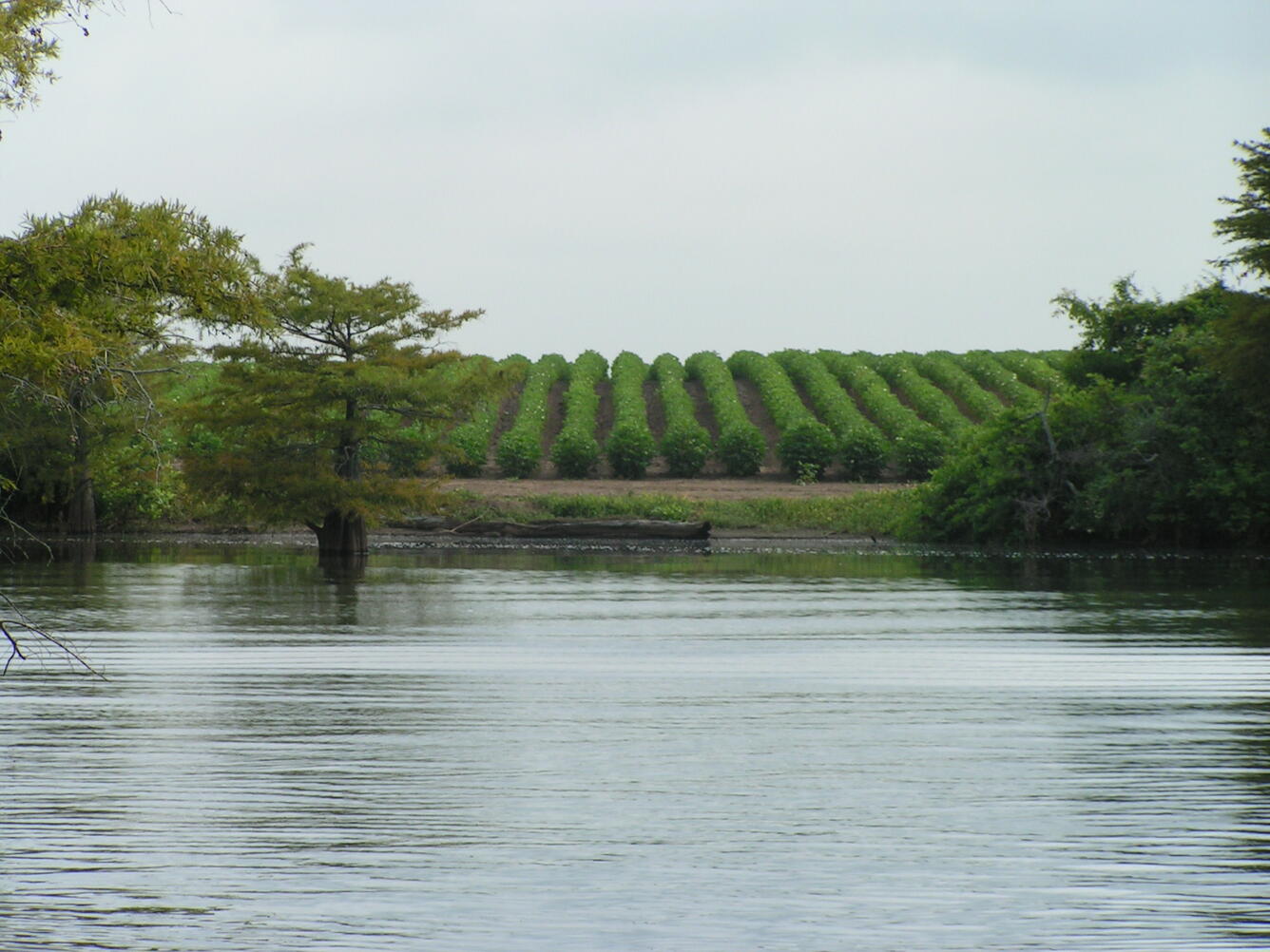
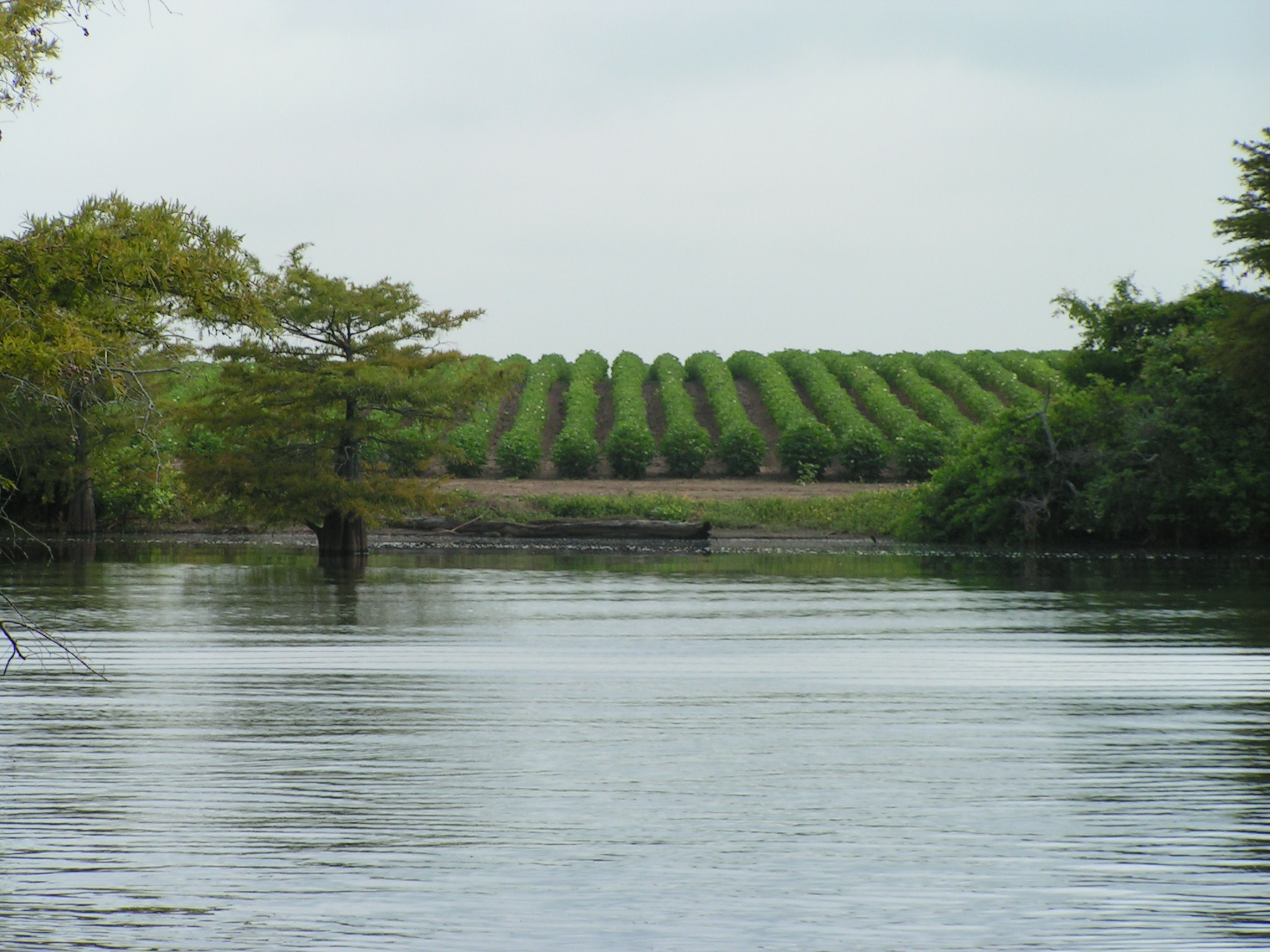
Agriculture, deforestation, and hydrological alterations have transformed the ancient floodplain of the Lower Mississippi River, sometimes known as The Delta. The Delta's diverse habitats support a significant aspect of North American biodiversity, encompassing nearly 50 mammal species, 60% of all bird species in the contiguous United States, 45 reptile and amphibian species, 37 mussel species, and over 100 fish species documented in oxbow lakes and backwaters. Considering the Delta’s contribution to biodiversity and recreation, along with its geological and historical significance, and primeval landscapes, the region is truly a national treasure.
Sources/Usage
Public Domain.
Mississippi Cooperative Fish and Wildlife Research Unit