
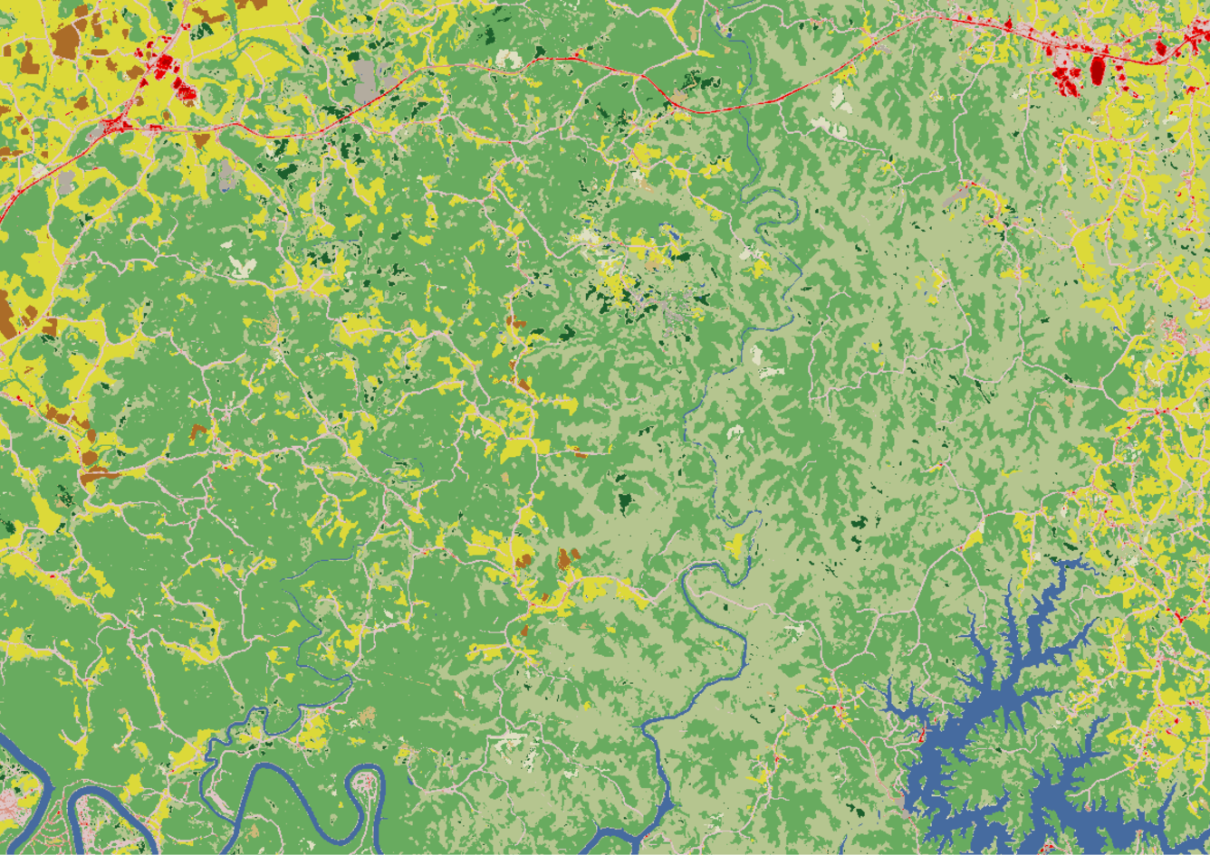
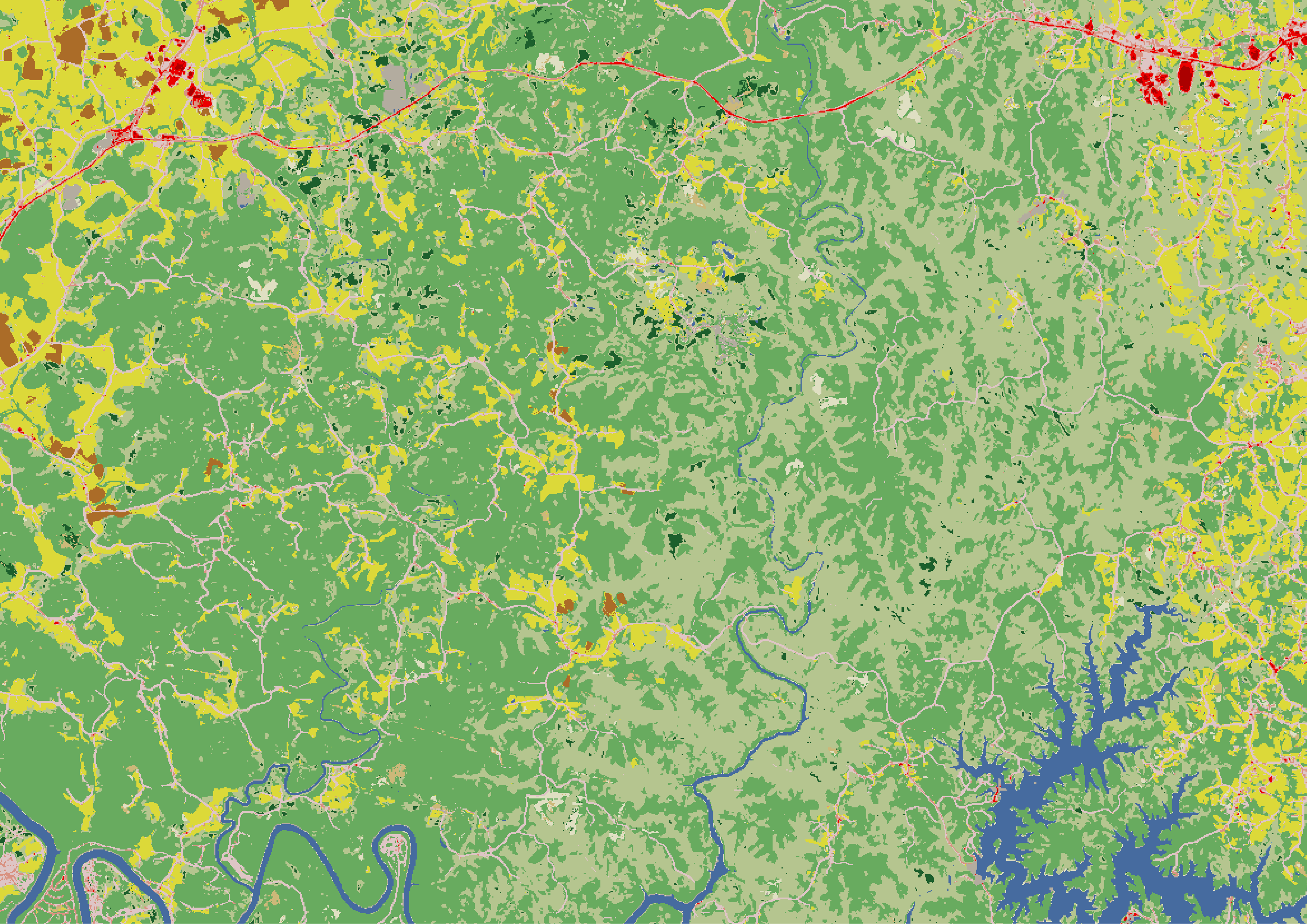
Annual NLCD 2024 map of part of Kentucky before a tornado
Altered Content -
Annual NLCD is produced using AI/ML techniques.
Detailed Description
A 2024 Annual National Land Cover Database (NLCD) map of part of southern Kentucky before a tornado tore through the Somerset and London area. Mixed forest is shown in light green, deciduous forest in medium green, and small patches of evergreen forest in dark green. Pasture/hay land is shown in yellow; small patches of cropland in dark brown; and open water in dark blue. Shades of pink and red are developed areas, including roads and residential areas.
Sources/Usage
Public Domain.