
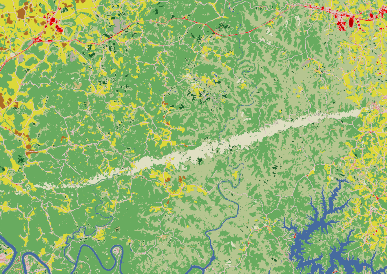
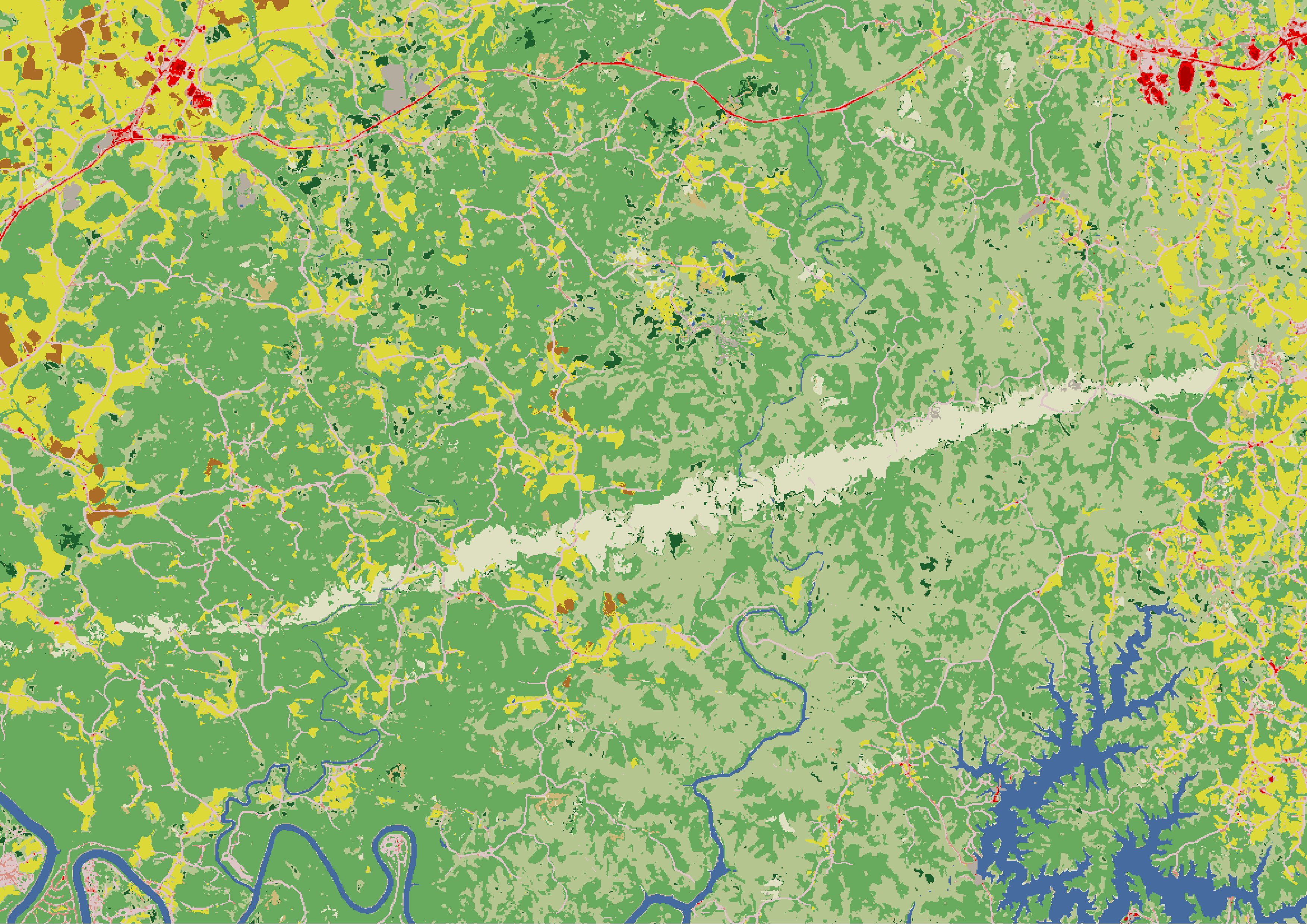
Annual NLCD 2025 map of part of Kentucky after a tornado
Altered Content -
Annual NLCD is produced using AI/ML techniques.
Detailed Description
A 2025 Annual National Land Cover Database (NLCD) map of part of southern Kentucky after a tornado tore through the Somerset and London area. Mixed forest is shown in light green, deciduous forest in medium green, and small patches of evergreen forest in dark green. Pasture/hay land is shown in yellow; small patches of cropland in dark brown; and open water in dark blue. Shades of pink and red are developed areas, including roads and residential areas. The light tan line, indicating the tornado’s path, shows where the land cover shifted from forest to grass.
Sources/Usage
Public Domain.